Other
Map of the Union and Confederate States
Two maps showing the Union and Confederate states at the beginning of the Civil War.
Siteseen
Siteseen: Civil Conflict: Confederate States of America
Outline of the beginning of the Civil War in which the Southern states began seceding from the Union and forming a Confederacy.
Yale University
The Avalon Project: Declaration of the State of Texas to Secede From the Union
Text of the causes which impel the State of Texas to secede from the Federal Union.
Curated OER
Etc: Maps Etc: United States and Confederate States, 1861
A map of the United States and Confederate States in 1861. The map is color-coded to show Free Union States, Slave Union States, Confederate States seceding before April 15, 1861, Confederate States seceding after April 15, 1861,...
CommonLit
Common Lit: "A Nation Divided: North vs. South" by Us history.org
The American Civil War was fought within the United States from 1861 to 1865. The election of President Abraham Lincoln in 1860 increased tension between the North and South. Lincoln's political party was interested in stopping the...
Annenberg Foundation
Annenberg Learner: America's History in the Making: Reconstruction
This wonderful unit from Annenberg Media examines Reconstruction through three themes: reintegrating the former Confederate states in to the Union; the freedom of blacks and what that entailed socially and economically; and the economic...
Independence Hall Association
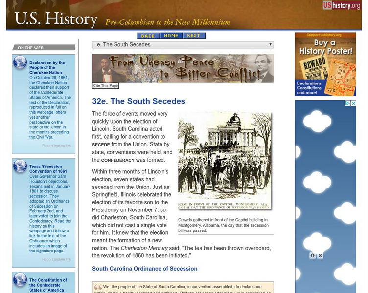
U.s. History: The South Secedes
South Carolina was the first to secede upon the election of Abraham Lincoln in 1860. Read about the secession of more states, the election of a president of the new Confederate States of America, and a last ditch effort to save the union.
Other
Museum of Florida History: Florida in the Civil War
A great site which covers a multitude of topics concerning Florida's role in the Confederacy in the Civil War. Some interesting topics are the everyday life of women, Union operations in Florida, and the coastal defenses.
Digital History
Digital History: Explorations: Why Did the South Secede?
Resource explores the states that withdrew from the Union at the beginning of the Civil War and why.
Curated OER
Etc: Maps Etc: United States at the Outbreak of the Civil War, 1861
A map of the United States and territories in 1861 at the outbreak of the Civil War. The map is color-coded to show the Union Free States, the Confederate States seceded before April 15, 1861, the Confederate States seceded after April...
Curated OER
Etc: The United States Secession, 1860 1861
A map showing the secession of the Confederate States from the Union, from the secession of South Carolina (December 20, 1860) to the secession of Tennessee (June 8, 1861). The map is color-coded to show the Federal States and territory...
Curated OER
Educational Technology Clearinghouse: Maps Etc: The United States, 1861
A map of the United States in 1861 after the secession of the Southern States. The map is color-coded to show the Free Union States, Union Slaveholding States, Confederate States, and the territories of Washington, Dakota, Nevada, Utah,...
Curated OER
Etc: Maps Etc: Reconstructed United States, 1870
A map of the United States and territories after the Civil War during reconstruction and readmission by 1870. The map is color-coded to show the 'Normal States’ (Union States), the 'Reconstructed States&’ (Confederate States), the...
Curated OER
Etc: United States During the Civil War, 1861 1865
A map of the United Stated during the American Civil War (1861-1865) showing State and territory boundaries, with dates of statehood for the territories from 1796 to 1861. The map is color-coded to show the Union States, Confederate...
ClassFlow
Class Flow: A Nation Divided
[Free Registration/Login Required] This is an interactive map of the United States in the year 1861, as the Confederacy formed and separated from the Union.
ClassFlow
Class Flow: Secession
[Free Registration/Login Required] This flipchart describes events leading to secession, including John Brown's Raid, Lincoln's election, and South Carolina's break with the Union. It also includes information on the first states to...
Curated OER
Etc: Southward Movement of Confederate Defenses, 1861 1865
A series of maps of the southeastern states showing the gradual southward movement of the Confederate defenses during the American Civil War, keyed to show the Confederate-held territories at the outset of the war and the advance of the...
The History Place
The History Place: A Nation Divided 1861 1865
This site presents a simple map detailing the divided nation during the U.S. Civil war.
Curated OER
Etc: First Defenses of the South During the American Civil War, 1860 1865
A map from 1920 of the Southeastern States showing the South's first line of defenses during the American Civil War (1861-1865). The map is color-coded to show the eastern Confederate States (indicating the States seceding before and...
Curated OER
Educational Technology Clearinghouse: Clip Art Etc: General Sherman
William Tecumseh Sherman (February 8, 1820 - February 14, 1891) was an American soldier, businessman, educator and author. He served as a General in the Union Army during the American Civil War (1861-65), for which he received...
Other
Vox: 37 Maps That Explain the American Civil War
April 1865 was a momentous month in American history. On April 9, the Confederate army under Robert E. Lee surrendered to the Union forces of Ulysses S. Grant, effectively ending the Civil War. Then on April 14, the victorious President...
Khan Academy
Khan Academy: Johnson, a Ride for Liberty the Fugitive Slaves
Eastman Johnson focused his art on the status of race in the United States right about the time of the American Civil War. View his picture "A Ride for Liberty-The Fugitive Slaves" that depicts slaves crossing battlefields from the...
Other
Crisis at Fort Sumter
Detailed background information is provided to assist users in solving the dilemmas facing President Lincoln in the events surrounding the fall of Fort Sumter.
Curated OER
Educational Technology Clearinghouse: Clip Art Etc: Benjamin Franklin Wade
Benjamin Franklin "Bluff" Wade (October 27, 1800 - March 2, 1878) was a U.S. lawyer and United States Senator from Ohio. In the Senate, he was associated with the Radical Republicans of that time. Wade, along with other politicians,...


