Curated OER
Native Americans - People of the Plains
Students explore Plains Indians and practice computer skills by reading creation and migration stories on People of the Plains CD-ROM, and watching Plains video. Students examine village life of Plains Indians, and view different...
Library of Congress
Loc: Map Collections 1500 2002
This collection provides maps dating back to 1500 up to the present. The collection includes: cities, towns, discovery and exploration, conservation and environment, military battles, cultural landscapes, transportation, communication,...
A&E Television
History.com: The States
Learn unique facts about each American state. You can also read a more in-depth history of each state, watch videos and play a game about all the states.
University of Oregon
Mapping History: American History
Interactive and animated maps and timelines of historical events and time periods in American history from pre-European times until post-World War II.
Annenberg Foundation
Annenberg Learner: United States History Map: Indians
An interactive site showing the Native American culture areas and the major tribes living in those areas before the arrival of the Europeans. Click to find out more about Indians living in those area and find a game that challenges you...
University of Texas at Austin
University of Texas: Map of Early Indian Tribes in Eastern u.s.
A map of the land inhabited by Indian tribes in the eastern part of the United States before European settlement. Map shows linguistic stocks as well as culture areas, major, and minor tribes.
Virginia History Series
Virginia History Series: Virginia State History 20th Century (1921 1940) [Pdf]
The Roaring Twenties was a time of great prosperity in America and Virginia. However, it ended with a bust that shook our country to its core. Imagine the culture of this time with the help of pictures, charts, and maps. This slideshow...
The Newberry Library
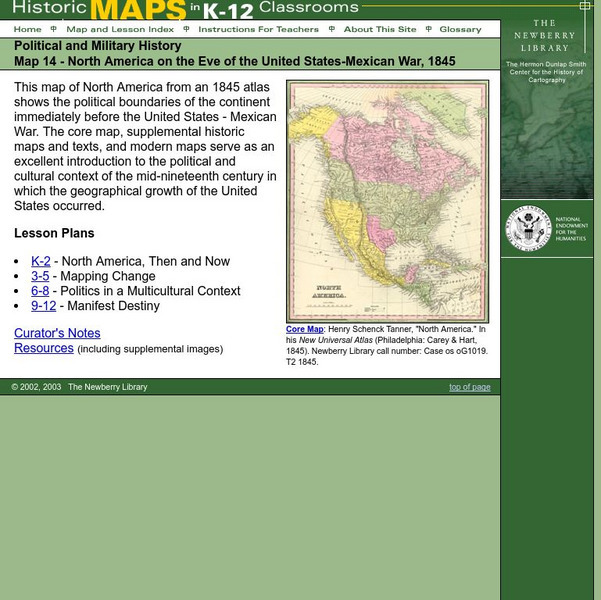
Newberry: Political and Military History: Map 14: u.s. Mexican War, 1845
Lessons for students in K-12 depicting North America prior to the United States and Mexico War, 1845. Students explore the mid-century political and cultural context in which the U.S. experienced growth and expansion.
SMART Technologies
Smart: Native American Unit
This lesson activity introduces to the students the diversity that exists among Native Americans. It provides a map of the tribes in the United States, the tribes in various sections of the US and information about the cultures of these...
Other
Embassy of Honduras in Washington, d.c.
This is the official website of the Embassy of Honduras in the United States. Has an abundance of information on tourist destinations and general facts on country-specific topics including art, geography, climate, government, history,...
American-Israeli Cooperative Enterprise
Jewish Virtual Library: Un Partition Plan, September 1947
This authentic UN map depicts the political lines to be drawn to partition Palestine as established in 1947.
American-Israeli Cooperative Enterprise
Jewish Virtual Library: The Partition Plan
The background for creating a plan to partition Palestine, as well as the details of the plan itself and its effects are discussed.
American-Israeli Cooperative Enterprise
Jewish Virtual Library: Israeli Population Statistics Table
A table sorting population demographics by religion, age, and urban centers.
Other
Great Lakes Information Network
The Great Lakes Science Center provides research on various topics concerning the Great Lake environment such as fish advisories, contaminants, threatened species, low water levels, and sustainable development of the Lakes.
ClassFlow
Class Flow: Immigration
[Free Registration/Login Required] Immigration to the United States (Ellis Island and Angel Island) is explained beautifully by describing the interactions and contributions of the various peoples and cultures that have immigrated to the...


