Curated OER
Chesapeake and Ohio Canal
Students use maps, readings, drawings, plans and photos to research and the importance of canals in the early industrial economy of America. They consider the development of the Potomac River Canal and research early transportation methods.
Curated OER
Joseph Bellamy House
Pupils use maps, readings, drawings and photos to research the career and importance of Reverend Joseph Bellamy as a religious leader in New England during the Great Awakening. They also identify the basic principles of Puritanism.
Curated OER
Attu Battlefield: U.S. Army and Navy Airfields on Attu
Students use maps, readings, drawings and photos to research the World War II Battle of Attu. They explain the importance of the battle, discuss the valor and loyalty of both American and Japanese troops and analyze sources of historical...
Curated OER
Walk and Bike Across America
Students learn how to use maps, compute mileage, and be physically active while exploring America's national parks, historical heritage, and nutritional information via key agricultural sites.
Curated OER
How We Get From Here to There
Students recognize various types of movement people rely on to get from one place to another, locate the forms of movement on a map and choose one form of movement and research its path.
Curated OER
Email Around the World
Students send and receive e-mail messages and find the location of each of the messages on a map. Students then write a description and trivia facts about their school to send to others.
Curated OER
Start with a Chart
Students use a given chart and the 50 state quarters to synthesize information about the 50 states and the dates that they were admitted into the union. Students complete a math worksheet while referring to the chart.
Curated OER
Mount Auburn Cemetery
Young scholars use photos, maps and reading materials to examine the history and role of Mount Auburn Cemetery. They analyze the landscape of the cemetery, consider how it affects visitor's emotions and feelings and then design an...
Curated OER
Shore is Windy!
Students consider what a hurricane is and how it impacts both land and people, explore the speculations surrounding Hurricane Isabel, research potential target sites and create maps illustrating how Isabel may affect them.
Curated OER
Mills of New Hampshire
Students locate mill sites on a New Hampshire map. They describe who worked in the mills and their working conditions. They examine the environmental impact of the mills and work together to find out more information about mills.
Curated OER
Traveling the Transcontinental from Yesterday to Today
High schoolers examine the impact of the train on the physical landscape and spatial organization of America. They read and analyze various poems, analyze maps, and develop a list of the positive and negative changes brought by the...
Curated OER
Wetland Safari!
Students identify how humans, fish, plants, birds, insects and other wildlife benefit from wetland environments. They observe a wetland and its inhabitants, draw a migration map that represents how birds use wetlands in traveling long...
Curated OER
Children's Literature
Introduce the students to basic economic concepts and types of economic systems and develop the an understanding of how economic choices involve costs and consequences; provide introduction to rural America circa 1920 and compare to our...
Curated OER
The New Californians
Young scholars identify the groups of immigrants who came to California. They trace the route they possibly took to American on a world map. They discuss the reasons why they left their homeland and what challenges they faced once they...
Curated OER
Oceans
First graders recognize that nearly three quarters of the Earth is covered by ocean. They locate the Pacific, Atlantic, Indian, Arctic and Antarctic oceans on a map. They describe the difference between ocean water and fresh water.
Curated OER
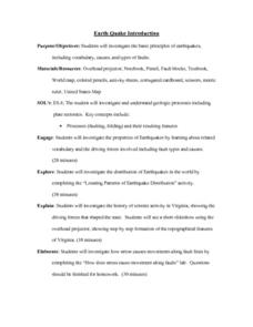
Earthquake Introduction
Students investigate basic principles and properties of earthquakes, including vocabulary, causes, and types of faults. They examine history of seismic activity in their home state, and complete "Locating Patterns of Distribution" lab.
Curated OER
Australia
Sixth graders study the continent of Australia. In this Geography lesson, 6th graders create an Australian city using their knowledge of Australian cities. Students participate in a game about the continent.
Curated OER
Hole Hole Bushi
Fourth graders play a written rhythm pattern. They state when a rhythm pattern varies from a given pattern by listening to an ostinato. They state reasons why people migrate to different lands.
Curated OER
Ancient Greece: The Olympics and the Gods
Research Ancient Greece, the Olympic games, and Greek mythology. Young historians will research Ancient Greece and complete multiple activities about the history and culture. This is a unit of lessons.
Curated OER
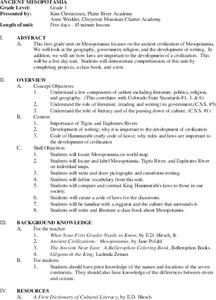
Ancient Mesopotamia
Students locate ancient Mesopotamia on a map. They examine the religion, government and the development of writing. They write and draw pictographs and cuneiform writing. They create a class book based on their investigations.
Curated OER
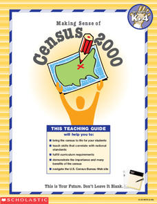
Making Sense of the Census
In this unit of lessons, students make sense of the Census. They examine why a census is taken and participate in activities.
Curated OER
The Russian View of Territorial Encroachment
Twelfth graders produce a map illustrating the current NATO members, future nations, and nations that have applied for membership. They research current information regarding NATO, and the Russian viewpoint about the expansion of NATO....
Curated OER
A Capital Idea
Young scholars write a description of the spatial organization of the former and present location of New Hampshire's state capital. They analyze maps, participate in a class discussion, and calculate the distance of Concord from the...
Curated OER
American Journeys: Learn About Illinois
Fourth graders explore the state of Illinois. They use maps and research the state of Illinois. Students track their trip through the state and they create a travel narrative of their journey. Students use maps to identify geographical...


