Curated OER
Etc: Post Civil War United States, 1865 1892
A map of the United States after the American Civil War showing political facts, boundaries, and conflicts regarding the post-Civil War reconstruction (1865-1892).
Virginia History Series
Virginia History Series: Virginia State History Wwii Era (1940 1948) [Pdf]
WWII awakened a massive development in Virginia from manufacturing to naval bases. Follow the course of the war through pictures, maps, charts and political cartoons. Visualize life in America and abroad during the war.
The Dirksen Congressional Center
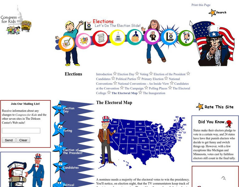
Congress for Kids: Elections: The Electoral Map
Find out how the United States Electoral College map is determined every ten years by the official Census.
BBC
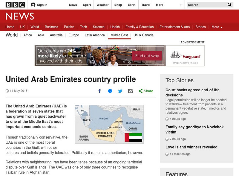
Bbc: News: Country Profile: United Arab Emirates
BBC News presents a general overview of the United Arab Emirates which is a federation of seven states. Focus is on history, current information, country facts, political leaders, and news media. Provides links to a timeline of key...
Curated OER
Etc: Maps Etc: United States Showing Political Divisions, 1919
A map from 1919 of the Unites States showing state boundaries and capitals, major cities and towns, mountain systems, lakes, rivers, and coastal features.
Curated OER
Etc: Maps Etc: Political Acquistitions of the United States, 1911
A map from 1911 of the United States showing the territorial acquisitions from the original States and Northwest Territory in 1783 to the Gadsden Purchase south of the Gila River in 1853. The map shows state capitals and major cities,...
Curated OER
Science Kids: Science Images: Map of the United States of America
A political map of the United States of America.
Curated OER
Etc: Maps Etc: Presidential Election by States, 1801
A map of the United States showing the results of the 1801 presidential election, and shows the 16 states, territories, disputed areas, and Spanish Florida. At the time, the Vice Presidency was determined by the Electoral College, with...
Curated OER
Educational Technology Clearinghouse: Maps Etc: Party Situations, 1855
A map of the United States showing the results of the 1855 State elections, indicating the political trends regarding the Kansas-Nebraska Act of 1854 and the slavery issue in the admission of Kansas into the Union.
American-Israeli Cooperative Enterprise
Jewish Virtual Library: Un Partition Plan, September 1947
This authentic UN map depicts the political lines to be drawn to partition Palestine as established in 1947.
Cengage Learning
Investigating Social Change: Midwest
Explore the evolution of the Midwest region of the United States. Students and teachers will gain a different perspective about the Midwest when they check out this site.
University of Washington
University of Washington: Communist Party Usa History and Geography
Maps and charts detail electoral support, showing the number and percentage of votes for Communist candidates in every county and state from 1922 to 1946, party membership by state or district from 1922-1950, the intense geography of...
Curated OER
Educational Technology Clearinghouse: Maps Etc: East Indies, 1920
A map from 1920 of the Indonesian region showing the political boundaries and foreign possessions at the time for the Sunda Islands, Borneo, Celebes, the Moluccas, the Philippines, the Province of Malay Peninsula, and portions of Siam...
US National Archives
National Archives: Lewis and Clark's Expedition to the Complex West
Jefferson sent Lewis and Clark to explore the land annexed in the Louisiana Purchase knowing that his area was already inhabited and politically complicated. Students will explore documents related to the purchase and use the map to...
Curated OER
Etc: Maps Etc: Route of the Panama Isthmian Canal, 1904
A map from 1904 of the Panama Canal showing terrain relief of the isthmus, noting the 'Canal always follows the line of the Railroad’ from Colon to the city of Panama. "For generations the Panama Canal had been the dream of man and for...
Curated OER
Etc: Maps Etc: Mexico, Central America, and the West Indies, 1906
A map from 1906 of Mexico, Central America, and the West Indies showing the political boundaries at the time, capitals and major cities, mountain systems, coastal features, and islands of the region. An inset map shows the entire North...
Curated OER
Educational Technology Clearinghouse: Maps Etc: Mexico and Central America, 1910
A map from 1910 of Mexico and Central America showing political boundaries at the time, capitals and major cities, rivers, terrain and coastal features, reefs, and neighboring islands (Cuba and Jamaica). A map note shows the Panama Canal...
Curated OER
Educational Technology Clearinghouse: Maps Etc: North America, 1921
A map from 1921 of North America, Central America, Greenland, and the Caribbean showing political borders, capitals and major cities, railroads, canals, mountain systems, lakes, rivers, islands, and coastal features of the region. An...
Curated OER
Etc: Maps Etc: The Surface of North America, 1912
A base relief map from 1912 of North America, Central America, Greenland, and the Caribbean to Puerto Rico showing the general surface terrain, including mountain systems, highlands, plains, and major river systems of the region....
American-Israeli Cooperative Enterprise
Jewish Virtual Library: The Partition Plan
The background for creating a plan to partition Palestine, as well as the details of the plan itself and its effects are discussed.
Curated OER
Map of United Arab Emirates
BBC News presents a general overview of the United Arab Emirates which is a federation of seven states. Focus is on history, current information, country facts, political leaders, and news media. Provides links to a timeline of key...
American-Israeli Cooperative Enterprise
Jewish Virtual Library: The Line of June 4, 1967
Discusses the history of the demarcation lines between Israel and Syria--lines which in part caused the June War.
American-Israeli Cooperative Enterprise
Jewish Virtual Library: Israeli Population Statistics Table
A table sorting population demographics by religion, age, and urban centers.
US National Archives
Docsteach: Lewis & Clark's Expedition to the Complex West
This activity can be used as an introduction or for a closer study of the Lewis & Clark Expedition. Students will learn that the United States purchased the Louisiana Territory in 1803 and President Thomas Jefferson sent Lewis and...


