Curated OER
Introduction to Indians and the First Thanksgiving
Students use yarn to create a timeline of the first Thanksgiving. After a class discussion, they view pictures of artifacts and Native Americans to identify the tools and items present during the first Thanksgiving. In groups, they...
Curated OER
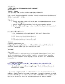
Cultural Impact on Development of African Kingdoms
Ninth graders consider the impact of development on African kingdoms. In this cultural diversity lesson plan, 9th graders conduct independent research to determine how development has changed Africa. Students write research papers based...
Curated OER
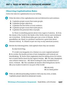
Observing Capitalization Rules
In this capitalization worksheet, students complete three activities that help them follow the rules for capitalization in their writing.
A&E Television
History.com: The States
Learn unique facts about each American state. You can also read a more in-depth history of each state, watch videos and play a game about all the states.
ClassFlow
Class Flow: The Southeastern Region of the United States
[Free Registration/Login Required] Exciting movies bring alive our Southeastern United States region, covering the economy, history, climate (to include hurricanes), and geography. Formative assessment allows the students success....
University of Virginia
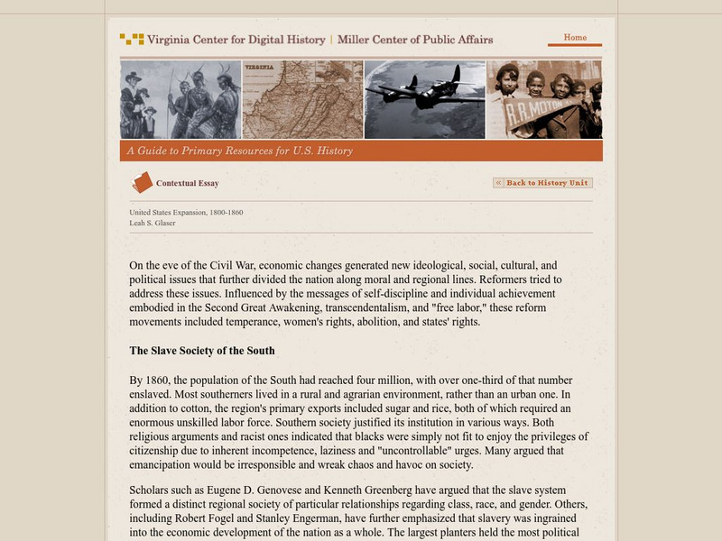
Virginia Center for Digital History: United States Expansion, 1800 1860
An essay that looks at issues affecting Americans leading up to the Civil War. These included economic changes that led to new ideological, social, cultural, and political issues that further divided the nation along moral and regional...
NOAA
Noaa: Cpc: Regional Climate Maps
Provides large colorful maps of climate data about each continent for the current week, month, or previous quarter.
Digital History
Digital History: The Old South: Images and Realities
First read the plantation legend about life in the South. The remainder of the article refutes the legend, explains the differences in many facets of the South, and emphasizes the importance of the Southern agricultural output to the...
Other
Wiche: Western State College Tuition Agreements
The WICHE serves the 15 Western state region of the United States through assisting students in getting affordable access to educational programs of study.
ClassFlow
Class Flow: The Southeast Region
[Free Registration/Login Required] This flipchart, created for third grade students studying the various regions of the United States, contains information and Internet links for each state in the southeast region. A crossword puzzle...
Curated OER
Etc: Territorial Development of the United States, 1783 1889
A map from 1889 of North America showing the expansion in the region of the United States from the original Thirteen Colonies at the end of the Revolutionary War in 1783 to the time the map was made, around 1889, before the territories...
Central Intelligence Agency
Cia: World Factbook: Regional and World Maps
Maps of major areas of the world can be downloaded here. The maps have excellent detail and are in color.
Independence Hall Association
U.s. History: Social Change and National Development
As the United States grew geographically, along with developing a national identity, there was also an increasing identity with regionalism. Read about the various regions, along with the changes in economics and religion in this period...
National Weather Service
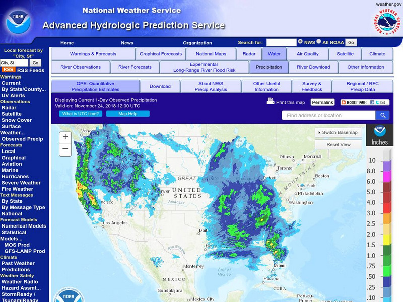
National Weather Service:climate Prediction Center: Daily Precipitation Analysis
Find real-time daily precipitation analysis for the United States, Mexico, and South America as well as accumulated precipitation maps for the past 30 or 90 days.
Curated OER
Educational Technology Clearinghouse: Maps Etc: South America, 1898
A map of South America in 1898. The map shows capitals and major cities, railroads, terrain, rivers, and coastal features, and includes an insert map of the Isthmus of Panama. "The chief industries in South America are herding,...
Other
Oneworld.net
Oneworld.net is an internet based news source providing the latest news from around the world. They represent over 1600 organizations that promote human rights awareness.
University of Nebraska Omaha
Ec Ed Web: Places and Production
In this lesson from the University of Omaha, "Middle schoolers calculate United States GDP and GDP per capita, use a choropleth map to acquire information, and create choropleth maps of GDP per capita in South America. They identify...
Smithsonian Institution
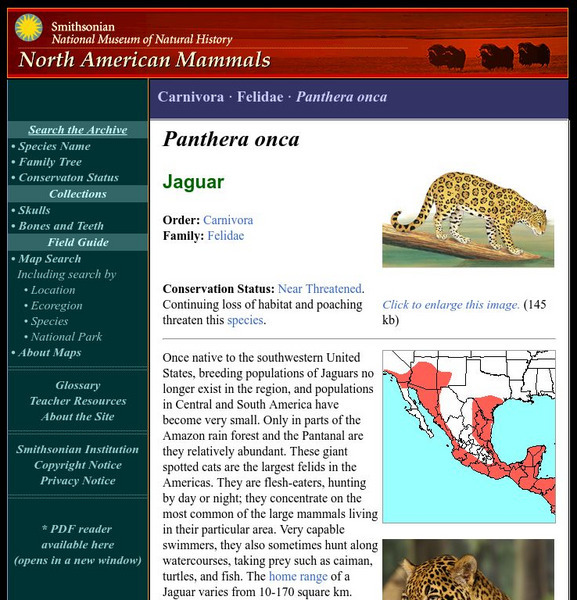
National Museum of Natural History: American Mammals: Jaguar
Once native to the southwestern United States, breeding populations of Jaguars no longer exist in the region, and populations in Central and South America have become very small. Only in parts of the Amazon rainforest and the Pantanal...
Encyclopedia Britannica
Encyclopedia Britannica: Howard W. Odum
This entry from Encyclopedia Britannica features Howard W. Odum, an American sociologist who was a specialist in the social problems of the southern United States and a pioneer of sociological education in the South. He worked to replace...
Curated OER
Etc: Maps Etc: Mexico, Central America, and the West Indies, 1898
A map from 1898 of Mexico, Central America and the West Indies. The map includes an inset map of Cuba and the Isthmus of Nicaragua. "The surface of the Rocky Mountain highland in Mexico is quite similar to that of the great plateau...
Curated OER
Educational Technology Clearinghouse: Maps Etc: North America, 1783
A map of North America, Central America, and northern South America at the end of the American Revolutionary War (1783). The map is color-coded to show the territory of the United States at the time, British possessions in Canada,...
Curated OER
Unesco: Canada: Rideau Canal
The Rideau Canal, a monumental early 19th-century construction covering 202 km of the Rideau and Cataraqui rivers from Ottawa south to Kingston Harbour on Lake Ontario, was built primarily for strategic military purposes at a time when...


