Curated OER
Educational Technology Clearinghouse: Maps Etc: United States, 1898
A map from 1898 of the 'lower forty-eight’ United States showing state boundaries and state capitals, major cities and towns, railroads, mountain systems, lakes, rivers, and coastal features. This map shows the Indian Territory in...
Curated OER
Educational Technology Clearinghouse: Maps Etc: United States, 1888
A map from 1888 of the United States showing state boundaries and state capitals, major cities and towns, mountain systems, lakes, rivers, and coastal features. Longitude from Greenwich is shown at the top of the map, and from Washington...
Curated OER
Educational Technology Clearinghouse: Maps Etc: The United States, 1897
A map from 1897 of the continental United States showing state boundaries and state capitals, major cities, mountain systems, lakes, rivers, and coastal features.
Curated OER
Educational Technology Clearinghouse: Maps Etc: The United States, 1919
A map from 1919 of the continental United States showing state boundaries. The map shows state capitals and major cities, mountain systems, lakes, rivers, and coastal features.
Curated OER
Educational Technology Clearinghouse: Maps Etc: The United States, 1870
A map from 1870 of the continental United States showing state boundaries at the time (eastern Oklahoma was still Indian Territory). The map shows state capitals and major cities, mountain systems, lakes, rivers, and coastal features.
Curated OER
Etc: United States Civil War, 1861 1865
A map of the eastern United Stated during the American Civil War (1861-1865). The map is color-coded to show the Union States, and the Secession States of the Confederacy. The map shows major cities and towns, railroads, rivers, and...
Curated OER
Educational Technology Clearinghouse: Maps Etc: United States, 1901
A map from 1901 of the United States showing the physical features of the area, including mountain systems and highlands, plateaus, basins, plains, lakes, rivers, and coastal features. The map is color-coded to show land elevations from...
Curated OER
Educational Technology Clearinghouse: Maps Etc: The United States, 1913
A map from 1913 of the United States with an inset map of the Alaska Territory. The map shows state boundaries and capitals at the time (for example, the map shows Guthrie as the capital of the Oklahoma Territory), major cities and...
Curated OER
Etc: Maps Etc: Commercial Map of the United States, 1872
A commercial map from 1872 of the United States showing the principal railroad and steamship routes in the region at the time. The map shows state boundaries and capitals, major cities and ports, submarine telegraph cables to Europe,...
Curated OER
Educational Technology Clearinghouse: Maps Etc: The United States, 1859
A map from 1859 of the United States showing State and territory boundaries at the time, capitals and major cities, mountain systems, plains, lakes, rivers, and coastal features of the area.
Curated OER
Unesco: United States of America: Olympic National Park
Located in the north-west of Washington State, Olympic National Park is renowned for the diversity of its ecosystems. Glacier-clad peaks interspersed with extensive alpine meadows are surrounded by an extensive old growth forest, among...
Curated OER
Educational Technology Clearinghouse: Maps Etc: The United States, 1790
A map of the early United States showing the expansion of settlements by 1790. The map is shading-coded to show the area of settlement before 1760, and between 1760 and 1790, including the areas west of the Alleghany Mountains in the...
Curated OER
Etc: Maps Etc: Freedom and Slavery in the Early United States, 1790
A map of the United States and territories east of the Mississippi River in 1790, showing the areas of freedom and slavery at the time, including the territory of the Northwest, free by the Ordinance of 1787.
Curated OER
Etc: Maps Etc: United States and Neighboring Lands, 1920
A map from 1920 of southern Canada, the United States, and northern Mexico showing terrain features, lakes and river systems, and general vegetation types of the region. The map is keyed to show the submerged portion of the continental...
Curated OER
Educational Technology Clearinghouse: Maps Etc: The United States, 1897
A relief map from 1897 of the United States showing the mountain systems and highlands, plateaus, basins, plains, lakes, river systems, and coastal features.
Curated OER
Educational Technology Clearinghouse: Maps Etc: The United States, 1898
A map from 1898 of the United States showing physical features of mountain systems and highlands, basins, plains, prairies, limits of the glacial terminal moraines, lakes, rivers, and coastal features. The highlands above 2000 feet are...
Curated OER
Educational Technology Clearinghouse: Maps Etc: The United States, 1902
A map from 1902 of the United States showing physical features of mountain systems and highlands, basins, plains, prairies, limits of the glacial terminal moraines, lakes, rivers, and coastal features. The highlands above 2000 feet are...
Curated OER
Etc: Maps Etc: Orographical Map of the United States, 1906
An orographical map from 1906 of the United States showing terrain features including mountain systems, plateaus and slopes, watersheds, lakes, and rivers. The map is color-coded to show land elevations from sea level to over 10,000 feet.
US Environmental Protection Agency
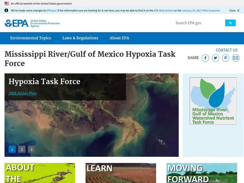
Epa: Mississippi River / Gulf of Mexico Hypoxia Task Force
Learn about the task force formed to help the public understand the causes and effects of eutrophication in the Gulf of Mexico.
Library of Congress
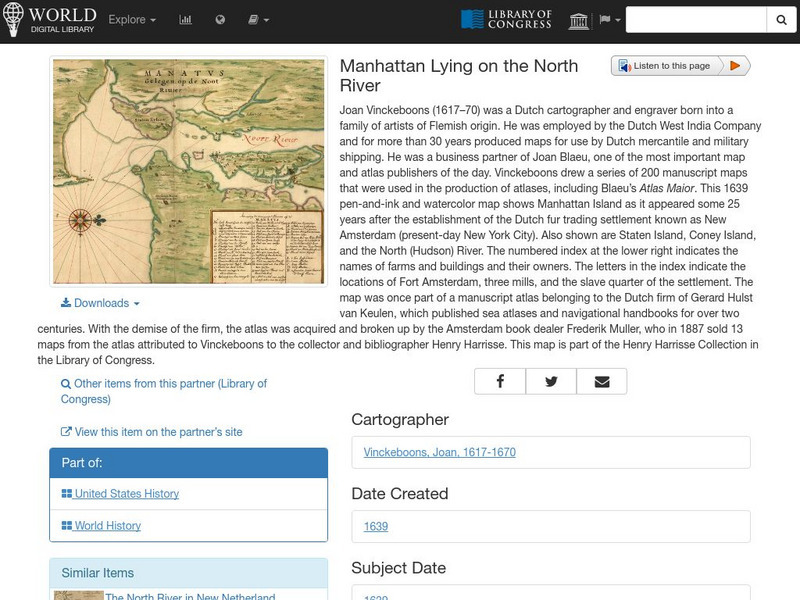
World Digital Library: Manhattan Lying on the North River
A historic map of Manhattan created by cartographer Joan Vinckeboons around 1639 for the Dutch West India Company. A feature on the page allows the visitor to listen to and read the accompanying descriptive text in seven different...
US Army Center
U.s. Army Center of Military History: James Wilkinson
Brief description on American General James Wilkinson (1757-1825) is offered from the United States Army Center of Military History mentioning his service in the War of 1812.
Independence Hall Association
U.s. History: Social Change and National Development
As the United States grew geographically, along with developing a national identity, there was also an increasing identity with regionalism. Read about the various regions, along with the changes in economics and religion in this period...
Then Again
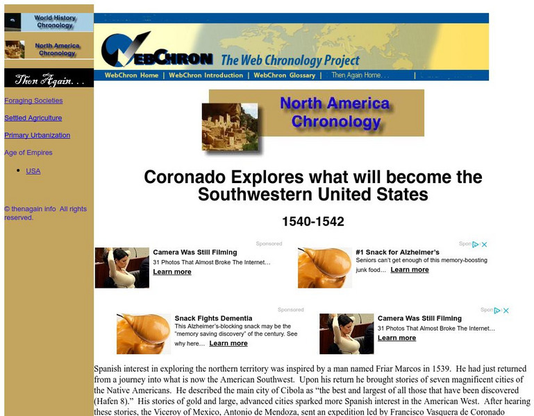
Then Again: Web Chron: Coronado Explores the Southwestern United States
This page details Coronado's expedition, the discovery of the Grand Canyon and the search for Quivira. Click on the map for a closer look at Coronado's Expedition.
ClassFlow
Class Flow: Major Topographical Features of the u.s.
[Free Registration/Login Required] In this flipchart students will locate major topographical features of the United States of America. Website links covering Identify rivers, mountain ranges, the equator, prime meridian, and lines of...
Other popular searches
- Major United States Rivers
- United States Rivers Map
- Maps, United States Rivers
- Maps United States Rivers


