Curated OER
Etc: Maps Etc: Bull Run, Battle of the Forenoon, June 21, 1861
A map of the morning operations of the First Battle of Bull Run or First Battle of Manassas, the initial major land battle of the American Civil War, July 21, 1861. The map shows Bull Run Creek, Young's Branch, the Stone Bridge and Stone...
Curated OER
Etc: Maps Etc: Bull Run, Battle of the Afternoon, July 21, 1861
A map of the afternoon operations of the First Battle of Bull Run or First Battle of Manassas, the initial major land battle of the American Civil War, July 21, 1861. The map shows Bull Run Creek, Young's Branch, the Stone Bridge and...
Curated OER
Etc: Battles of Wilson's Creek and Pea Ridge, 1861 1862
A map of the portions of Missouri and Arkansas showing the battle sites of Wilson's Creek or Battle of Oak Hills (Missouri, August 10, 1861) and Pea Ridge or Battle of Elkhorn Tavern (Arkansas, March 7-8, 1862) fought in the American...
Curated OER
Educational Technology Clearinghouse: Maps Etc: The Seven Days Battle, 1862
A map of the area around Richmond, Virginia showing the sites of the Seven Days Battle, which took place June 26-July 2, 1862 during the American Civil War. The map shows the roads and railways to the east of Richmond, and the battle...
Curated OER
Etc: Maps Etc: The Battle of Williamsburg, May 5, 1862
A map of the area to the southeast of Williamsburg, Virginia, showing the Battle of Williamsburg or Battle of Fort Magruder, fought on May 5, 1862 during the Peninsula Campaign of the American Civil War.
Curated OER
Etc: Maps Etc: Battle of Iuka, September 19, 1862
A plan of the Battle of Iuka, Mississippi, on September 19, 1862, during the Iuka-Corinth Campaign of the American Civil War. The map shows the roads and railroad, the positions of Union General Rosecrans, and the positions and line of...
Curated OER
Educational Technology Clearinghouse: Maps Etc: Battle of Chickamauga, 1863
A plan of the battle of Chickamauga (September 19-20, 1863) during the American Civil War.
Curated OER
Educational Technology Clearinghouse: Maps Etc: The War in the West, 1861 1865
A map of the western seat of war during the American Civil War, showing cities, forts, rivers, and significant battle sites.
Curated OER
Etc: Theatre of War in the East, 1861 1865
A map of the eastern seat of war during the American Civil War, showing cities, railroads, mountains and terrain, forts, rivers, and significant battle sites.
Curated OER
Educational Technology Clearinghouse: Maps Etc: The War in the East, 1863
A map showing the major battle sites in the east in 1862-1863 during the American Civil War. The map shows major cities, rivers, and the sites of Fredericksburg, Chancellorsville, Wilderness, Spottsylvania, Mount Cedar, Mechanicsville,...
Curated OER
Educational Technology Clearinghouse: Maps Etc: The War in the East, 1861 1865
A map showing the area of the American Civil War in the east, including the major battle sites of Bulls Run Creek, Manassas Junction, Fredericksburg, Chancellorsville, Wilderness, Spottsylvania, Mechanicsville, Cold Harbor, Malvern Hill,...
Curated OER
Etc: Theatre of War in the United States, 1861 1865
A map showing the extent of the Confederate territories east of the Mississippi River during the American Civil War (1861-1865). The map shows state lines and capitals, major cities, forts, battle sites, and rivers in the region. The map...
Khan Academy
Khan Academy: African American Veterans and the Civil Rights Movement
Many African American veterans joined the Civil Rights Movement after World War II when they found themselves facing continued discrimination at home. Learn about some of the veterans who were prominent activists.
Curated OER
Etc: Maps Etc: Mc Clellan's Campaign Against Richmond, 1862
A map of the region around Richmond, Virginia, showing the Civil War battle sites and operations of Union General McClellan during the Peninsula Campaign in 1862.
Curated OER
National Park Service: Richmond National Battlefield: Cold Harbor
A chronological description of the events of the Battle of Cold Harbor. There is a link to a descriptive tour and map of the battle field.
Curated OER
National Park Service: Stones River National Battlefield
While the Stones River Campaign did not clearly define a winner, the battles which took place on this national battlefield marked a much needed boost to the Union Army in their efforts to begin implementing the Emancipation Proclamation....
Curated OER
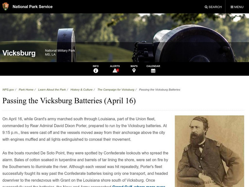
National Park Service: Vicksburg Natl Military Park: Passing the Vicksburg Batteries
Read how Rear Admiral David Dixon Porter moved his fleet past the Vicksburg batteries and lost only one transport.
Independence Hall Association
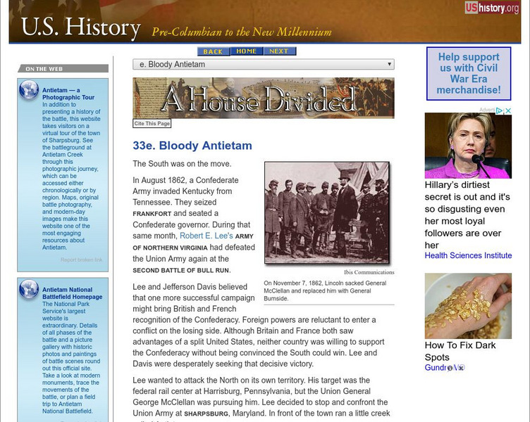
U.s. History: Bloody Antietam
Read an account of the battle of Antietam and the tactical mistakes of the tentative General George McClellan. The bloodiest battle of the Civil War brought about many changes.
Curated OER
Educational Technology Clearinghouse: Maps Etc: Battle of Pea Ridge, March 1862
A map of operations for the Battle of Pea Ridge, also known as the battle of Elk Horn, Arkansas. The battle took place March 5-8, 1862. The map shows Bentonville and Leetown, roads, terrain, and the Confederate and Union positions during...
Curated OER
Educational Technology Clearinghouse: Maps Etc: The Battle of Shiloh, April 1862
A map of the area around Shiloh and Pittsburg Landing in Tennessee, showing the sites of the Battle of Shiloh, also known as the Battle of Pittsburg Landing. The battle took place on April 6-7, 1862. The map shows the Tennessee River,...
Curated OER
Etc: Maps Etc: The First Battle of Bull Run, 1861
A map showing the battle site of the First Battle of Bull Run or Battle of Manassas, and its proximity to Washington DC. The map shows the railroads in the area, Manassas Junction, Centerville, Bull Run Creek, the Warrenton Turnpike,...
Curated OER
Etc: Maps Etc: The First Battle of Bull Run, July 21, 1861
A map of the area around Manassas and New Market, Virginia, showing the operations of the First Battle of Bull Run (also known as the First Battle of Manassas) on July 21, 1861. The map shows Warrenton Turnpike, Bull Run Creek, roads and...
Curated OER
Etc: Maps Etc: Battle of Perryville, October 8, 1862
A plan of the Battle of Perryville (Battle of Chaplin Hills), Kentucky, on October 8, 1862, at the end of the Confederate Heartland Offensive. The map shows the location of Perryville, the Chaplin River, Mackville Pike, Springfield Pike,...
Curated OER
Educational Technology Clearinghouse: Maps Etc: Battle of Gettysburg, 1863
A plan of the Battle of Gettysburg showing the positions of the Union and Confederate armies, roads, and terrain features.


