Curated OER
Etc: Territorial Development of the United States, 1783 1867
A map of the United States showing the growth of the nation from 1783-1867. The map is color-coded to show the thirteen original states, the territory acquired by conquest during the revolution and the Treaty of 1783, the Louisiana...
Curated OER
Etc: Texas Controversy and Territorial Adjustment, 1836 1850
A map of the western United States between 1836 and 1850 showing the Texas controversy and territorial adjustments at the time. The map is color-coded to show the unorganized territory of the Louisiana Purchase and the boundary line with...
Curated OER
Etc: Acquisition of Territory by the United States, 1783 1917
A map from 1922 of the United States showing the acquisition of territory from 1783 to the purchase of the Dutch West Indies (Virgin Islands) in 1917. This map is color-coded to show each of the acquisitions with map notations giving...
Curated OER
Etc: Maps Etc: The United States After the Louisiana Purchase, 1803
A base map showing the extent of the United States after the purchase of the Louisiana territory from France in 1803.
Curated OER
Etc: Maps Etc: The United States Before the Louisiana Purchase, 1800
A base map showing the extent of the United States prior to the purchase of the Louisiana from France in 1803.
Curated OER
Etc: Mountain Passes & Overland Routes in the West, 1841 1850
A map of the Pacific region of the United States west of the Rocky Mountains in 1841-1850. The map shows the Old Spanish Trail from Los Angeles to Santa Fe, the Pioneer Route from the Platte River to San Francisco, the routes of Fremont...
Curated OER
Etc: Development of Amer Interests in the Pacific, 1791 1903
A map of the United States and Pacific Ocean showing the development of American interests in the Pacific from the early exploration of Oregon Country in 1791 to the formal annexation of the Midway Islands and the Panama Strip in 1903....
Curated OER
Etc: Maps Etc: Westward March of the Great Pioneers and Explorers, 1911
A map of the United States showing the historic sea and land routes taken by famous explorers across North America, from the coastal explorations of Cabot and Corte Real in the Northeast, Ponce de Leon and Alvarez in Florida and the Gulf...
Curated OER
Etc: Santa Fe and Oregon Trails to the Pacific Coast, 1840 1850
A map of the western United States in 1840-1850 showing the Oregon Trail and Santa Fe, the two principal overland routes from Independence, Missouri, to the western territories and the Pacific. The map shows the territory boundaries,...
Curated OER
Possessions of the United States Not on the American Continent, 1921
The " possessions of the United States not on the American continent.
Curated OER
Etc: Settlement Along Upper Mississippi and Around Great Lakes, 1840 1850
Showing area along the Upper Mississippi and around the Great Lakes.
Independence Hall Association
U.s. History: The Missouri Compromise
A good look at the issues debated about the admission of new states, particularly those that would be made from the Louisiana Purchase. Read about why the issue of allowing slavery in the new states was such a hard decision for Congress....
Alabama Learning Exchange
Alex: Transportation to the Western Frontier
There were several modes of transportation for early settlers to use when they moved to the west. Students will research and document four modes of transportation using the Internet and print resources in the library.
Alabama Learning Exchange
Alex: Spice Up the Nineteenth Century!
Learners will make interactive outlines using the Internet of the reform movements, literature, trails, religion or technology of the early nineteenth century.
PBS
Pbs Learning Media: Martin Luther King Jr.: Civil Rights Leader Video
In the second half of the 20th century, racial tensions rose in the US as African Americans began to challenge unjust laws that supported discrimination and segregation. This movement found its leader in the patient and inspiring...
Curated OER
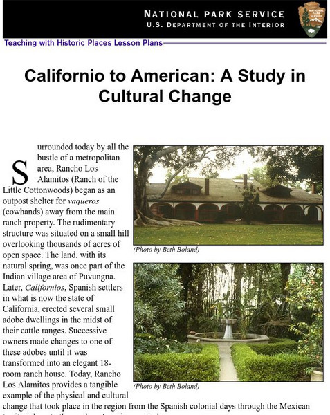
National Park Service: Californio to American: A Study in Cultural Change
This site has a lesson about the ranching industry, creation of California towns and the changes over time. Contains information, inquiry question, historical context, maps, readings, and images.
Curated OER
National Park Service: The Significance of the Dred Scott Trial
In this article from "The Old Courthouse" by Donald Dosch the facts of the Dred Scott decision are laid out. Read why the outcome of the case fanned the embers of the coming Civil War.
Digital Public Library of America
Dpla: The Panic of 1837
This set uses primary sources to explore the financial practices that contributed to the Panic of 1837 and the impact of the crisis on America's politics, economy, and people.
Curated OER
Us Troops Were Rushed to Western Europe in the 1950s to Deter Soviet Expansion
A fantastic history of NATO. From its inception after WWII to its call to action during the Kosovo crisis, the BBC does a great job of giving readers a well-rounded look at the institution. Includes a map with all member countries as...
Independence Hall Association
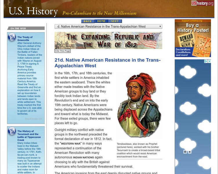
U.s. History: Native Resistance in the Trans Appalachian West
This site gives a brief look at the Indian alliance built by Tecumseh to confront the U.S. military which wanted to protect the settlers moving west into Indian territory.
Independence Hall Association
U.s. History: Exploration: Lewis and Clark
A very brief overview of the Lewis and Clark expedition, focusing on the beginning and western terminus of the trip.
Independence Hall Association
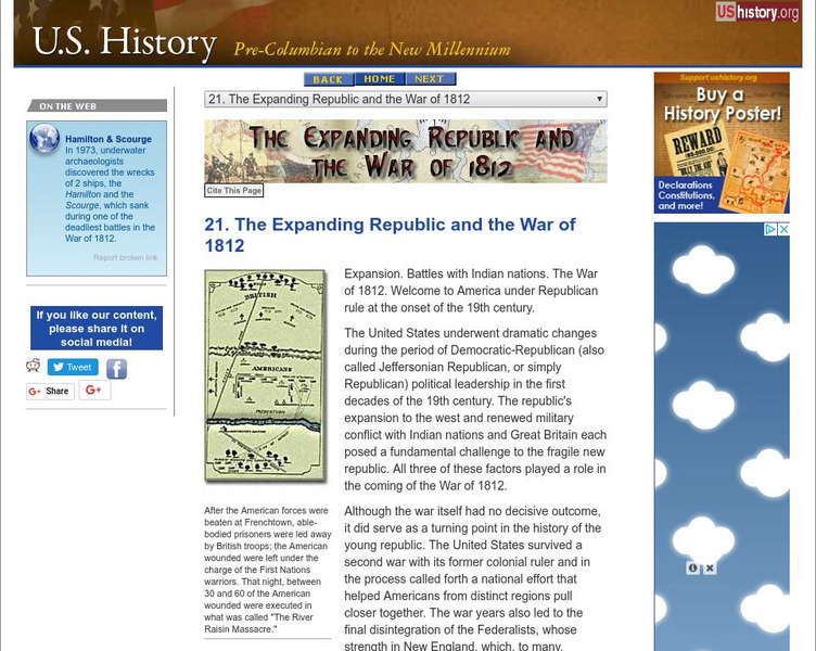
U.s. History: The Expanding Republic and the War of 1812
A brief overview of the Jeffersonian Era up through the War of 1812.
Siteseen
Siteseen: American Historama: William Henry Harrison
Facts, biography, and accomplishments of the life of William Henry Harrison and summaries of important events during his presidency.


