Mathematics Assessment Project
Calculating Arcs and Areas of Sectors of Circles
Going around in circles trying to find a resource on sectors of circles? Here is an activity where pupils first complete an assessment task to determine the areas and perimeters of sectors of circles. They then participate in an activity...
Curated OER
Find a Cave
Students locate their own communites and the nearest caves on a United States map. They calculate the distance to the nearest cave using rough scale.
Curated OER
Welina's World
Students living in Hawaii draw a picture of themselves in their neighborhood. They draw their neighborhood in relation to their district and then in relation to the island they are from. They compare their pictures to their classmates'...
Curated OER
Cruisin' the Counties: Learning Counties and Major Roads in Arizona
Students examine Arizona counties and use the themes of location and movement to develop an Arizona map.
Curated OER
Investigation - The Local Bagel Shop
Sixth graders investigate unit pricing to find which cup of coffee is a better buy. They use ratio and proportions to solve problems involving a change of scale in drawings, maps, recipes, etc. Students determine the unit cost of items...
Curated OER
Micro-Climate
Atmosphere aces investigate the microclimates that exist within a larger area. They use a thermometer to record the varying temperatures and identify the microclimates on a map that they have drawn. This exercise helps them to understand...
Curated OER
Volcano Contour Models Activity and Tracing the Highs and Lows in San Francisco
Students investigate how to draw topographic contours and read topographic maps.They examine the topography of San Francisco and contrast the elevation of different points within San Francisco.
Curated OER
Where in the United States Are We?
Students spend the lesson identifying the location of the fifty states and the capitals. Using a software program, they retrace te outline of each state numerous times. To end the lesson, they write a story about a state and city of...
Curated OER
Iraq, Where's That?
Students identify the Middle Eastern countries on the map and the oil-producing countries of OPEC in the region. They examine whether the presence of important producing oil fields qualifies as a characteristic of this region.
Curated OER
Treasure Hunters
Young scholars design an on campus treasure hunt to find various architectural vocabulary words which they then create definitions for on the blog page on the Environmental Design website.
Curated OER
Music to Learn Countries and Capitals Around the World: Learning Countries and Capitals in Asia
Students use musicto explore the countries and capitals of Asia.
Curated OER
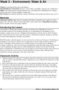
Environment: Water & Air
The introduction to the lesson mentions a sailor's limited capacity to store drinking water on his ship. Pupils then set up an overnight experiment to remove freshwater from salt water by distillation. There is a math and map activity to...
Curated OER
Where is ? ? ? ?
Students explain and explain the concept of a grid system. They define absolute and relative location and develop an imaginary city on graph paper using a grid system.
Curated OER
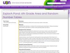
ExplorA-Pond: 6th Grade Area and Random Number Tables
Sixth graders estimate surface area of a pond using a random number table.
Curated OER
Turtle Legends
Students listen to the legend, Thirteen Moons on Turtle's Back. They create a new moon for the calendar based on this natural part of everyday life in the seasons. They illustrate it under the story using water color paints.
Curated OER
Classroom Supplies
Challenge young mathematicians to buy classroom supplies by staying within the means of a $1,000 budget. The mathematical activity provides learners with the opportunity to decide what items from the supply list would benefit a class of...
Curated OER
Analyzing the Relationship between Snowpack and River Flow
Young scholars use the Internet to research current and past snowpack levels and river gauging station readings. They determine the relationship between snowpack and river flow. They predict future river flow.
Curated OER
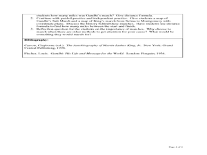
The Distance Formula and Marching Nonviolently for Social Change
Students explore the distance formula using real world data from nonviolent marches for social change. In this secondary mathematics lesson, students investigate the marches of Gandhi and King using maps overlaid with a coordinate...
Curated OER
African Country Report
Sixth graders describe the relationship between the people of Africa and their environment. They examine the climate, economy and inhabitants of this land. Using maps graphic organizers and writing a report, 6th graders demonstrate how...
Curated OER
Earthquakes and Seismic Waves
Students explore earthquakes and seismic waves. They investigate how energy is released in the subsurface to create seismic waves. Students explore the inner workings of a seismograph and how they are used to determine the location of an...
Curated OER
Invasives and Marsh Birds
High schoolers are taught that invasive plant removal can have a variety of impacts. They are shown this by using graphs. Students view maps of vegetation change on Iona Island. They discuss implications of changes on marsh birds using...
Curated OER
Another Side of Paradise
Young scholars write a sequel to a book read as a class. In this culminating activity, students write a sequel to the novel This Side of Paradise by Stephen Layne. Young scholars use the epilogue to guide their writing.
Curated OER
Top to Bottom
Marine science classes read about the 2005 North Atlantic Stepping Stones Expedition and review climate change. They use maps to locate the seamount chains. In collaborative groups, they research how climate change may be altering the...


