Curated OER
A Contouring We Go
Students examine the built environment and infrastructures of their community by constructing contour equipment, using the equipment, and comparing their results to current topographical maps of the same area
Curated OER
Trash Talkin
Students investigate recycling at several scales, including local, state, national and global. They become aware of recycling, re-use, reduce efforts and policies. Students read the article Where Does Your Garbage Go. They look up where...
Curated OER
Build a Model Watershed
Collaborative earth science groups create a working model of a watershed. Once it has been developed, you come along and introduce a change in land use, impacting the quality of water throughout their watershed. Model making is an...
Curated OER
Climate Change in My City
Students investigate the climate changes occurring locally, regionally and globally over the last one hundred years. They brainstorm and predict whether the current year's weather was warmer or colder than last year then check the...
EngageNY
Getting a Handle on New Transformations 2
Use 2x2 matrices to move along a line. The second day of a two-day lesson is the 28th installment in a 32-part unit. Pupils work together to create and solve systems of equations that will map a transformation to a given point. The...
NOAA
Sediments
Calcareous ooze ... what an interesting name! The 15th installment of a 23-part NOAA Enrichment in Marine sciences and Oceanography (NEMO) program focuses on sediments found on the ocean floor. After viewing the slideshow lecture,...
Curated OER
A Comparison Study of Water Vapor Data to Precipitation over North America
Students use NASA satellite data to compare water vapor over the United States. In this data analysis lesson students use an Excel spreadsheet to map their data.
NOAA
To Explore Strange New Worlds
It's time to boldly go where your class has not gone before! The introductory lesson in a five-part series takes young oceanographers aboard the NOAA Ship Okeanos to begin a study of ocean exploration. The lesson includes a comparison of...
Curated OER
India and Pakistan: Rivals from Birth
Seventh graders, after being divided into two groups, are assigned either Pakistan or India. They conduct research using the Internet, reference books, and magazines. The class compares and contrasts the two countries to find sources of...
Curated OER
Greeks Around the World: A Case Study on Greek Diaspora
Students gain an understanding of the concept of Diaspora relating to Greeks. They use guided discovery to apply the geographic inquiry model to an examination of the reasons for Greek Diaspora.
Curated OER
Enough To Make Your Head Spin
Students examine body language in the United States and Bulgaria. They also discover other forms of communication. They also examine a map of Bulgaria.
Curated OER
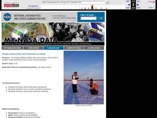
Trends of Snow Cover and Temperature in Alaska
Students gather historical snow cover and temperature data from the MY NASA DATA Web site. They compare this data to data gathered using ground measurements from the ALISON Web site for Shageluk Lake. They graph both sets of data and...
Curated OER
Scale Basketball
Students discuss scale diagrams and maps as well as the use of spreadsheets to find the best scale to use in a model before practicing scale and ratio problems on their own.
Curated OER
New Perspectives
Students examine maps that are designed to give different perspectives. They create mental maps that illustrate their own perspectives and those of people from other parts of the world.
Curated OER
The Mathematics of Space and Place
Students investigate the measurements and geometry of the school grounds. They conduct inquiry while measuring the campus and some of the city blocks. Then students draw a map to scale and categorize property types using a pie graph.
Curated OER
Planet Earth
Pupils explore and analyze data from different maps in order to explain geographic diversity among the continents. Student groups research continents' physical features and examine how they contribute to quality of life for inhabitants.
Curated OER
Measurement and the Illampi Mound Colony
Young scholars comprehend the basic units of measurement, scale, plotting, and basic grids. Students practice their estimation
and measuring skills and will demonstrate their ability to work well in groups.
Curated OER
The Tale of Scale
Eighth graders, using a range of data, produce three bar graphs for various scales along the y-axis.
Curated OER
The Battle of Brandywine
Students explore the Battle of Brandywine, how to analyze maps, and construct a model of a battlefield.
Curated OER
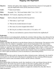
Mapping With MapPoint
The class is engaged through a discussion of mapping. They determine what they believe makes a good map and what the essential elements of a map are. Students work independently to complete a worksheet on mapping. They follow clear...
Curated OER
Off to College
Students jog to where their classroom teacher went to college using a scale that best fits their situation. They log miles on a chart until students reach their destination. Students use the colleges mascot as the graph indicator as to...
Curated OER
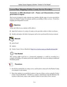
Mapping Fairfax County Service Providers
Middle schoolers brainstorm a list of services governments should have available to its citizens. Using the internet, they locate as many of these services as possible and compile a class list. They also analyze specific programs to...
Curated OER
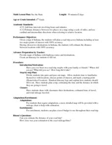
See the State
Fourth graders are given a map of Indiana and have to plan a road trip including at least two major points of interest with 100% accuracy. The students estimate the distance between their two chosen locations with 100% accuracy.
Curated OER
A Thoreau Look at Our Environment
Sixth graders write journal entries o school site at least once during each season, including sketched and written observations of present environment. They can use sample topographical maps and student's own maps. Students can use...
Other popular searches
- Using Map Scale Distance
- Proportions Using Map Scale
- Using Scale on Maps
- Maps Using Scale
- Using a Scale Map


