Curated OER
Location, Location, Location: Using a Grid to Determine Context
Seventh graders are introduced to making inferences about artifacts. Using a grid system, they locate the artifacts and determine where they originated from. They use this information to make conclusions about the way people lived...
Curated OER
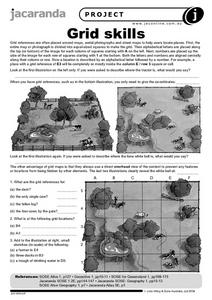
Grid Skills
In this geography worksheet, learners use grid references on a map to locate places in the pictures given. They also identify another advantage of using a grid map, which they have an overhead view of the content to prevent any features...
Curated OER
Latitude and Longitude
Students demonstrate how to locate places on a map using a grid. In this map skills instructional activity, students are introduced to latitude and longitude lines. Students define these terms and view a large map of a state. Students...
Curated OER
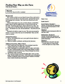
Finding Your Way on the Farm
Third graders make a grid map. In this directionality lesson plan, 3rd graders review how to use a grid to locate objects or places on a map. Students draw a grid map of the classroom and locate seating assignments. Students create a...
Curated OER
Read a Map ... It's a Snap!
Students are introduced to map and globe skills. They use grids and are able to construct their own simple maps of familiar places. Students are able to define a map, globe, and symbol and use the direction words north, south, east,...
Curated OER
MAP GRIDS, CLIMATES AND HEMISPHERES
Students compare/contrast the grid and latitude/longitude system used on a globe. They describe the areas which are considered to be a tropical, temperate, and polar, based on knowledge of climates.
Curated OER
Where is ? ? ? ?
Students explain and explain the concept of a grid system. They define absolute and relative location and develop an imaginary city on graph paper using a grid system.
Curated OER
Combining Map and Compass
Learners practice using the map and compass to find a location. In this geography lesson series, students identify basic requirements needed when traveling in the wilderness. They plan a healthy menu for a backpacking trip.
CK-12 Foundation
Position and Displacement Simulation
How can we use vectors to determine a person's position when traveling? The simulation offers guided practice at determining the coordinates and the distance between coordinates on a map grid. It reinforces the importance of positive...
Curated OER
Understanding Latitude and Longitude
Teaching learners about latitude and longitude can get a little complicated. Present the concept by first representing it as a graph. Just like finding a location on a graph using the x and y-axis, learners will be able to locate items...
Curated OER
Mapping the News
Students explore cartography. In this map skills and map making lesson, Students work in groups to create wall size world maps including legends, compass roses, latitude and longitude, and physical features. Students collect...
Curated OER
Locating Places - Making a Map Grid
Students learn how to use a letter and number map grid. In this map grid lesson, students look at a landscape map and describe how to locate the airport. They compare the descriptions of different students to determine how they are the...
Curated OER
Electronic Mapping
Young scholars identify countries, oceans, and capitals by building an electronic map.
Curated OER
Hide and Seek with Bones: A Mapping and Scaling Comparison
Learners examine and simulate how paleontologists map objects. They hide and find objects using a grid to map the objects' placements.
Curated OER
Me on the Map Lesson 1
Students use maps, globes, geographic information systems and other
sources of information to analyze the nature of places at a variety of scales. They identify on a map and determine the population
of the city, county, state, country...
Curated OER
Topographic Mapping Skills
In this geography worksheet, students read an excerpt about topographic maps and why they are useful for various jobs. They also respond to eleven questions that follow related to the excerpt and locating specific map points on the map...
Curated OER
Locating IIT Using Ordered Pairs
Young scholars investigate ordered pairs. In this math lesson, students plot and locate ordered pairs in a coordinate plane and are exposed to how to read and create a map.
Curated OER
Geography and Culture of China
Take out a map, a paper, a ruler, and those coveted colored pencils for a lesson on Chinese culture and geography. This is a multifaceted approach to basic geography skills that incorporate story telling, class discussion, primary source...
Radford University
The Roanoke Adventure!
Travel about town. Pupils work in pairs to find the distances between landmarks with a map. The teams determine how far to travel on the streets and the length between the landmarks with the distance formula and compare the two. Learners...
Curated OER
MAP Practice
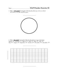
In this geometry worksheet, students create circle, line and bar graphs using different comparisons of events. There are 24 questions with an answer key.
Curated OER
Some Things You Need to Know to Read a Map
Pupils study things the you need to know to read a map and explain location.
K-State Research and Extensions
Water
How are maps like fish? They both have scales. The chapter includes six different activities at three different levels. Scholars complete activities using natural resources, learn how to read a map, see how to make a compass rosette,...
Curated OER
Constellation Mapping
Students plot constellations on a grid map. They discuss the various ways early explorers planned their travels. Students identify and recognize major constellations. They color their maps and take them home to try to find various...


