Curated OER
Travels Of A Florida Migrant Child
Young scholars discuss the story Amelia's Road by Vickie Leigh Krudwig in this cross-curricular Math lesson for the middle-level classroom. Elements of the social sciences are addressed. Cooperative learning groups are suggested for...
Curated OER
Alaska the Elephant
Students explore an Internet website, locating and matching the shape of an elephant's head to a state in the U.S. They complete an Alaska worksheet, identifying other geographical locations surrounding Alaska.
Curated OER
On the Road Again": Moving People, Products, and Ideas
In this lesson students learn how to identify modes of transportation and communication for moving people, products, and ideas from place to place. Students also study the advantages and disadvantages of different modes of...
Curated OER
Town Planning
Seventh graders consider factors in making road transport planning directions. They write a short speech for a presentation at an inquiry. They debate and analyze the information presented in the debate.
Curated OER
New Pen at the Zoo
Students create two drawings for a new animal pen design at the zoo. They must draw the ideas keeping the amount of material available in mind. They compare and contrast their two designs and write how they are similar in perimeter and...
TeachEngineering
Teach Engineering: Scaling the Map
Students learn how to determine map distances and areas using the map scale. They get a feel for how much an area represents on the map in relation to the size they are suggesting for their underground caverns to shelter the Alabraska...
CK-12 Foundation
Ck 12: Algebra: Scale and Indirect Measurement Applications
[Free Registration/Login may be required to access all resource tools.] Use map scales and proportions to solve for unknown distances.
PBS
Pbs Learning Media: Aiming for the Basketball Hall of Fame
In this video segment from TV 411, two Atlanta Hawks players plan a driving route to reach the Basketball Hall of Fame. They use map scales to estimate their travel distances.
E-learning for Kids
E Learning for Kids: Math: Tea Store: Position on a Map
Help Gina locate items in the tea store using coordinates, a compass, and a ruler in this series of leveled exercises.
Shodor Education Foundation
Shodor Interactivate: Image Tool
Measure angles, distances, and areas in several different images (choices include maps, aerial photos, and others). A scale feature allows the user to set the scale used for measuring distances and areas.
Illustrative Mathematics
Illustrative Mathematics: 7.g Map Distance
This lesson plan has students solve problems using scale drawings on a map.
TeachEngineering
Teach Engineering: Hurricane! Saving Lives With Reasoning & Computer Science
Students develop and apply the distance formula and an x-y coordinate plane on a hurricane tracking map, and then use a map scale to determine distance in miles. Then, using MATLAB computer science programming language, students help...
PBS
Pbs Mathline: Blazing the Trail Lesson Plan [Pdf]
Using a scale, determine the distance between landmarks on a map. Printable lesson.
TeachEngineering
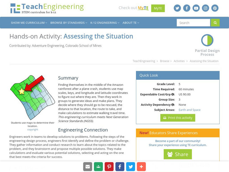
Teach Engineering: Assessing the Situation
In this activity, students will use the scale, the key, and longitude and latitude on a map to determine where they have crashed. They will then use the map scale to determine the distance to the nearest city and how long it will take...


![Pbs Mathline: Blazing the Trail Lesson Plan [Pdf] Lesson Plan Pbs Mathline: Blazing the Trail Lesson Plan [Pdf] Lesson Plan](https://content.lessonplanet.com/knovation/original/114252-32f99d9ad7a7f3ab46350ac7210f4a68.jpg?1661771099)
