Curated OER
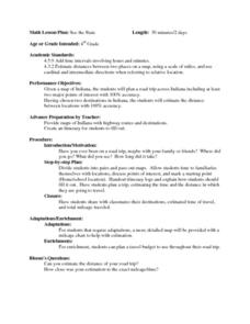
See the State
Fourth graders are given a map of Indiana and have to plan a road trip including at least two major points of interest with 100% accuracy. The students estimate the distance between their two chosen locations with 100% accuracy.
Curated OER
Planet Earth
Learners explore and analyze data from different maps in order to explain geographic diversity among the continents. Student groups research continents' physical features and examine how they contribute to quality of life for inhabitants.
Curated OER
Mapping The Way With Lewis & Clark
Fourth graders analyze and compare maps used on the expedition of Lewis and Clark. Students write reports about the geography of the land. They answer questions about Lewis & Clark.
Delegation of the European Union to the United States
Cultural Identity
How does cultural diversity impact political identity? That is the question researchers face as they continue their examination of the European Union and the programs it has developed in its attempt to achieve unity in diversity. To gain...
Curated OER
Amelia the Pigeon: As a Pigeon Flies
Students follow Amelia's adventure on a satellite image. They use measuring and math skills to determine the distance she traveled.
Curated OER
The Mekong River
Junior geographers explore the region through which the Mekong flows, its pathway, the landscape, how people depend on the Mekong, and future uncertainties. They apply the five themes of geography to examine the region. They create a...
Curated OER
How Far And How Long Will It Take
Students use a ruler to determine length and then fit the unit to a scale in miles. This unit will also give a geological awareness of altitude and the difference it makes in travel time. The travel time with Mapquest will obviously be...
Curated OER
Mapping of the Earth's Past
Students create a scale model time linen of the Earth's 4.6 billion year history. They calculate a scale that can fit on a very long register tape then label each geologic era. They use text books to annotate each era with major geologic...
Curated OER
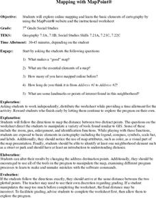
Mapping With MapPoint
The class is engaged through a discussion of mapping. They determine what they believe makes a good map and what the essential elements of a map are. Students work independently to complete a worksheet on mapping. They follow clear...
Curated OER
Old World and New World - Why Contact Took So Long
Learners use a globe to determine why contact between the old world and the new world took a long time. In this map skills lesson, students analyze routes between regions to determine why it took so long for the old world and the new...
Curated OER
Globe Lesson 4 - The Compass
Learners study compass' and their use in navigation. In this compass lesson, students use a compass and a globe to answer the questions about navigation.
Curated OER
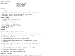
Mission: Possible
Students explore the concept of scale. In this scale lesson, students are given directions scaled in inches and students must convert them to feet. Students take a section of a map and create a bigger scaled model of the section.
Curated OER
U.S. Geography: The Northeast
Young scholars investigate U.S. Geography by creating a map in class. In this natural resource lesson, students create a map of the United States and research the Northeast based on their resources and recyclable materials. Young...
Curated OER
Ridgerunner
Students jog at the beginning of the class while learning about the Appalachian Trail. They integrate math into the lesson by adding up how many miles they have run, and comparing it to distances on a real trail map.
Curated OER
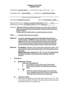
Compass Rose: Dance and Quilt
Fourth graders identify the cardinal directions by listening to a song entitled, "Stand," and by reviewing the lyrics to that song. They notice the cardinal directions that are posted around the classroom. They perform the motions as...
Curated OER
To Walk the Sky Path
Fifth graders use maps of Florida. They locate places from a list on their map. Students use the places mentioned in the book, "To Walk the Sky Path," and locate them on the map. Students should have labeled a minimum of 10 places, and...
Curated OER
Mapping A Stream
Students participate in mapping an actual waterway. They include reach lengths, transects, compass reading, and scale determinations. They include windfalls, plant cover, types of streambed composition, and landmarks such as trees and...
Curated OER
Modeling Geologic Time
Students design, construct and interpret a model of geologic time and investigate change through geologic time.
Curated OER
Civil War Naval Strategy
Pupils apply critical thinking skills to war strategy. In this Civil War map lesson, students use their knowledge of latitude and longitude as well as scale to respond to questions regarding Civil War battle strategies.
Curated OER
Where is ? ? ? ?
Students explain and explain the concept of a grid system. They define absolute and relative location and develop an imaginary city on graph paper using a grid system.
Curated OER
Volcano Contour Models Activity and Tracing the Highs and Lows in San Francisco
Students investigate how to draw topographic contours and read topographic maps.They examine the topography of San Francisco and contrast the elevation of different points within San Francisco.
Curated OER
Globe Lesson 17 - Alaska and Hawaii - Grade 4-5
Students develop their globe skills. In this geography skills lesson, students explore the area added to the United States when the Alaskan territory was purchased from Russia.
Curated OER
Big Apple, Here We Come
Students role play the role of immigrants coming to America for the first time. They complete an imaginary trip with their family and must rent a car and make seven stops along the way. They calculate distances and use maps to...
Curated OER
Let's Go to Nagano!
Students, individually and in groups, utilize Internet sites to access maps, scales, and information to assist them in calculating distances. They research modes of travel from their homes to Nagano, Japan, and write a travel agenda for


