Curated OER
What Do We Do With A Dirty Bomb?
Students examine composition of dirty bomb and its possible effects on a city, and investigate simulations of such an event; students use computational and problem solving skills to assess damage and prepare report proposing solution to...
Curated OER
Properties of Materials - Part B
Students describe the history of materials. They use the kinetic (particle) theory to explain changes of state in matter and trace the flow of heat during changes of state and chemical changes.
Curated OER
Earth Forces
Students use geological techniques such as plate tectonics, mountain building, earthquakes, and volcanoes, in order to explain the earth.
Curated OER
Tornadoes
Students examine the characteristics of a tornado. They practice using new vocabulary and participate in a question and answer session. They use the internet to gather more specific information.
Curated OER
Scenario challenge
Fifth graders become familiar with the geography of New Hampshire and the importance of specific sites in history. For this New Hampshire lesson, 5th graders create a brochure including points of interest and showing distances...
Curated OER
That's My Line
Young scholars work together to brainstorm dialogues intended to persuade another person to engage in a sexual activity. They supply creative and persuasive refusals to these requests.
Curated OER
Marie Antoinette: The Tragic Queen
Students view a documentary on Marie Antoinette, who became a symbol of the reviled monarchy. After viewing, students discuss what they saw then create a family line of Marie Antoinette. They compare maps of Europe from her time to ours.
Curated OER
Marine Biology Field Trips
Students visit a Marine Biology study area 2-3 times and write a report after the last visit. They participate in the Marine Biology field trips working with lab partners. They complete data sheets to write their primitive environmental...
Curated OER
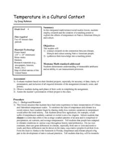
Temperature in a Cultural Context
Fourth graders investigate the effects of temperature on Native American lifestyle and culture. In small groups they conduct research on cultural practices showing a connection to the climate and create a poster displaying their...
Curated OER
Observing the Sky
Middle schoolers explore astronomy. In this astronomy instructional activity, students discuss the history of the movement of celestial bodies and then communicate with other middle schoolers regarding the movements that they observe in...
Curated OER
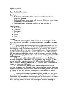
Math and Measurement
Learners use the correct tool to measure distances. In this geometry lesson, students use an odometer and ruler correctly as they study maps. They describe how far way something is.
Curated OER
Canada...a Visual Journey
Young scholars, in groups, research Canada's six natural regions (ecozones). They create a visual representation of each region on a large wall map of Canada and present it to the rest of the class.
Curated OER
Canada...A Visual Journey
Students work together to analyze the six natural regions of Canada. Using this information, they create a visual representation of each region on a large wall map and present it to the class. They must identify five key points of each...
Curated OER
A Bird's Eye View of our 50 States
Third graders focus on state birds as they learned absolute location (latitude/longitude) of each state, as well as their relative location (bordering states).
Curated OER
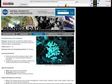
Coral Bleaching in the Caribbean
Students use authentic satellite data on the NASA website to determine when the sea surface temperature meets the criteria to induce coral bleaching.
Curated OER
Geography: Japan Project Online Lesson, Part 2
Students, in small groups, create and exchange map questions and share them with students in Japan. After examining the maps, they compare and contrast the two maps on the county Web Board. Students use a rubric to evaluate their answers.
Curated OER
Globe Lesson 4 - The Compass
Students study compass' and their use in navigation. In this compass instructional activity, students use a compass and a globe to answer the questions about navigation.
University of California
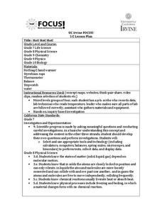
Hot! Hot! Hot!
Calories are not tiny creatures that sew your clothes tighter every night, but what are they? A science lesson, presented at multiple levels, has learners experiment with heat, heat transfer, and graph the function over time....
Curated OER
Country Mouse, City Mouse?
Students recognize the characteristics of a rural area. They analyze land use to determine whether the map is of a rural (country) area or an urban (city) area.
Curated OER
Soil Composition: Then and Now
Students identify the location of their school from a 1926 digitized Soil Sample map. Using remaining landforms, they determine the type of soil identified during that time, and compare it to the soil currently found near the school.
Curated OER
Estimating Distances
Middle schoolers investigate distance measurement. In this middle school mathematics lesson, students find the average length of their pace and use their pace to measure various unknown distances in feet and miles. Middle...
Curated OER
Development Issues in the Northern Suburbs
Students demonstrate the ability to obtain geographic information from a variety of print and electronic sources. They use a variety of maps and data to identify and locate geographical features of Minnesota and Anoka County. in...
Alabama Learning Exchange
Coral Reefs
Study explore coral reefs. In this coral reef lesson, 4th graders examine the physical structure of coral reefs. Students consider why coral reefs need to be protected and ways to protect them.
Curated OER
Field Trip - San Francisco Bay Model
Students investigate scale models while attending a field trip within the San Francisco Bay Area. In this oceanography lesson, students identify the currents of the Bay Area and discuss how they are created by different tides....


