101 Questions
Neptune
Examine an innovative approach to a large-scale model. Pupils across the state of Maine teamed up to create a model of the solar system that spans 40 miles. Put thinking skills to work within your classes as they make the calculations to...
Curated OER
Understanding "The Stans"
Students explore and locate "The Stans" in Central Asia to create, write and illustrate maps, graphs and charts to organize geographic information. They analyze the historical and physical characteristics of Central Asia via graphic...
Howard Hughes Medical Institute
Measuring Biodiversity in Gorongosa
Take your biology class' understanding of biodiversity to a whole new level! Ecology scholars use data to calculate three different diversity indices based on the organisms in the Gorongosa National Park. The four-part activity uses an...
Curated OER
Earth's Water
If the majority of our planet is covered with water, why do we need to bother conserving it? With a thorough and varied investigation into the location and types of water on the earth, learners will gain an understanding of why this...
Curated OER
What do Maps Show?
Eighth graders practice the skill of reading maps. In this geography instructional activity, 8th graders participate in a classroom lecture on how to read a map.
Science Matters
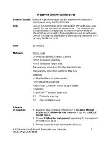
Wattsville and Mercalli Booklet
There has been an earthquake! Can you listen to the description of damage given by callers in order to determine the epicenter? The 11th of 20 lessons has pupils read a script of one emergency caller. The class records the information on...
K-State Research and Extensions
Water
How are maps like fish? They both have scales. The chapter includes six different activities at three different levels. Scholars complete activities using natural resources, learn how to read a map, see how to make a compass rosette,...
Howard Hughes Medical Institute
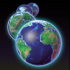
EarthViewer
Can you imagine Washington DC and London as close neighbors occupying the same continent? Learners will be fascinated as they step back in time and discover the evolution of the earth's continents and oceans from 4.5 billion...
Science 4 Inquiry
Edible Plate Tectonics
Many people think they can't observe plate tectonics, but thanks to GPS, we know that Australia moves at a rate of 2.7 inches per year, North America at 1 inches per year, and the Pacific plate at more than 3 inches per year! Scholars...
Curated OER
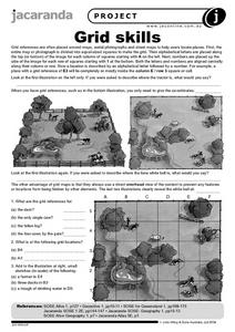
Grid Skills
In this geography activity, students use grid references on a map to locate places in the pictures given. They also identify another advantage of using a grid map, which they have an overhead view of the content to prevent any features...
Curated OER
Assessing and Making Maps
Students evaluate maps using the TODALSIGs basic map analysis system, explained on the worksheet. They create a map of Alaska using TODALSIGs. Students brainstorm the elements of maps.
Curated OER
Draw an Inch, Walk a Mile
Students work in small groups to solve the problems presented. The main project, mapping the classroom, use these discussions to collaborate in creating a tangible demonstration of their understanding.
Curated OER
Ratios And Scale
students investigate the concept of using a ratio in the work of construction and solve problems using real life applications. They read descriptions of how various types of construction professionals use ratios on the job. The lesson...
Curated OER
Introducing Topographic Maps: Guiding Students from Concrete Models to Graphic Representations
Students interpret topographic maps and infer human activity as it is influenced by the landscape.
Curated OER
Chalkboard Challenge: Social Studies Online
If used as an independent review, this presentation could be a quick way for students to study U.S. History facts. Since it only presents a few simple facts, it would not be adequate for a comprehensive review, but a teacher could...
Curated OER
Geography and Culture of China
Take out a map, a paper, a ruler, and those coveted colored pencils for a lesson on Chinese culture and geography. This is a multifaceted approach to basic geography skills that incorporate story telling, class discussion, primary source...
Curated OER
Current Earthquake Activity
Fifth graders record any earthquake activity throughout the school year on various maps. In groups, they identify a map locating the points given to them by their teacher. To end the instructional activity, they add the date, strength...
Curated OER
Our Solar System - Comparing Planetary Travel Distances
NASA presents a mini-unit on distances in our solar system. It incorporates scientific concepts of gravity, mass, density, and payload while your aspiring astronauts also employ mathematics skills. They calculate speed, they determine...
Mathematics Assessment Project
Photographs
Picture your pupils using this assessment task. Class members must first determine the measurements of smaller copies of photographs placed next to the original. They then determine the dimensions of the entire sheet of photographs.
Mathematics Assessment Project
Comparing Strategies for Proportion Problems
Having problems with proportions? Then solve these proportion problems with an exercise that asks learners to first individually solve a set of problems involving ratios and proportional reasoning. Groups then discuss provided...
Curated OER
BOLTSS Map
In this geography worksheet, students identify the six features always used on maps. They identify each of these features by the acronym BOLTSS. Students examine the Melbourne Cricket Ground shown and respond to the 4 questions that follow.
Curated OER
Introducing the Concept: Proportions
Students measure distances. In this proportions lesson, students use a map to find how far it is between different cities. Students use their knowledge of measurement, multiplication and fractions to find the distances.
Curated OER
Exploring the Hudson in 1609
Learners follow the journey of Henry Hudson down the river with his name. Using journal entries and maps, they learn about its exploration. They use maps to identify stages of the journey, and practice converting distances into miles.
Curated OER
Where Am I? Navigating Around the Globe
Third graders review spatial sense learned in grades one and two. They measure distances using map scales. They use atlases, and on-line sources to find geographical information.


