Curated OER
Geography - Mapping the Holocaust
Eighth graders map the important locations of the Holocaust. For this Holocaust lesson, 8th graders research the location of countries involved in the Holocaust as well as the location of concentration camps. Students mark the locations...
Curated OER
Coordinate Grid: Mapping Archeological Sites
Fourth graders discover how to apply the Cartesian coordinate system by figuring out the length and width of their school playground. They determine that pacing is an important tool for the initial mapping of a site. Students conduct a...
Curated OER
The Grand Excursion GPS Map
Eighth graders investigate the uses of a global positioning system. They create waypoints and have to find them using the system. Students must review the geographical concepts of latitude and longitude. The media requirements of the...
Curated OER
Motion of the Sun and Earth: Using a Playground Model to Explore Rotation and Revolution
Pupils experience the rotation of the Earth and the Sun and the Earth's revolution around the Sun, using a playground mode.
Curated OER
So -- What's Happening Here, On This Old Christmas Tree Farm?
Students review their prior knowledge on biomes and ecosystems. At a local Christmas tree farm, they work together in groups to identify the changes occuring in the area. They participate in solving a mystery in which they determine the...
Curated OER
Down on the Ocean Floor
Students build a map of the Atlantic Ocean floor and mark the different depths. In this ocean floor lesson students identify parts of the ocean floor that they created and discuss patterns that they see.
Curated OER
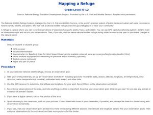
Mapping a Refuge
Students record observations gathered while at a national wildlife refuge. In this lesson on wildlife refuges, students choose an observation spot and record seasonal changes throughout the year.
Curated OER
Quick-Sketch Artist Tips on Mind Mapping the Urban Landscape
Students interpret maps. They also create mental maps of regions in which they are studying. Students then explain the historical or cultural significance of map features orally or in written form. Students take a walking field trip...
Curated OER
Mud Maps
Students discuss the location of stores, buildings, and homes in their community. Afterwards, they create a 'mud map' demonstrating the route from one point to another. In pairs, students read travel directions from a brochure, while...
Curated OER
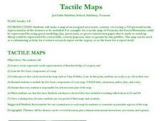
Tactile Maps
Students make a map of an assigned area (state, country, etc.) using a 3-D pictorial-tactile representation of the features to be included. They also learn to create a pictorial- tactile representation of their knowledge of a region, and...
Curated OER
Making a Map of the Classroom
Young scholars create a map of the classroom using the computer programs AppleWorks and iChat in this math-based technology lesson plan. Lesson extension ideas include a scavenger hunt and maps of other school buildings.
EngageNY
Properties of Dilations
Investigate dilations to learn more about them. The second segment in a series of 16 provides a discussion of properties of dilations by going through examples. The problem set provides opportunities for scholars to construct dilations.
Curated OER
FINDING A RESOLUTION
Young scholars examine detailed Moon and Earth views provided by the NASA-sponsored "World Wind" computer program. They work in groups to create maps of different scales using landmarks of their choice, and challenge their classmates to...
Curated OER
Metrics And Measurements
Learners engage in a study of measuring distances between geographical locations on a map. They are able to define and use the map scale in conjunction with the metric system. For this lesson plan they make their own maps and measure the...
Curated OER
Your Galactic Address
Learners discover their place in the universe. In this astronomy activity, students identify their location on various maps that have increasingly larger scales. In the end, the learners write their address in terms of their location...
Curated OER
Klondike Fever
Learners consider the geographical aspects of the gold rush. In this gold lesson, students research just what gold is and where it has been found. Learners create maps that highlight the regions of the world where gold has been found and...
Curated OER
Geography Journey
Fourth graders examine the geographic features that define places and regions and answer questions about the state of California. They discuss the components of a map legend and answer worksheet questions using a map of California as a...
Curated OER
Candy Bar Subsurface Geology
Students are introduced to drawing and interpreting topographical maps. They each cut through there Jell-o mountain at regular height intervals, and trace around the shape of the Jell-o cut off at the height, overlaying the different...
Curated OER
Salad Tray 3D Topographic Model
Learners explore the characteristics of topographical maps. They examine the relationship of contour lines and vertical elevation. Students create a three-dimensional model of a landscape represented by a topographic contour map.
Curated OER
Tracking Satellites Using Latitude and Longitude
Students investigate how to track satellites using latitude and longitude. They investigate what man learns from all the satellites currently being studied today. Students analyze the four basic types of satellite orbits.
Curated OER
Mapping Your Community
Students define the boundaries of their community by comparing the community's official boundaries with other historical, political, physical, and perceived boundaries of the area and create a community map.
Science Matters
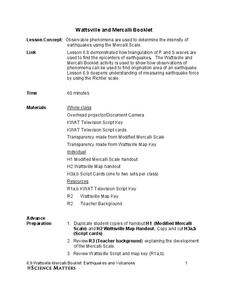
Wattsville and Mercalli Booklet
There has been an earthquake! Can you listen to the description of damage given by callers in order to determine the epicenter? The 11th of 20 lessons has pupils read a script of one emergency caller. The class records the information on...
Curated OER
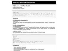
Help! I Am Lost at Fox Chapel
Sixth graders create a map to locate places on campus and share the map with another student. The other students use the map to locate certain places and validate for accuracy via a checklist. The parents use the completed map at open...
Physics Classroom
As the Crow Flies Lab
A simple, yet memorable, way of practicing with displacement vectors is described here. Divide your class into groups and assign each a different landmark on campus. They measure smaller legs of the path from the classroom to their...


