Curated OER
Elements of Civilization
Students create their own ancient civilizations based off of topographical maps of Egypt, Mesopotamia, the Indus Valley, and the Yellow River. In this social studies lesson, students are assigned one topographical map to use to create...
Curated OER
Louisiana Regional Foodways
Learners strengthen their research techniques in locating, selecting, and synthesizing information from a variety of texts, media, references and internet resources to study regional food way traditions in Louisiana. They assess the...
Curated OER
Its All In The Delivery
Students investigate the concept of different words and how they are used in specific texts. They develop scripts based upon readings and then design props and costumes to act out the new text. Students read to one another using the...
Curated OER
Don't Settle for a Byte... Get the Megabyte on Technology
Students use word processing, presentation, and spreadsheet software. In this multi-day computer software usage instructional activity, students complete a research project that requires the use of a word processor, Excel, FrontPage, and...
Curated OER
Spanish & Chicano English
Learners examine the history of Spanish in what is now the United States. They examine the current language status of the Hispanic population. Students are able to characterize Spanglish and Chicano English. They examine some features...
Curated OER
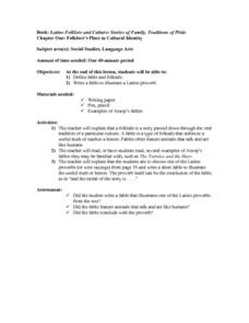
Latino Folklore and Culture: Stories of Family, Traditions of Pride
Students define the terms fable and folktale. They write a fable to illustrate a Latino proverb. Students are explained that a folktale is a story passed down through the oral tradition of a particular culture. A fable is a type of...
Curated OER
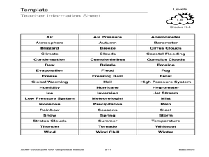
Basic Word
Students create a poster of a weather-related word. In this weather lesson, students randomly choose a weather word, define it, and draw a picture of it. They also use Word Art to create the title of their poster.
Curated OER
UK Cities Map Quiz
In this online interactive geography worksheet, learners examine a map of the United Kingdom and identify the 25 noted cities on the map using a pull down menu within 3 minutes.
Curated OER
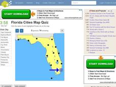
Florida Cities Map Quiz
In this online interactive geography instructional activity, learners examine a map of Florida and identify the 12 noted cities on the map using a pull down menu within 3 minutes.
Curated OER
Texas Cities Map Quiz
In this online interactive geography learning exercise, students examine a map of Texas and identify the 15 noted cities on the map using a pull down menu within 3 minutes.
Curated OER
Michigan Cities Map Quiz
In this online interactive geography worksheet, students examine a map of Michigan and identify the 14 noted cities on the map using a pull down menu within 3 minutes.
Curated OER
Washington Cities Map Quiz
In this online interactive geography worksheet, students examine a map of the state of Washington and identify the 13 noted cities on the map using a pull down menu within 3 minutes.
Curated OER
Create Your Geometry Crossword
Students learn how to identify cell addresses, format cell contents, add pop-up comments to a cell, and also apply conditional formatting. They use clues and words to make a geometry crossword puzzle pertaining to geometrical shapes.
Curated OER
Shoes from Grandpa Lesson Plan
Students read a cumulative text. In this Shoes from Grandpa lesson plan, students examine language usage, different media sources, and literary devices.
Curated OER
Get into the Flow with an Interactive Volcano
Young scholars research the structural elements of a volcano. They make a PowerPoint slide that contains five facts which will be added to a whole class slideshow. They add an interactive table of contents using action buttons.
Curated OER
Surface Areas of Prisms, Pyramids and Cylinders
Young scholars identify and use appropriate formulas to find surface areas of solid figures, practice using formula sheet to solve textbook problems, construct solid figures of given surface area using TABS+ software program, and use...
Curated OER
Best Part of Me
Students find the best part of their body. In this positive self-concept lesson, students listen to the story The Best Part of Me. They come up with their best feature and write a poem about it.
Curated OER
Make a Word: Long U by Starfall
Students explore language arts by participating an on-line grammar activity. In this letter U lesson, students discuss the uses for the letter U in the English language and the different sounds that can be made from the vowel. Students...
Curated OER
Presidential Trading Cards
Learners research the Internet to collect data about the US Presidents. They use the data that they collect along with available technology to produce trading cards and brochures using keyboarding skills, text boxes, acquiring photos,...
Curated OER
Christopher Columbus, The Explorer
Students brainstorm important facts about Christopher Columbus, input information into Kidspiration or Inspiration, watch United Streaming Video on Christopher Columbus and New World to gather information, research online to find...
Curated OER
The Creative Process
Students conceive and create works of visual art that demonstrate comprehension of how the communication of their ideas relates to the media, techniques, and processes they use. They initiate, define, and solve challenging visual arts...
Curated OER
Reaching for the Sky
Students consider features of skyscraper using descriptive words, reflect on notion of skyscraper as orientation point in a city, and explore New York Times Building in Manhattan by reading and discussing article, "Pride and Nostalgia...
Curated OER
Judging a Book by Its Cover
Students explore the relationship between the form of books and the content inside. In this book exploration lesson, students use a piece of their creative writing as inspiration; they author a written book and design a cover that...
Curated OER
Principles of Flight: Where are We?
Young scholars explore the concept of topographical maps. In this topographical map lesson, students discuss how airplanes know where to fly. Young scholars use topographical maps to simulate a field trip on the computer.


