Curated OER
Map Quiz 1
For this map quiz 1 worksheet, students answer questions relating to geography, not interactively, then scroll down to see the answers.
Curated OER
Mapping World War II: During and After
In this World War II worksheet, learners follow the provided instructions to mark 2 maps according to events and outcomes of the war.
Curated OER
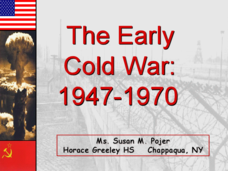
The Early Cold War: 1947-1970
With a combination of images, maps, and valuable information, this presentation is a strong resource for a history class that is coming out of a WWII unit and into a Cold War unit. Some points are outlined for students, while others are...
University of California
Decolonization
The ripple effect from one small event can impact many others. Young historians research the ripple effect World War II had on decolonization in the second installment of an eight-part series. Through primary and secondary documents as...
Mrs. Robbins' Social Studies Site
The Berlin Blockade
The Berlin Blockade may not take up as much space in the history books as other events of the Cold War, but for the citizens of west Berlin in 1948—and the events to follow between the Soviet Union and the United Stattes—those 318 days...
Curated OER
Former Soviet Map Quiz
In this outline map quiz worksheet, students examine the provided map and label the noted countries that used to be part of the former Soviet Union.
Curated OER
The Cold War: 1945-1991
The best part of this presentation about the Cold War is the various pictures, photos, and maps throughout the slides. The timeline of this time period is difficult to follow in the presentation, as well as the details about several main...
Curated OER
When a Map Isn't A Map...
For this maps worksheet, learners read about the Earth, sky, rivers and lakes, and more, and then answer short answer questions about it. Students complete 3 questions.
Curated OER
NATO Geography & Language
The class receives background information on NATO, an atlas, and a blank world map. They color the original 1949 countries in red, the 1952 additions in green, and the 1990 additions in blue. This exercise would be a good starting point...
National Endowment for the Humanities
How "Grand" and "Allied" Was the Grand Alliance?
Learn more about the Grand Alliance with a scaffolded lesson plan that includes four activities. Class members use primary sources to complete a map exercise, understand the goals and objectives of each individual nation, and participate...
Curated OER
The Korean War - A Time Line Activity
Students create a Korean War time line. They identify, describe, and label nine of the key events and turning points of the Korean Conflict. They include all nine events listed on the direction sheet, contain a title, and have at...
Curated OER
Focus on Russia; From Communism to Capitalism
In this Russian history activity, students respond to 12 short answer questions about Communism and Capitalism. Students also use the provided maps of the Russia and the U.S.S.R. to help them answer the questions.
Curated OER
"History of My Family"
High schoolers explore world geography by participating in a family history project. In this U.S.S.R. lesson, students read assigned text regarding the Stalinist era of Russia and the intolerance that thrived there. High schoolers answer...
BBC
Bbc: News: Collapse of the Ussr 10 Years On
Extensive information about the collapse of the USSR. Includes an interactive timeline from 1985 through 1991, an interactive map of the countries of the USSR with country profiles and timelines, eyewitness accounts of the collapse of...
PBS
Pbs American Experience: Race for the Superbomb
This site explores the Cold War race to develop the hydrogen bomb, a weapon that would change the world. Content details all the people who were involved in the race for the H-Bomb, as well as notable events during this time period....
Curated OER
Educational Technology Clearinghouse: Maps Etc: Northeast China, 1971
"Northeast China - the provinces of Heilungkiang, Kirin, and Liaoning - is the most important region of the country and a nationally significant and still-developing center of agricultural production. Most of the Northeast remained...
Nations Online Project
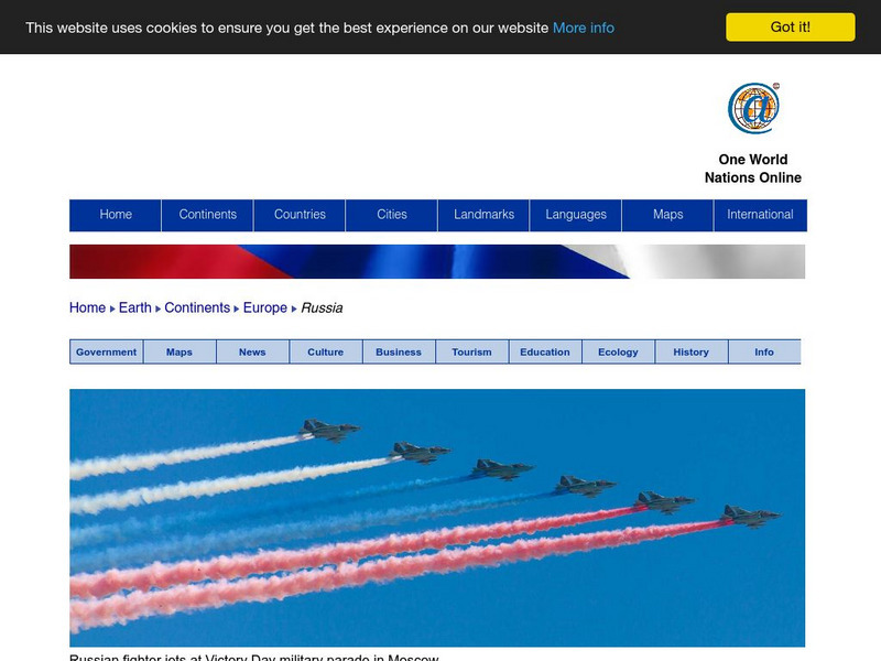
Nations Online: Russia
Offers a country profile and travel guide to the world's largest country of Russia, background overview, and numerous links to comprehensive information on the nation's culture, history, geography, economy, environment, tourism,...
Independence Hall Association
U.s. History: The End of the Cold War
Read about the surprising and swift collapse of the Soviet Union and its satellite countries beginning with Poland in 1989. Watch a map which shows the change from a single country, USSR, into many independent countries, and find out...


