Oregon State University
Osu: Volcano World: Layers of the Earth
This is a website not only on the mantle but also about all the layers of the earth.
Geographypods
Geographypods: Theme 2: Natural Environments
A rich collection of highly engaging learning modules on topics related to the natural environment. Covers four main areas - plate tectonics, forms and processes, weather and climate, and rainforest and desert. Within each of these,...
Georgia Department of Education
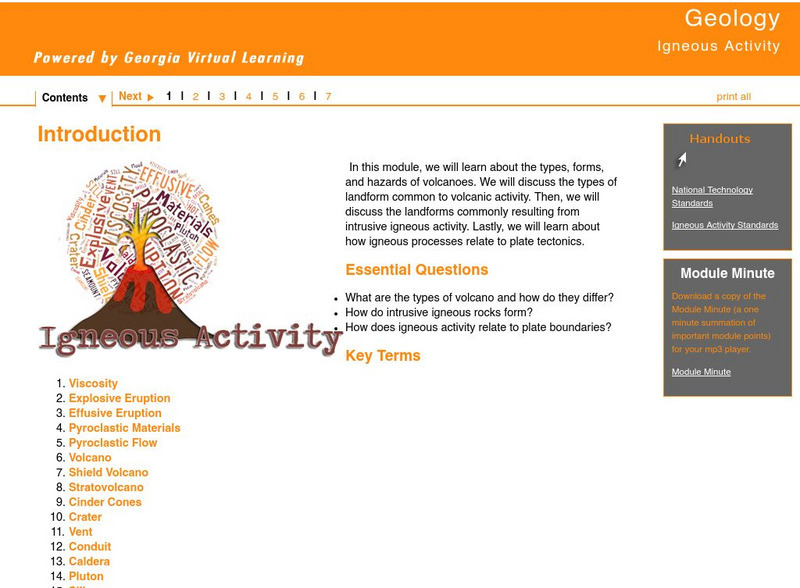
Ga Virtual Learning: Igneous Activity
In this interactive tutorial you will learn about the types, forms, and hazards of volcanoes. The types of landform common to volcanic activity is discussed. Then, the landforms commonly resulting from intrusive igneous activity are...
PBS
Wnet: Thirteen: Savage Earth Online
PBS produced "Savage Earth," a television series about volcanoes, earthquakes, and tsunamis. Contains extensive information with great graphics.
Curated OER
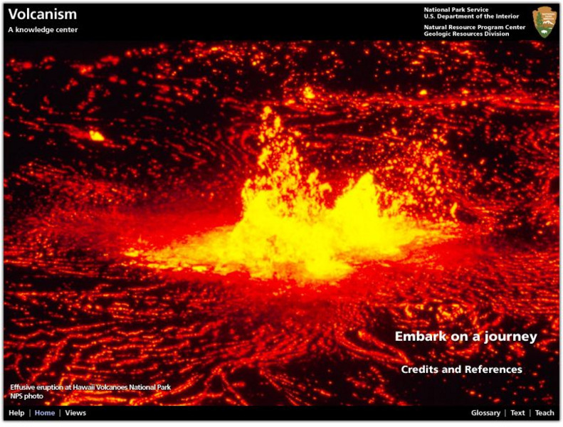
National Park Service: Explore Nature: Views: Volcanism: Embark on a Journey
A journey into the depths of a volcano teaches students about volcanic rocks, eruptions, features, and locations. Also find out how volcanologists monitor activity and conduct scientific research on eruptions.
Annenberg Foundation
Annenberg Learner: Essential Science for Teachers: Earth and Space 3
Visit an active volcano site to find out the connection between the movement of the Earth's plates and the processes deep within the Earth's interior. [58:23]
CK-12 Foundation
Ck 12: Plix: Volcano Map: Oceanic Oceanic Convergent Plate Boundaries
[Free Registration/Login Required] Get an inside look of a subduction zone with the animation on this page. Page includes a interactive animation and a short quiz.
US Geological Survey
Usgs: November 29, 1975 Kalapana
Describes details of the earthquake of November 29, 1975 Kalapana in Hawaii, the tsunami, and the eruption of the volcano Kilauea as a result of the earthquake.
US Geological Survey
Usgs: Volcanic Hazards, Features, and Phenomena
Site from the U.S. Geological Survey provides a brief list of volcano terminology including descriptions as well as links to major menus.
Science Education Resource Center at Carleton College
Serc: Hotspot Lesson: Samoan Hotspot
Using the Hotspot Theory and Plate Velocities, students make comparisons between Hawaii and Samoa in an attempt to determine the volcanic origin of Samoa.
PBS
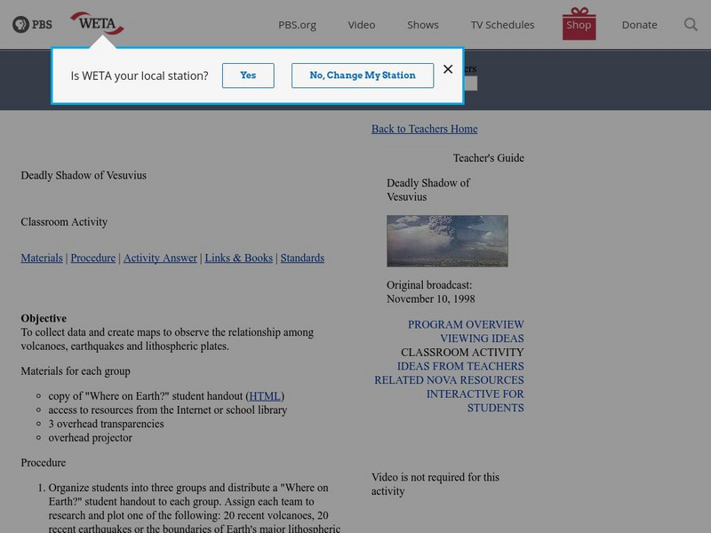
Pbs Teachers: Deadly Shadow of Vesuvius
Observe the relationship among volcanoes, earthquakes and lithospheric plates by collecting data and creating maps. This activity was created to be used with the NOVA program, "Deadly Shadow of Vesuvius" but the video is not necessary...
American Geosciences Institute
American Geosciences Institute: Earth Science Week: Mapping Quake Risk
Students use GIS to observe worldwide patterns of earthquakes and volcanoes and analyze the relationships of those patterns to tectonic plate boundaries. Then they identify cities at risk.
TeachEngineering
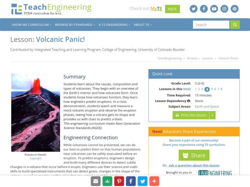
Teach Engineering: Volcanic Panic!
Students learn about the causes, composition and types of volcanoes. They begin with an overview of the Earth's interior and how volcanoes form. Once students know about how a volcano functions, they learn how engineers predict...
American Museum of Natural History
American Museum of Natural History: Ring of Fire O Logy Card
Flip over this interactive OLogy flash card to read about the Ring of Fire, a series of volcanoes in the Pacific Ocean along the Pacific Plate.
Khan Academy
Khan Academy: Mantle Convection and Plate Tectonics
Learn about the fundamental planetary process that has profoundly influenced the character and evolution of Earth, mantle convection.
Annenberg Foundation
Annenberg Learner: Dynamic Earth Interactive
Delve into the structure of the Earth to learn what causes earthquakes, volcanoes, and more.
ClassFlow
Class Flow: Mountains, Volcanoes, and Earthquakes
[Free Registration/Login Required] This flipchart introduces students to the formation of mountains, volcanoes, and earthquakes.
ClassFlow
Class Flow: Earthquakes & Volcanoes
[Free Registration/Login Required] This flipchart shows diagrams of plate tectonics and how earthquakes and volcanoes are formed. Activotes are needed to answer several questions.
ClassFlow
Class Flow: Plate Tectonics
[Free Registration/Login Required] Students will investigate the scientific view of how the earth's surface is formed. Students recognize that lithospheric plates constantly move and cause major geological events on earth's surface....
Smithsonian Institution
National Museum of Natural History: This Dynamic Planet
Research and explore past earthquake and volcanic activity on this interactive world map. User can manipulate which notable events and other map characteristics to view depending on the type of study being done.
PBS
Pbs: Earth Science Exploration
An earth science collection where students can explore earthquakes, volcanoes, and more natural phenomena. The collection uses videos and interactive activities to investigate our dynamic planet and earth systems.
Other
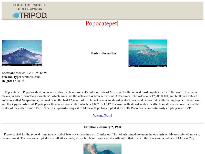
Popocatepetl
Basic information on the volcano Popocatepetl. Also includes brief information on the two eruptions in 1997 and 1998.
Khan Academy
Khan Academy: Why We're All Lava Surfers
Read about people who see plate tectonics close up as they lava surf. Learn about their adventures in this article.
Other
Nasa: Iss Earth Kam
Students get a whole new perspective of the world through images obtained from the International Space Station. Students can even request images to be taken through ISS EarthKAM. Activities and educator guides are provided.


