NOAA
Noaa: National Weather Service: Remote Sensing
The National Weather Service presents this site on remote sensing. Learn about Doppler radar, the Automated Surface Observing System (ASOS), and radiosondes. Review questions included.
NASA
Nasa: Sci Jinks: How Do Satellites Help Save Lives?
Discover how rescuers use satellites to save people's lives. Find out what it takes to make a career saving people using satellites.
Other
Russia's Weather Server
This site lets you access current and average weather data for a number of Russian cities. You can also look at forecasts, get beach weather and sea surface temperatures, and get satellite data for Russia.
University of Wisconsin
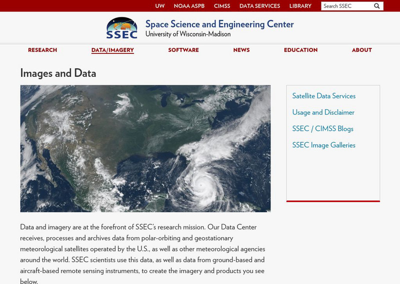
Ssec: Real Time Imagery and Data: Satellite Images of the Earth
Check out real-time satellite photos of the earth to study weather patterns.
TeachEngineering
Teach Engineering: Mind Bending Gps Occultations
Students learn about the remote sensing radio occultation technique and how engineers use it with GPS satellites to monitor and study the Earth's atmospheric activity. Students may be familiar with some everyday uses of GPS, but not as...
NASA
Sci Jinks: Learn Satellite Meteorology
A collection of learning modules is offered to enhance studying meteorology. This opportunity should peek students' interests as they work through geoscience, physics, chemistry, and applied sciences. Each module includes exercises and...
Gulf of Maine Research Institute
Gulf of Maine Aquarium: Comparing Oceans: Warm Up to the Gulf Stream
This site features some background information and a satellite image of the Gulf Stream that you can analyze using information also given at the site. There is a link to an activity about the formation of eddies along the Gulf Stream as...
University of Texas at Austin
University of Texas: Hurricane Rita Maps
Web page with a large quantity of links to information on Hurricane Rita including maps, aerial images, satellite images, data, and much more.
NOAA
Noaa: Education Resources
Links to earth science sites, including safety tips, fun activities, general earth science information, and daily weather reports and more.
Dan Satterfield
Dan's Wild Weather Page: Hurricanes
Use this site to find out about hurricanes and how to track them.
Other
Hong Kong Observatory: Meteorology
A useful page from the Hong Kong Observatory offering introduction to weather and weather phenomenon. Learn about thunderstorms, tides, monsoon season, weather radar, and weather in space. Not a slick site but informative. Most...
Other
Unisys: Hurricanes/tropical Data
There is a table that has links to hurricanes in the Atlantic from 1995, East Pacific from 1997, West Pacific from 1996, South Pacific from 2000, and South India from 2000. This page has a satellite map and the Saffir-Simpson Scale.
American Geosciences Institute
American Geosciences Institute: Radar and Satellites Observe Predict Weather
Find out how radar and satellites have become an important tool for observing and predicting the weather.
Other
Smis: Daily Satellite Photo: European Russia, Western Siberia, North East Europe
This site offers weather maps for three areas: European Russia, Western Siberia, and Northeast Europe. The maps show very current weather conditions for each area.
Other
Kidstorm: Hurricanes
Get the facts on hurricanes with this detailed information page. This page includes photos, charts and satellite images.
Science Education Resource Center at Carleton College
Serc: How Does the Temperature of the Great Lakes Change Over Time?
This activity allows students to use water surface temperature, bathymetric data, and weather data to look at trends in the water temperature of the Great Lakes.
Center for Educational Technologies
Severe Weather: Hurricane Watch
Hurricanes are the most powerful of storms. Using satellite images, this site allows you to plot the path of a hurricane and predict when it will strike land.
PBS
Pbs News Hour Extra: Satellites Orbit the Sun to Better Predict Solar Storms
For the first time, NASA scientists have generated a full image of the sun, front and back, using twin orbiting satellites. The new view of Earth's star will allow for the study of solar weather events like coronal mass ejections that...
University Corporation for Atmospheric Research
Ucar: Remote Sensing
Discusses the importance of radar and satellite sensing in weather forecasting. Well illustrated with useful animations showing how radar and satellite sensing works.
TeachEngineering
Teach Engineering: Distorted Disturbances
Students pass around and distort messages written on index cards to learn how we use signals from GPS occultations to study the atmosphere. The cards represent information sent from GPS satellites being distorted as they pass through...
NASA
Nasa: Trends of Snow Cover and Temperature in Alaska
This lesson plan allows learners to use NASA satellite data observations with surface measurements of snow in Alaska. Students will be able to make scientific predictions, find data correlations, and learn about data collection methods.
Other
Climate Change Institute: Climate Reanalyzer
Using interfaces for reanalysis and historical station data, the Climate Reanalyzer provides an intuitive platform for visualizing a variety of weather and climate data sets and models.
NOAA
Noaa: Homepage
This is the homepage and online publication of National Oceanic & Atmospheric Administration (NOAA), which provides weather and environmental-related news from around the world.
Other
Simple Science: Snow and Ice Ii
The innovative resource compares snow and ice cover in the Northern Hemisphere over a period of 24 years. The images are obtained from satellite measurements of visible and microwave radiation. The activity has an interactive online...


