Other
France 3: Meteo
Resource provides weather reports from France - different cities, regions and other French possessions overseas are accessible. Satellite images and air quality indexes are also available.
PBS
Pbs: El Nino
You can link to the anatomy of El Nino, chasing El Nino, and El Nino's reach. There is a resource page and a search page.
NOAA
Noaa: Photo Library: National Severe Storms Laboratory
This National Severe Storms Laboratory Photo Album features amazing photographs of tornadoes, instruments, sky scenes, lightning, and hail.
The Washington Post
The Gulf Coast in Katrina's Wake
This vivid look at New Orleans and the surrounding areas truly gets to the core of the destruction imposed by Hurricane Katrina. A graphic overview, panoramic photographs, and short videos are just a few of the amazing resources offered...
NASA
Nasa Earth Observatory: El Nino's Extended Family Introduction
This article discusses cycle of global weather patterns and its relation to El Nino. Learn how global weather patterns are being tracked by satellites and how scientists are predicting weather patterns up to a year in advance.
Science Education Resource Center at Carleton College
Serc: Hurricanes
Nine learning modules for students to study hurricanes using satellite imagery and visualizations, and participate in some hands-on experiments. They'll also explore over 150 years of storm data to find out when and where these storms...
PBS
Pbs Learning Media: What Causes the Gulf Stream?
This video segment adapted from NOVA uses satellite imagery to illustrate the Gulf Stream's path and animations to explain how atmospheric phenomena cause it to move. [1:51]
NOAA
Noaa: Operational Significant Event Imagery
This site contains satellite images from around the world organized by significant events such as dust storms, floods, severe weather, etc. Not very user friendly, but the images are there for those willing to search.
Mocomi & Anibrain Digital Technologies
Mocomi: Global Positioning System
Developed by the U.S. military, The Global Positioning System (GPS) is a space-based satellite navigation system that provides location and time information in all weather, anywhere on or near the Earth.
Fourmilab Switzerland
John Walker: Earth and Moon Viewer and Solar System Explorer
This website provides numerous images of the Earth and moon, shown from various vantage points.
University Corporation for Atmospheric Research
Ucar: Fact Sheet for El Nino
This site from the Univ. Corp. for Atmospheric Research provides detailed information on El Nino and its effects on the trade winds is offered at this site, with satellite photos.
Curated OER
Jason 1 Satellite
This site from the National Aeronautics and Space Administration provides a fun project on El Nino. "You have probably heard people blame "El Nino" for everything from bad weather to lost homework. Now we are going to "blame El Nino" for...
Curated OER
Topex/poseidon Satellite
This site from the National Aeronautics and Space Administration provides a fun project on El Nino. "You have probably heard people blame "El Nino" for everything from bad weather to lost homework. Now we are going to "blame El Nino" for...
NASA
Nasa: Climate Kids: Rainsticks and Folklore
From superstitions to satellites, find out how weather instruments have helped people predict drought conditions through time.
Society for Science and the Public
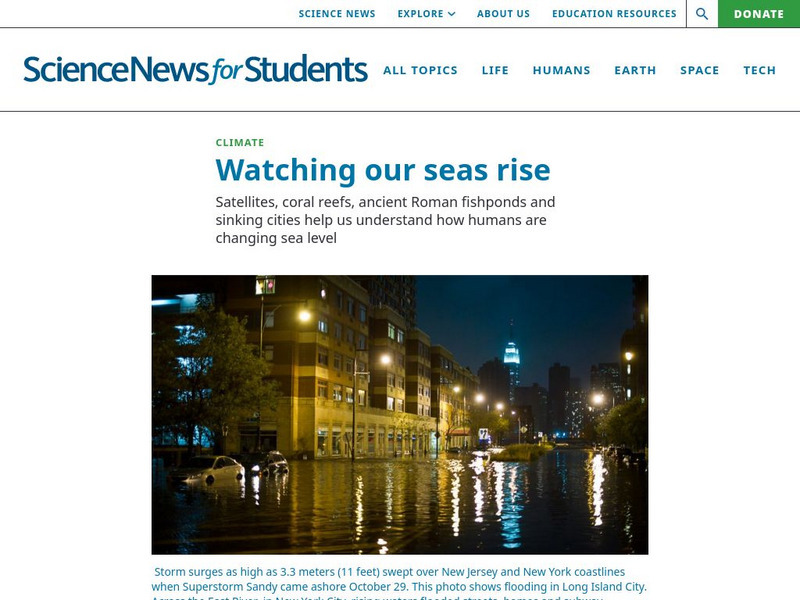
Science News for Students: Watching Our Seas Rise
Ocean levels are increasing around the world. Find out why this type of climate change has scientists concerned.
South Carolina Educational Television
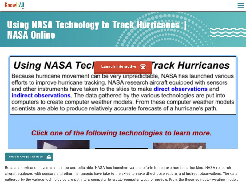
Know It All Media: Tracking Hurricane Technology
Find out how scientists have improved hurricane tracking technology through new aircraft and advanced instruments.
Science Education Resource Center at Carleton College
Serc: Exploring and Animating Goes Images
Students learn how to transform a series of GOES images into an animation, and how to create a storm track from that animation. By synthesizing information from the track and other sources, students determine storm speed and direction.


