Other
History of Louisiana Under 10 Flags
This site offers a timeline history of the disputed territory now known as the state of Louisiana. Make sure you view all three pages of this presentation.
Other
History of Louisiana Under 10 Flags
This site offers a timeline history of the disputed territory now known as the state of Louisiana. Make sure you view all three pages of this presentation.
University of Groningen
American History: Outlines: Building Unity
Outline of the U.S. and the quest for unity in the early 1800s. Article briefly chronicles events such as the War of 1812 as well as political and economic decisions that created a united America separate from Britain.
US National Archives
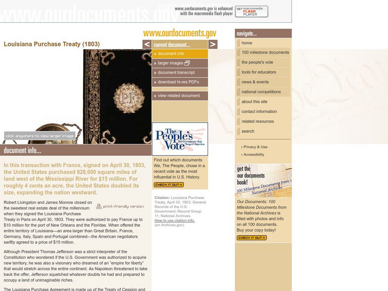
Our Documents: The Louisiana Purchase Treaty (1803)
A fantastic site from the Our Documents group that allows visitors to see an original copy of the Louisiana Purchase Treaty of 1803. This treaty allowed the United States to purchase a tract of land west of the Mississippi River that was...
Tom Richey
Tom Richey: The Crisis of the Union (1835 1860)
Teachers and students will enhance their lessons with the videos, lessons, and slideshows presented. This unit sets the stage for a nation expanding west following the Texas Revolution.
CPALMS
Florida State University Cpalms: Florida Students: Captains of Industry: Second Industrial Revolution
This tutorial looks at the Second Industrial Revolution in the United States and the most famous and successful industrial entrepreneurs of that time. A PDF file of the tutorial is available.
Cyberbee
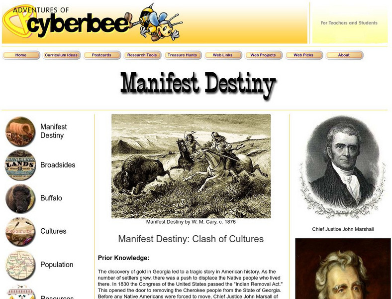
Manifest Destiny: Clash of Cultures
A unit plan about the Manifest Destiny that includes an explanation of the term as well as additional resources.
Curated OER
Educational Technology Clearinghouse: Maps Etc: The United States, 1830
A map of the United States in 1830 showing the states and territories, the joint-occupation with Britain in Oregon Country, and the British and Spanish possessions at the time. The map shows the westward expansion of the United States,...
Curated OER
Educational Technology Clearinghouse: Maps Etc: The United States, 1821
A map of the United States and territories showing the westward expansion after the Missouri Compromise (1820) and the admission of Missouri into the Union in 1821.
University of Groningen
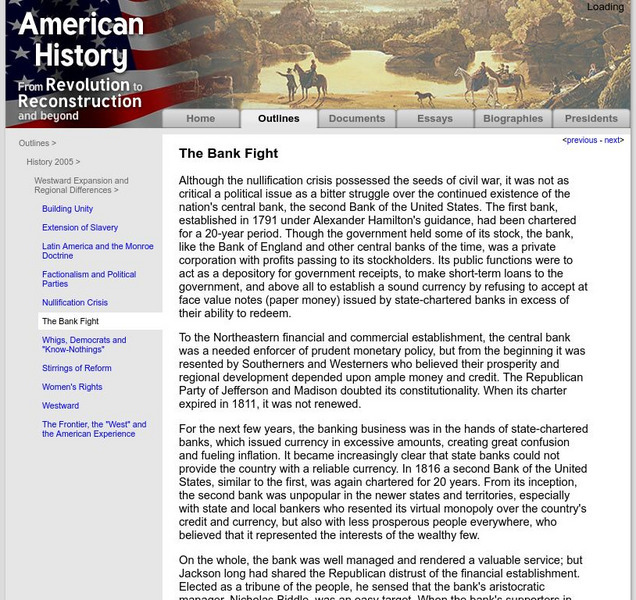
American History: Outlines: The Bank Fight
Although the nullification crisis possessed the seeds of civil war, it was not as critical a political issue as a bitter struggle over the continued existence of the nation's central bank, the second Bank of the United States. The first...
Houghton Mifflin Harcourt
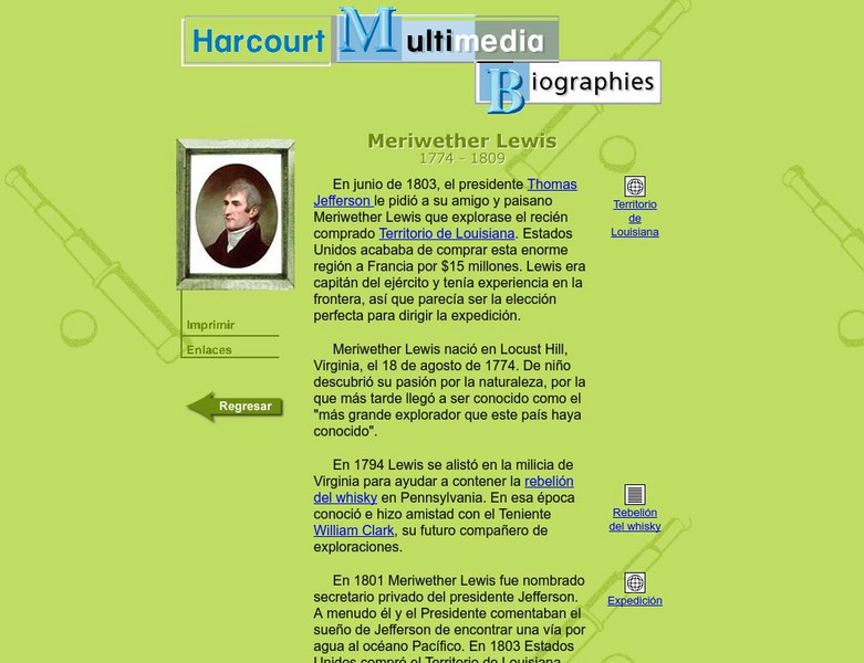
Harcourt: Biographies: Meriwether Lewis
A biography of Meriwether Lewis, the man in charge of one of the great expeditions of the United States. (In Spanish)
Other
Global Security: 54 40 or Fight
Describes the significant territorial changes that took place in the United States under the presidency of James K. Polk. These included the annexation of Texas, the settling of the dispute with Great Britain over claims to Oregon...
Library of Congress
Loc: Today in History: January 31: John C. Fremont: The Pathfinder
A biography of a colorful but controversial character of the West, a candidate for president of the United States, and major-general during the Civil War.
OpenStax
Open Stax: Free Soil or Slave? The Dilemma of the West
By reading this section of a chapter on "Westward Expansion," students will be able to describe the terms of the Wilmot Proviso and the Compromise of 1850, discuss why the Free-Soil Party objected to the westward expansion of slavery and...
Siteseen
Siteseen: American Historama: Oregon Trail
The Oregon Trail was the important route taken by settlers from the east migrating to build a new life in the western part of the United States covering over 2000 miles.
US Geological Survey
Usgs: The Four Great Surveys of the West
This site provides historic images of the expanding frontier taken by military and private citizens from 1861-1912.
Curated OER
Etc: Maps Etc: Westward March of the Great Pioneers and Explorers, 1911
A map of the United States showing the historic sea and land routes taken by famous explorers across North America, from the coastal explorations of Cabot and Corte Real in the Northeast, Ponce de Leon and Alvarez in Florida and the Gulf...
Curated OER
Etc: Maps Etc: United States Population Density, 1900
A map from 1912 of the United States, subtitled "Distribution of Population and Railways in 1900" showing the increase in population and expansion of the railroad network since 1850. The map is color-coded to show population densities...
Siteseen
Siteseen: American Historama: Homestead Act
The purpose of the Homestead Act of 1862 was to shape the future of the Western regions of the United States by taming the region by populating the area with farmers. This article provides an overview of this important political incident...
Country Studies US
Country Studies: The Plight of the Indians
This site explains how as westward expansion grew, more and more Indians encountered settlers, ranchers and miners who sought life, land, and riches out West. Conflicts between settlers and Indians soon involved the federal government...
Other
New York Public Library: Heading West: Mining the West
A short page on the discovery of gold at Sutter's Fort as well as the impact of mining in the west on relations with Native Americans.
New York Public Library
In Motion: The Land Promised Lesson Plan: African American Homesteaders
The narrative, The Western Migration, features African Americans with agricultural backgrounds who migrated west following the Civil War and availed themselves of the opportunity to homestead. The Land Promised is designed for use in...
Ohio State University
Osu History Teaching Institute: Indian Removal
This lesson looks at the process whereby a policy of assimilation gave way to one of overt removal under President Jackson.
Curated OER
Educational Technology Clearinghouse: Maps Etc: Trade and Migration, 1840 1850
A map of the United States showing the principal trade and westward migration routes between 1840 and 1850. The map shows state and territory boundaries at the time, major cities, ports, outposts, forts, and settlements, rivers, mountain...


