Curated OER
Educational Technology Clearinghouse: Maps Etc: Trade and Migration, 1840 1850
A map of the United States showing the principal trade and westward migration routes between 1840 and 1850. The map shows state and territory boundaries at the time, major cities, ports, outposts, forts, and settlements, rivers, mountain...
Curated OER
Etc: Center of Population, 1790 1900
A map from 1919 showing the mean center of population of the United States, calculated at each census from 1790 to 1900. The map illustrates the westward expansion of territory and migration during the period. "The center of population...
Curated OER
Educational Technology Clearinghouse: Maps Etc: The United States, 1821
A map of the United States and territories showing the westward expansion after the Missouri Compromise (1820) and the admission of Missouri into the Union in 1821.
Curated OER
Etc: Maps Etc: Distribution of Population , 1850
A map of the United States showing the population distribution in 1850. The map is coded to show population densities ranging from under 2 inhabitants per square mile to over 90 inhabitants per square mile. The map illustrates the...
Curated OER
Etc: Principal Routes of Trade and Migration, 1840 1850
A map of the United States between 1840 and 1850 showing the states and territories, and the principal routes of transportation and westward migration during the period. The map shows frontier forts, outposts, and settlements, the...
Independence Hall Association
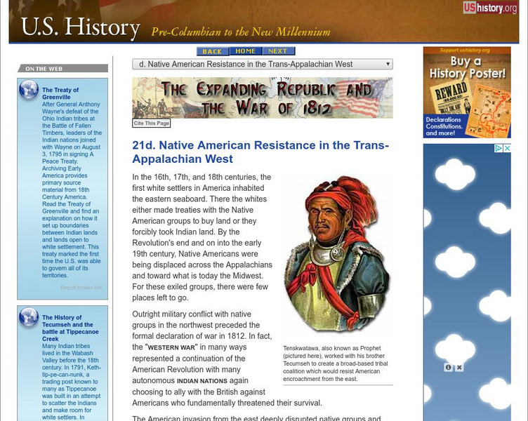
U.s. History: Native Resistance in the Trans Appalachian West
This site gives a brief look at the Indian alliance built by Tecumseh to confront the U.S. military which wanted to protect the settlers moving west into Indian territory.
Independence Hall Association
U.s. History: Exploration: Lewis and Clark
A very brief overview of the Lewis and Clark expedition, focusing on the beginning and western terminus of the trip.
Independence Hall Association
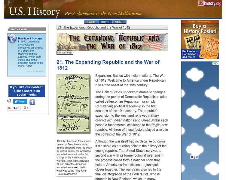
U.s. History: The Expanding Republic and the War of 1812
A brief overview of the Jeffersonian Era up through the War of 1812.
Siteseen
Siteseen: American Historama: William Henry Harrison
Facts, biography, and accomplishments of the life of William Henry Harrison and summaries of important events during his presidency.
Curated OER
Etc: Maps Etc: Westward March of the Great Pioneers and Explorers, 1911
A map of the United States showing the historic sea and land routes taken by famous explorers across North America, from the coastal explorations of Cabot and Corte Real in the Northeast, Ponce de Leon and Alvarez in Florida and the Gulf...
Curated OER
Etc: Maps Etc: United States Population Density, 1900
A map from 1912 of the United States, subtitled "Distribution of Population and Railways in 1900" showing the increase in population and expansion of the railroad network since 1850. The map is color-coded to show population densities...


