Curated OER
Canada Map Quiz
In this online interactive geography quiz activity, students examine the map that includes 13 Canadian provinces and territories. Students identify the names of the provinces and territories in 2...
Curated OER
California Cities Map Quiz
In this online interactive geography quiz instructional activity, students examine the map that includes 12 California cities. Students identify the names of the cities in 3 minutes.
Curated OER
Is there a map in that story?
Eighth graders examine different pieces of literature from specific isolated Pacific islands. In this Geography lesson, 8th graders read and interpret a written selection. Students construct a map of the stories setting.
Curated OER
Right Place, Right Time
Fourth graders complete mathematical word problems. They study the relationships among distance, speed, and time; and measure travel distances. They measure distances using a piece of string and a ruler and practice converting several...
Curated OER
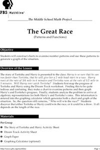
The Great Race
Students are presented with a story about two individuals running a race in which one is given a head start. Students must map the progress of the runners, create a chart examining patterns and graph the progress. In the end, students...
Curated OER
Maps, Charts, and Graphs
Students define key geographic terms and track a hurricane on a map. They examine various types of maps and find locations on them,including rivers, cities and mountains.
Curated OER
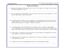
A Watered-Down Topographic Map
Eighth graders explore the ocean floor. In this topography activity, 8th graders compare topographical maps to bathymetric charts. They will create a topographic map and note landmarks and other land features.
Curated OER
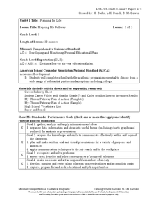
Mapping My Pathway
Eighth graders create career portfolios, speak with the school counselor, and develop and educational plan. Individually, 8th graders discuss career options and how an educational plan can assist them in future goals. They explore...
Curated OER
Mapping The Ocean Floor
Young scholars explore and analyze the bottom structure of underwater habitats. They describe and explain what can't see through the collection and correlation of accurate data. Learners assess that technology is utilized as a tool for...
Curated OER
Treasure Hunters
Students design an on campus treasure hunt to find various architectural vocabulary words which they then create definitions for on the blog page on the Environmental Design website.
Curated OER
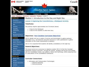
Exploring the Constellations, a WebQuest Activity
Students explore space science by participating in a class WebQuest. In this constellation identification lesson, students view star charts based on the four seasons and identify the changes our sky goes through in the course of 12...
Curated OER
United States Map Quiz
In this online interactive geography quiz learning exercise, students respond to 50 identification questions about the shapes of countries shown. Students have 5 minutes to complete the quiz.
Curated OER
Indian Resistance
Students observe the pictures and maps of the Sequoyah Indians. In this Sequoyah lesson plan, students use the maps and pictures to discuss observations and write responses of the Indian point of view.
Curated OER
Mapping the Ocean Floor
Young scholars study the bottom structure of underwater habitats and how they can be mapped.
Curated OER
Using Charts and Graphs to Study East Asia's Modern Economy
Students examine East Asia's modern economy. In groups, classmates use the internet to compare the resources, products, and economy of specified countries. After collecting the data, pupils create charts, tables and graphs. They...
Curated OER
Did You Feel That? Earthquake Data Chart
Students plot earthquakes on the world map using coordinates of longitude and latitude. They designate the earthquakes magnitude with a symbol which they include in the map key.
Curated OER
Creating a Character Chart for the Secret Garden
The Secret Garden, is a wonderful book to read with your class. After reading, why not employ the lesson plan presented here as a follow up activity? In it, pupils create character charts that portray the tremendous changes that...
Curated OER
Physical Geography- Climate
Sixth graders explore different climates. In this compare and contrast lesson, 6th graders look at the differences in climates of America and Europe. Students use KWL charts and graphic organizers to record information about different...
Curated OER
How Far Did They Go?
Students create a map. In this direction and distance lesson, students come up with familiar places in the community and calculate the distances from these places to the school. Students create a map that displays these places and their...
Curated OER
Informational Text Features
How can you tell if the text you're reading is informational or narrative? Show your reading class this basic PowerPoint to illustrate the characteristics of an informational text. What makes this presentation especially effective is...
Curated OER
All About Me
Using technology, learners create and deliver a multimedia autobiographical presentation to present to the class. This ambitious lesson plan has learners use a variety of sources both old and new; magazines, poster board, the Internet,...
Curated OER
A Research Project and Article For the Natural Inquirer
Get your class to use the scientific process to solve a scientific problem. They utilize the Natural Inquirer magazine to identify a research question which they write an introduction to and collect data to answer. They use graphs,...
Sharp School
Geography Project
This very simple geography project can lead to a lot of useful referential information that can be displayed in your classroom! Learners construct a poster-size map of a country, identifying major demographic points and including pie/bar...
Agriculture in the Classroom
Pumpkins... Not Just For Halloween
Celebrate fall with four pumpkin themed hands-on activities! After learning about pumpkins, scholars complete two activity sheets that reinforce estimation and word problems. They then plant pumpkin seeds and bake a pie in...


