Curated OER
Volcanic Clouds and the Atmosphere
Students examine how scientists monitor volcanoes. In this volcano instructional activity students complete several activities including why we see things when using satellites.
Curated OER
The Equator
Students investigate cultures located along the equator. In this geography skills lesson plan, students research the geography, history, culture, and tourism of Ecuador, Indonesia, Kenya, Brazil, and Singapore. Students write an article...
Curated OER
Search for Ice and Snow
Students use satellite images to locate areas of ice and snow on the globe. They create a table showing the information they gathered. They present their information to the class.
Curated OER
Utah's Amazing Ecosystems
Students investigate the various ecosystems of Utah. They define key vocabulary terms, conduct research, and create an informational report on a selected ecosystem of Utah.
Curated OER
Ocean Currents
Students examine ocean currents. In this investigative lesson, students examine ocean currents and the relationship between the ocean, our atmosphere, and the weather. They will create a model of an ocean current.
Curated OER
America's Heartland
Students complete geography and trade activities about global trade. In this geography and trade lesson, students read information to learn about absolute advantage, comparative advantage, trade factors, U.S. trade partners, and...
Curated OER
Geography: Why Is the Sacremento Valley a Good Place to Grow Rice?
Third graders locate the Sacramento Valley in California where rice is grown. In this rice growing location lesson plan, 3rd graders locate the Sacremento Valley, California on a map, and color the mountain ranges and terrain that is...
Curated OER
Physical and Human Geography Review Worksheet and Study Guide
In this geography skills worksheet, students respond to 30 short answer questions pertaining to physical and human geography.
Curated OER
The Many, Varied, and Unusual Places and Things on Earth
Students discover how energy flows through communities because of the relationship between producers, consumers and decomposers. Examining various ecosystems, they identify the materials that cycle continuously through them. They label...
Curated OER
"Across Oregon On The 45th N Parallel" A Transect of Oregon
Students explore the physical geography of Oregon. In groups, students collect weather and elevation information on Oregon. They organize the data and create maps and graphs of the information. Afterward, students compare the...
Curated OER
At Your Fingertips
First graders observe a variety of different foods including kiwi, banbnas, coffee, chocolate and discuss where they come from. They discuss the terms import and export then identify the locations where the items came from and their...
Curated OER
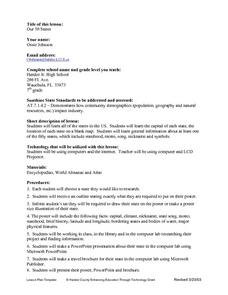
Our Fifty States
Seventh graders identify and locate all fifty states in the United States and their capitals. Individually, they research one state identifying when it became a state, its motto, song, flower and nicknames. To end the lesson, they are...
Curated OER
Planning a Healthy City
Ninth graders create a scaled model city. They create a blueprint that provides for the economic and cultural needs of a community. They identify where essential elements of the city should be located and explain the rationale for the...
Other
World Climate
Find out what the climate is like in thousands of places all over the world. You'll not only get the climate, but the latitude and longitude as well!
Annenberg Foundation
Annenberg Learner: Journey North: Judy Brophy: The World's Biggest Address Book
Great slideshow to learn about latitude and longitude. There are many great discussion questions as well as maps to enhance your learning.
National Weather Service
National Weather Service: Jet Stream: Climate
The Online School for Weather discusses the world's major climate categories based upon general temperature profile related to latitude.
Texas Instruments
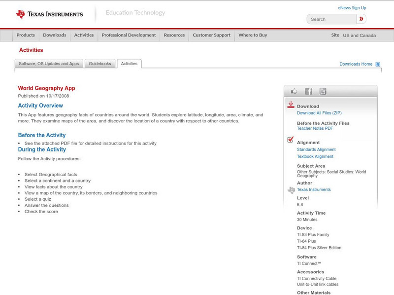
Texas Instruments: World Geography App
This classroom activity features geography facts of countries around the world. Students explore latitude, longitude, area, climate, and more. They examine maps of the area, and discover the location of a country with respect to other...
National Earth Science Teachers Association
Windows to the Universe: Climate Changes With Latitude
A map showing the division of the world into eight biomes based on different climate types around the world. There are links to more information about each biome.
Geographyiq
Geography Iq
Detailed geographical information on any country is available at this site. Within the World Map section, you can get facts and figures about each country's geography, demographics, government, political system, flags, historical and...


