Other
Mcdwn: Climate
Wonderful site! Learn about climates and gather helpful information. When you are done, take the climates quiz to show what you have learned.
National Weather Service
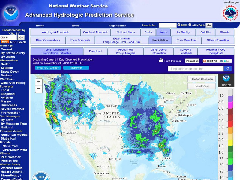
National Weather Service:climate Prediction Center: Daily Precipitation Analysis
Find real-time daily precipitation analysis for the United States, Mexico, and South America as well as accumulated precipitation maps for the past 30 or 90 days.
Central Intelligence Agency
Cia: World Factbook: Peru
This resource from the CIA World Factbook provides a detailed fact sheet of Peru. The content covers the country's geography, people, government, economy, communications, transportation, military, and transnational issues. It includes...
Central Intelligence Agency
Cia: World Factbook: Jordan
This resource from the CIA World Factbook provides a detailed fact sheet of Jordan. The content covers the country's geography, people, government, economy, communications, transportation, military, and transnational issues. It includes...
Central Intelligence Agency
Cia: World Factbook: Pakistan
This resource from the CIA World Factbook provides a detailed fact sheet of Pakistan. The content covers the country's geography, people, government, economy, communications, transportation, military, and transnational issues. It...
Central Intelligence Agency
Cia: World Factbook: Tajikistan
This resource from the CIA World Factbook provides a detailed fact sheet of Tajikistan. The content covers the country's geography, people, government, economy, communications, transportation, military, and transnational issues. It...
Geographyiq
Geography Iq
Detailed geographical information on any country is available at this site. Within the World Map section, you can get facts and figures about each country's geography, demographics, government, political system, flags, historical and...
Texas Instruments
Texas Instruments: World Geography App
This classroom activity features geography facts of countries around the world. Students explore latitude, longitude, area, climate, and more. They examine maps of the area, and discover the location of a country with respect to other...
National Geographic
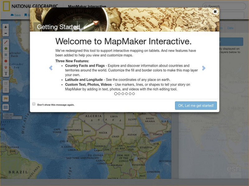
National Geographic: Map Maker Interactive and 1 Page Map Maker
This National Geographic feature allows visitors to create their own world maps complete with capitals, oceans, climate information, satellite view, personalized trail markings and more. Choose from a detailed color map or the second...
Center for Innovation in Engineering and Science Education, Stevens Institute of Technology
Ciese Real Time Data Projects: Weather Scope: A Study of Weather and Climate
Use real-time data to study factors that affect weather and climate, create weather instruments, and share data with learners around the world.
Annenberg Foundation
Annenberg Learner: Journey North: Judy Brophy: The World's Biggest Address Book
Great slideshow to learn about latitude and longitude. There are many great discussion questions as well as maps to enhance your learning.
National Earth Science Teachers Association
Windows to the Universe: Climate Changes With Latitude
A map showing the division of the world into eight biomes based on different climate types around the world. There are links to more information about each biome.
Central Intelligence Agency
Cia: World Factbook: Romania
This resource from the CIA World Factbook provides a detailed fact sheet of Romania. The content covers the country's geography, people, government, economy, communications, transportation, military, and transnational issues. It includes...
Central Intelligence Agency
Cia: World Factbook: China
This resource presents extensive information about China. See a map of China and surrounding countries, and learn about the country's geography, people, government, military, communications, and transnational issues.
Other
Radley College Geography Department: Latest Weather
Many weather maps including world satellite images, jet streams, tropical storm trackers, temperatures and many more.
World Facts US
World Facts: Geography of Bolivia
Here you can learn much detailed information on the geography of Bolivia. Bolivia is divided into three geographic zones: mountains and Altiplano, Yungas and other valleys, and the lowlands. Also discusses the climate and provides a...
National Center for Ecological Analysis and Synthesis, University of California Santa Barbara
University of California: A Global Map of Human Impacts to Marine Ecosystems
Maps in different categories such as fishing, climate change, and pollution were pulled together into a composite map that shows the impact of humans on the world's oceans. Analysis at the time (2008) showed that 40% of the world's...
Climate Literacy
Clean: Seasonal Temperature Pattern Variation in Different Regions of the World
Students use GLOBE climate science visualizations to display student data on maps and to learn about seasonal changes in regional and global temperature patterns.
World Facts US
World Facts: Geography of Guyana
Full of useful facts and information on the geography of Guyana including: terrain, climate, and hydrology. Includes a link to a detailed map of Guyana.
World Facts US
World Facts: Geography of Venezuela
Features detailed information about the topography, climate, and hydrography of Venezuela. Click on the link to take a look at the map.
World Facts US
World Facts: Geography of Brazil
Great comprehensive resource for learning about the geography of Brazil. Site iscusses the environment and climate at length and provides a link to a detailed map.
World Facts US
World Facts: Geography of Belize
Describes in detail the geology, physical features, natural resources, and climate of the Central American country of Belize. Includes a map.
World Facts US
World Facts: Geography of Colombia
Great resource for gathering comprehensive information on the geography of Colombia which is divided into four geographic regions: Andean Highlands, Caribbean Lowlands, Pacific Lowlands, and Eastern Colombia. Also delves into the climate...
Other
University of Wisconsin Marathon County: Koppen's Classification Map
Keeping vegetation in mind, Koppen's Climate Classification Map is the most widely used system of measuring the combination of precipitation and temperature. This map identifies areas and labels them variations of tropical, dry,...


