C3 Teachers
C3 Teachers: Inquiries: Geography
A learning module on world geography. It includes several supporting questions accompanied by formative tasks and source materials, followed by a summative performance task. Students investigate where their community is located, where...
Nations Online Project
Nations Online
This portal site offers quick access to a wide range of information about each country, continent and region of the world.
BBC
Bbc: Weather: Search
Find information about current weather conditions anywhere in the world by entering the city and country. The site breaks down the information into specific areas and regions, which makes it convenient to search through.
Other
Weather Underground: The Authority in Expert Weather
Weather maps, forecasts, radar, NEXRAD, satellite images, and lifestyle weather reports for the United States and world. Includes Dr. Dewpoint and Weather 101 sections for educational use.
Other
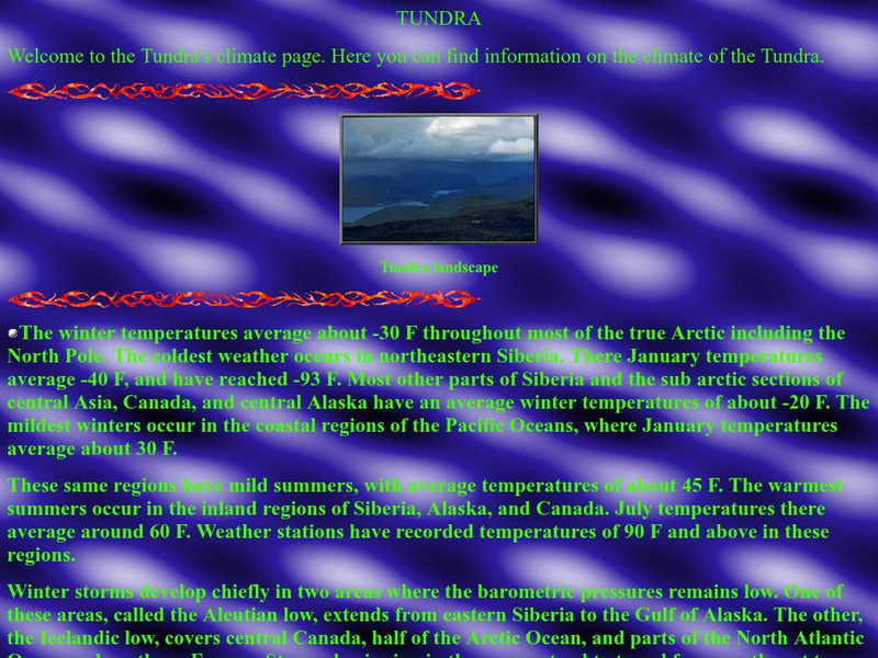
Thurston High School: The Tundra Climate
Site discusses and analyzes the daily weather in the tundra. Provides a map of the world that is color-coded to show the different biomes and systems of the world.
World Atlas
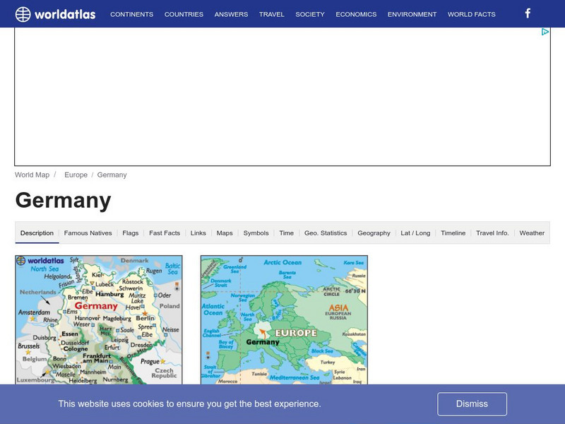
World Atlas: Germany
WorldAtlas.com looks at Germany, including quick facts and figures and many maps.
Other
The Weather Company: The Weather Underground
Source of weather maps, forecasts, images, and data for the world. Maps include temperature, radar, visibility, wind, heat index, wind chill, humidity, and dew point.
Curated OER
Cbc: The Great Human Odyssey: Homo Sapiens: Child of the Ice Age
A fascinating look at where humans came from. The interactive journey begins in Ethiopia over four million years ago with our ancestor, Ardipithecus ramidus. It continues at intervals along a timeline up to the present. The journey is...
The Wild Classroom
The Wild Classroom: Biomes of the World: Tropical Savanna Biome
Learn all about the Tropical Savanna biome. Find out about plants, animals, adaptations, and conservation efforts.
E-learning for Kids
E Learning for Kids: Science: Mexico: What Is a Habitat?
Sofia came back from a trip around the world. She noticed how each animal she saw belonged to a certain habitat. Help her learn about animal habitats and the species that live there.
Curated OER
Etc: Maps Etc: Population Distribution of Asia, 1921
A base map of Asia from 1921 showing the general population distribution of the region at the time. "The climate of southeastern Asia is so warm and moist that food plants grow there in abundance. Nearly half the people of the world live...
Curated OER
Educational Technology Clearinghouse: Maps Etc: North China, 1971
" North China includes the densely populated and intensively cultivated North China Plain, the loess-covered uplands of Shansi, northern Shensi, and eastern Kansu, and the sparsely populated, semiarid steppes of Inner Mongolia....
TeachEngineering
Teach Engineering: Renewable Energy Living Lab: Power Your School
Students use real-world data to calculate the potential for solar and wind energy generation at their school location. After examining maps and analyzing data from the online Renewable Energy Living Lab, they write recommendations as to...
National Geographic
National Geographic: To Build an Island
"This lesson gives students a basic overview of the geography of islands. They learn where islands are located throughout the world and will study two very different island groups (the Philippines and the British Isles) to illustrate the...
PBS
Nova: Earth in Peril
A series of nine maps with accompanying explanations. They show how population growth has affected the environment around the world in terms of water availability, climate change, land and forest use, and more. There are both interactive...
Adventure Learning Foundation
Adventure Learning Foundation: Argentina Expedition
Thorough, informative site about the country of Argentina. Besides factual information, this location also features a journal and photographs of the "World of Wonders" expedition.
Nations Online Project
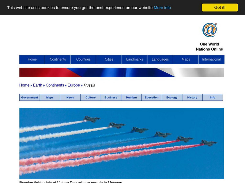
Nations Online: Russia
Offers a country profile and travel guide to the world's largest country of Russia, background overview, and numerous links to comprehensive information on the nation's culture, history, geography, economy, environment, tourism,...
Adventure Learning Foundation
Adventure Learning Foundation: Chile Expedition
Thorough, informative site about the country of Chile. Besides factual information, this location also features a journal and photographs of the "World of Wonders" expedition.
Nations Online Project
Nations Online: Monaco
Great reference source that takes you on a virtual trip to the second smallest independent state in the world, Monaco. Background overview is given on its art, culture, people, environment, geography, history, economy, and government....
Other
Maps of World: Chile Information, Geography and History
Get a brief idea about the various features related to Chile. Find detailed information on Chile's profile, geography and history, its people, its history, its flag, its economy, its culture - all have been covered in this section.
Curated OER
Thurston High School: The Tundra Climate
Site discusses and analyzes the daily weather in the tundra. Provides a map of the world that is color-coded to show the different biomes and systems of the world.
E-learning for Kids
E Learning for Kids: Antarctica: Penguins: What Are the Different Aspects of the Weather?
For this lesson, students learn about the different types of weather and the factors that impact them, including air pressure, humidity, sun and wind.
Tramline
Virtual Field Trip: Temperate Forest Biome
Travel with your students on a Virtual Field Trip to learn about Temperate Forest Biomes. You will also discover many informative and interactive websites.


