Curated OER
Focused Learning Lesson: World Geography
High schoolers examine the impact that humans have had on the environment and the difficulties the environment can cause. They also examine major physical changes as a result of human action or natural causes.
Curated OER
Identifying Island Countries
Learners discover the definition of an island and identify island countries around the world. In this geography lesson plan, students determine the characteristics of an island. Finally the learners will identify specific island...
Curated OER
I Am Freedom Bound!
Upper elementary and middle school learners engage in this awesome lesson plan on the Civil War. In it, they watch streamed video, perform Internet research, engage in hands-on activities, and use their geography skills to locate...
Curated OER
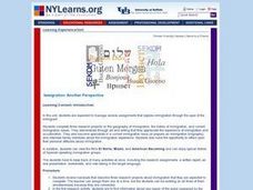
Immigration: Another Perspective
Students research the geography and history of immigration and then take a look at current immigration issues. They prepare biographies, conduct interviews, view films, sample foods, prepare an oral presentation, complete worksheets and...
Brooklyn Children’s Museum
Inside India
What can a Ganesh statue, hand ornament, and print block tell you about India? Introduce your learners to the geography, history, and culture of India by analyzing primary sources and using the well-designed worksheets provided in this...
Curated OER
Symbol Minds
Students examine the fears and frustrations of citizens in the tolerant Muslim nation of Indonesia during the holy month of Ramadan. They explore the symbols used in various world religions and create 3-dimensional displays for a class.
Curated OER
A World in Transition
Students explore the passing of United Nations Security Council Resolution 1397, which backs plans for the creation of a Palestinian state, as a springboard to investigating the history different countries that have been redefined in the...
Curated OER
A World Torn by Drugs
Students explore different drug issues that have affected international relations.
California Academy of Science
Discovering Rainforest Locations
How many rainforests are there, where are they, and do global factors effect their locations? These are great questions that have great answers. Children in grades four through eight use several different maps to determine why...
Redefining Progress
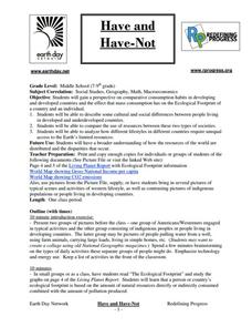
Have and Have-Not
Is there a correlation between a country's wealth and the extent of its ecological footprint? What exactly constitutes an ecological footprint, and how does one country stack up against the rest? This is a unique instructional activity...
Curated OER
Tropical Rainforests
Students create their own rainforest environment. This tropical rainforest lesson, introduces where rainforests are located, their real world connections, and their structural make up. It includes further resources online.
Curated OER
Mapping the Past
Middle schoolers study historical maps to view how the world evolved from medieval times through the Renaissance. They work in groups to examine the maps and present a report on one of the listed maps.
Curated OER
Continents and Critters
Students investigate and identify the continents of the world. They identify and locate the seven continents on a map, and label a coloring page of a world map. Students then conduct research on an assigned continent, and write and...
Curated OER
Name That Continent
Students practice locating the seven continents, four hemispheres, and four oceans using a large world map and a review song. They also import a world map to the Kid Pix computer program then type in proper labels on the map. There are...
Curated OER
Arkansas State Rock
Here is a lesson plan which shows the value of a mineral called bauxite to Arkansas during the early 1900's. Learners relate the five themes of geography to the history of bauxite and aluminum production in Arkansas. For teachers of...
Curated OER
A Wall for Peace?
Students give examples that demonstrate how people are connected to each other and the environment. They idnetify current or historic conflicts and explain how those conflicts are or were influenced by geography. Students explore about...
Curated OER
Timeline of Medical Innovations and Breakthroughs
Students identify on a time line and a world map where medical innovation/inventions line-up and originated. They collect information on various medical innovations/inventions using encyclopedias and medical research texts. Students make...
Curated OER
Point Me to Puerto Rico
Students research the physical features and geography of Puerto Rico as well as locate it on a world map and identify its major characteristics. Pictures and postcards are shown to each class for a visual connection to Puerto Rico as...
Curated OER
Lesson Plan on Latitude and Longitude
Sixth graders identify at least ten places on the world map using given longitude and latitude points. They identify the longitude and latitude of ten places on the world map.
Curated OER
Mapmakers' Perspective
Students examine several maps and consider mapmakers' perspective in early depictions of North America.They determine how the spherical shape of the earth makes any north-south and east-west orientation a matter of perspective. For...
Curated OER
What Do You Know About Oceans?
Students brainstorm and discuss what they know about oceans and seas, read poem My Ocean Speaks by Olga Cossi, discuss narrator's feelings about ocean, write reflective journal entries about their experience or inexperience with the...
Cornell University
Too Much of a Good Thing?
Continuing their study of beneficial insects, young entomologists discover where in the world some of these bugs are. By labeling, coloring, and using the scale on a map, pupils explore the territories and arrival of the Asian lady...
Curated OER
The Countries of Latin America
Fifth graders study the geography, culture, government and economy of Latin American countries. They work in groups to fill out a profile describing their Latin American country. They listen to a reading of Latin American folktales and...
Curated OER
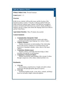
Ojala que viajemos a Mexico!
Students research the names and locations of Spanish speaking countries throughout the world. They use a world map to become familiar with the locations of these countries and use the Internet to conduct further research. They sing...
Other popular searches
- World War I Map
- Mapping Penny's World
- Map of the World
- World Outline Maps
- Blank Maps of World
- World War 2 Map
- World War 1 Maps
- World War I Outline Map
- Map of World
- World Climate Map
- Blank World Outline Maps
- World Biomes Map


