Curated OER
Malawi Political Map
Check out this great satellite image of Malawi from Google Earth. Scroll past the informative political map to see the image. There is more information about the country below the satellite map.
Curated OER
Namibia Political Map
Check out this great satellite image of Namibia from Google Earth. Scroll past the informative political map to see the image. There is more information about the country below the satellite map.
Curated OER
Swaziland Political Map
Check out this great satellite image of Swaziland from Google Earth. Scroll past the informative political map to see the image. There is more information about the country below the satellite map.
Curated OER
Zambia Political Map
Check out this great satellite image of Zambia from Google Earth. Scroll past the informative political map to see the image. There is more information about the country below the satellite map.
Curated OER
Cameroon Political Map
Check out this great satellite image of Cameroon from Google Earth. Scroll past the informative political map to see the image. There is more information about the country below the satellite map.
Curated OER
Gabon Political Map
Check out this great satellite image of Gabon from Google Earth. Scroll past the informative political map to see the image. There is more information about the country below the satellite map.
Curated OER
Chile Political Map
Check out this great satellite image of Chile from Google Earth. Scroll past the informative political map to see the image. There is more information about the country below the satellite map.
Curated OER
Argentina Political Map
Check out this great satellite image of Argentina from Google Earth. Scroll past the informative political map to see the image. There is more information about the country below the satellite map.
Curated OER
Ecuador Political Map
Check out this great satellite image of Ecuador from Google Earth. Scroll past the informative political map to see the image. There is more information about the country below the satellite map.
Curated OER
Peru Political Map
Check out this great satellite image of Peru from Google Earth. Scroll past the informative political map to see the image. There is more information about the country below the satellite map.
Curated OER
Burma Political Map
An easy to read political map of Burma. Be sure to scroll down to see a satellite image of Burma from Google Earth. You can also find some facts about Burma at the bottom of the page.
Geographyiq
Geography Iq
Detailed geographical information on any country is available at this site. Within the World Map section, you can get facts and figures about each country's geography, demographics, government, political system, flags, historical and...
Curated OER
Equatorial Guinea Political Map
Check out this great satellite image of Equatorial Guinea from Google Earth. Scroll past the informative political map to see the image. There is more information about the country below the satellite map.
Curated OER
Geology.com: Madagascar Map Madagascar Satellite Image
Check out this great satellite image of Madagascar from Google Earth. Scroll past the informative political map to see the image. There is more information about the country below the satellite map.
Curated OER
Brazil Political Map
Features a detailed colorful map of Brazil and Satellite image provided by Google Earth.
Curated OER
Guyana Political Map
Features a detailed map and satellite image of Guyana from Google Earth.
Curated OER
Suriname Political Map
Provides a detailed map and satellite image of Suriname from Google Earth.
Curated OER
Venezuela Political Map
Colorful detailed map and satellite image of Venezuela from Google Earth.
Other
Percentage of the World's Population Under Various Political Systems
Time-line graphs and maps give visual representations of countries and populations under various kinds of political systems: autocracy, monarchy, communist state, etc.
BBC
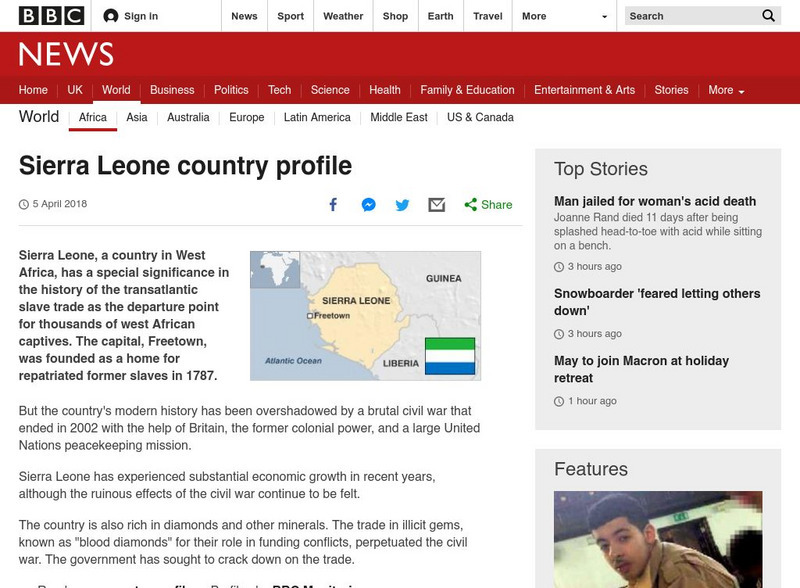
Bbc News: Sierra Leone
A profile of the African country of Sierra Leone. Topics include the usual country 'fast facts', plus history, political leaders, as well as a map of Sierra Leone. Links to related topics are included throughout the site.
Curated OER
Cbc News Interactive: Women in Politics
Peruse this interactive by CBC News to learn how Canada compares to the top ten countries and the G8 in terms of representation of women in government.
Curated OER
French Guiana Political Map
Features a detailed map and satellite image of French Guiana from Google Earth.
Curated OER
Geology.com: Kazakhstan Map Kazakhstan Satellite Image
Check out this great satellite image of Kazakhstan from Google Earth. Scroll past the informative political map to see the image. There is more information about the country below the satellite map.
Curated OER
Geology.com: Kyrgyzstan Map Kyrgyzstan Satellite Image
Check out this great satellite image of Kyrgyzstan from Google Earth. Scroll past the informative political map to see the image. There is more information about the country below the satellite map.
Other popular searches
- Political Map of World
- Blank World Political Map
- World Political Map Labeled
- Political Map of the World


