BBC
Bbc: News: Country Profile: Afghanistan
BBC News features a general overview of the South Asian country of Afghanistan. Focus is on history, country facts, political leaders, and news media. Provides links to a timeline of key events, recent news articles, and related internet...
BBC
Bbc: News: Country Profile: Kuwait
BBC News provides a general overview of the tiny Middle Eastern country of Kuwait, known for its oil production. Focus is on history, country facts, political leaders, and news media. Offers links to a timeline of key events, recent news...
BBC
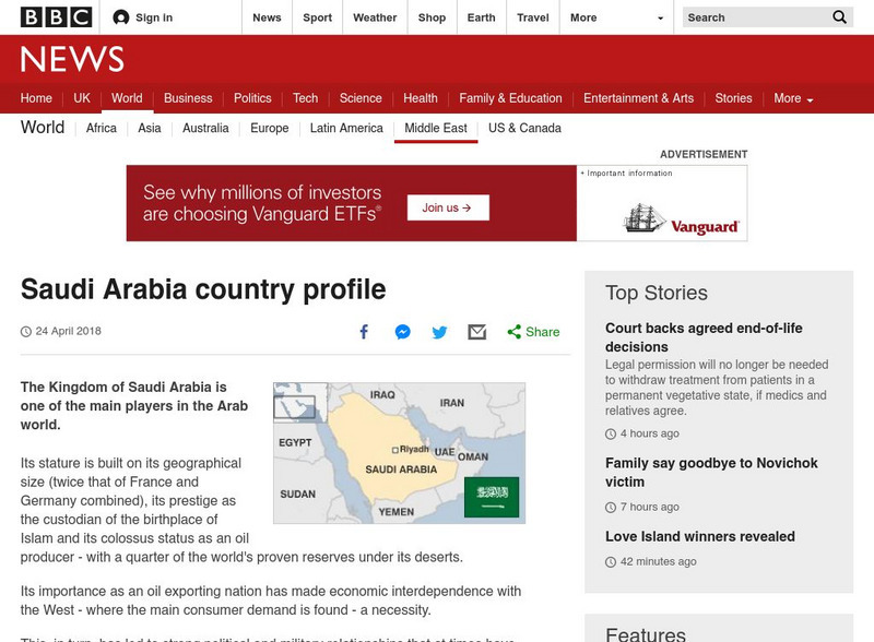
Bbc: News: Country Profile: Saudi Arabia
BBC News offers a general overview of the wealthy Middle Eastern country of Saudi Arabia. Focus is on history, current problems, country facts, political leaders, and news media. Provides links to a timeline of key events, recent news...
Curated OER
Etc: Maps Etc: Physical, Political, and Economic Asia, 1872
A map of Asia from 1872, showing physical features including mountain systems, deserts, lakes, rivers with direction of flow, coastal features, and ocean currents, political boundaries and foreign possessions at the time, and commercial...
Curated OER
Educational Technology Clearinghouse: Maps Etc: North China, 1971
" North China includes the densely populated and intensively cultivated North China Plain, the loess-covered uplands of Shansi, northern Shensi, and eastern Kansu, and the sparsely populated, semiarid steppes of Inner Mongolia....
Curated OER
Educational Technology Clearinghouse: Maps Etc: South America, 1921
A map from 1921 of South America showing the political boundaries of the time, major cities, railroads, terrain, rivers, and coastal features, and includes an insert map of the Galapagos Islands. " South America, the fourth largest grand...
Curated OER
Educational Technology Clearinghouse: Maps Etc: South America, 1906
A map of South America from 1906 showing the political boundaries of the time. The map shows capitals, major cities, ports, rivers, terrain and coastal features. An outline map of Pennsylvania at the same map scale is included to show...
Curated OER
Educational Technology Clearinghouse: Maps Etc: Italy, 1914 1919
A map from 1919 of Italy shortly after World War I. The map shows the 17 political divisions or Compartimenti, and the 69 provinces, and the northern boundaries at the time, including the territories of Trentino, Gorizia, Istria, and...
Virginia History Series
Virginia History Series: Virginia State History Wwii Era (1940 1948) [Pdf]
WWII awakened a massive development in Virginia from manufacturing to naval bases. Follow the course of the war through pictures, maps, charts and political cartoons. Visualize life in America and abroad during the war.
Curated OER
Map of Greenland
BBC News offers a general overview of Greenland, the world's largest island. Focus is on history, country facts, political leaders, and news media. Provides links to a timeline of key events, recent news articles, and related internet...
Curated OER
Etc: Comparative Projections of Asia, 1800 1899
A map using comparative map projections of Asia, as part of a hemisphere and on a Mercator's projection, to illustrate European misconceptions of land claims during territorial colonialism. In the 19th century, European powers were...
Curated OER
Madagascar Satellite Photo
Check out this great satellite image of Madagascar from Google Earth. Scroll past the informative political map to see the image. There is more information about the country below the satellite map.
Annenberg Foundation
Annenberg Learner: Dagestan Timeline
A timeline using historical maps shows the confluence of Islam and Russian rule in the area known as Dagestan. Follow the development of Islamic political entities in the area of present-day Dagestan.
Other
Escolar: Mapas De Continentes, Mapas Politicos Y Mapas De Paises
Check out this sizable selection of different maps of continents, countries, and states. Each page will give you additional information about the particular country or state.
Other
Metrocosm: A Tangled Web of Alliances
Jefferson and Washington warned future Americans about entangling our country in too many alliances. Since WWII, we have largely ignored this advice. View our defense pacts, along with the rest of the world, on this map that resembles a...
Curated OER
Kazakhstan Satellite Photo
Check out this great satellite image of Kazakhstan from Google Earth. Scroll past the informative political map to see the image. There is more information about the country below the satellite map.
Curated OER
Kyrgyzstan Satellite Photo
Check out this great satellite image of Kyrgyzstan from Google Earth. Scroll past the informative political map to see the image. There is more information about the country below the satellite map.
Curated OER
China Satellite Photo
Check out this great satellite image of China from Google Earth. Scroll past the informative political map to see the image. There is more information about the country below the satellite map.
Curated OER
Kuwait Satellite Photo
Check out this great satellite image of Kuwait from Google Earth. Scroll past the informative political map to see the image. There is more information about the country below the satellite map.
Curated OER
Albania Satellite Photo
Check out this great satellite image of Albania from Google Earth. Scroll past the informative political map to see the image. There is more information about the country below the satellite map.
Curated OER
Angola Satellite Photo
Check out this great satellite image of Angola from Google Earth. Scroll past the informative political map to see the image. There is more information about the country below the satellite map.
Curated OER
Botswana Satellite Photo
Check out this great satellite image of Botswana from Google Earth. Scroll past the informative political map to see the image. There is more information about the country below the satellite map.
Curated OER
Lesotho Satellite Photo
Check out this great satellite image of Lesotho from Google Earth. Scroll past the informative political map to see the image. There is more information about the country below the satellite map.
Other popular searches
- Political Map of World
- Blank World Political Map
- World Political Map Labeled
- Political Map of the World


