Curated OER
Indiana Tornado Project
Students become familiar with the use of GIS for research, natural phenomena in Indiana, and analyzing collected information.
Curated OER
America the Beautiful
Young scholars listen to a read-aloud discussing the landmarks of the United States. In pairs, they use the internet to research a landmark of their choice. They create a visual aid to be given with a presentation sharing the...
Curated OER
Pollution Solution
Fourth graders examine how trees help to absorb the pollution that is emitted from automobiles. They review the process of photosynthesis and determine how forest management is important on their reservation. They think about the...
Curated OER
The Arctic and Taiga Ecozone of Canada
Students discover the differences in the Arctic and Taiga regions of Canada. They identify physical and human characteristics of both region. They also practice using an atlas.
Curated OER
The Arctic and Taiga Ecozone of Canada
Students examine the various sub-regions of the Arctic and Taiga zones in Canada. Using the online Canadian Atlas, they locate and describe the characteristics of each zone. They organize their information into a chart and share it with...
Geographypods
Geographypods: Theme 1: Population and Settlement
A rich collection of highly engaging learning modules on topics related to population and settlement. Covers six main areas - population growth, population change, population migration, land use, settlement characteristics and patterns,...
Other
Population Reference Bureau: Country Stats & Reports
This site from the Population Reference Bureau could actually be considered a search engine or the beginning page of a data base. It is a thorough source of information on global population including hyperlinks to organizational sources,...
Population Connection
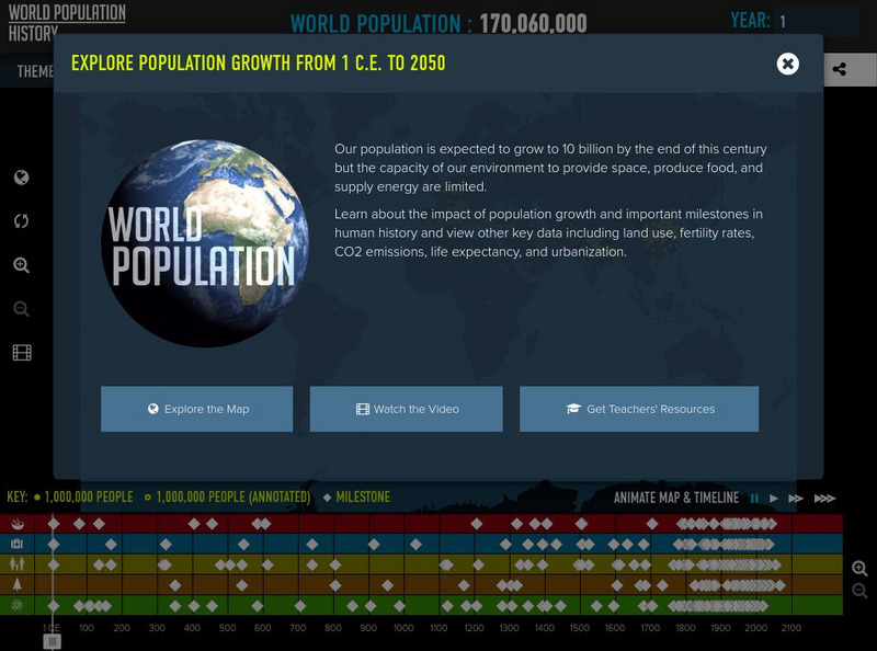
Population Connection: World Population History
Explore the peopling of our planet from multiple perspectives- historical, environmental, social, and political.
BSCS Science Learning
Bscs: Global Night Sky Comparison
This inquiry invites students to investigate human impacts on the environment. Specifically, students will examine the relationship between human population, light pollution, and how brightly celestial objects like stars appear in the...
Other
Population Reference Bureau: The World at 7 Billion
This interactive map offers statistical data on population, birth and deaths, life expectancy, HIV/AIDS, family planning, and poverty across the world in 2011. The information is also available as a table for all topics. A fascinating...
Annenberg Foundation
Annenberg Learner: Journey North: A Global Study of Wildlife Migration and Seasonal Change
Here you can view maps showing the migratory paths of dozens of animals across the northern hemisphere, report a sighting of one of the animals listed in the database, and much more.
Other
Mapping Worlds: Show World: A New Way to Look at the World
This unique combination of data, demographics and innovative visuals resizes countries on a world map in relation to a menu of insightful data-driven topics, such number of deaths from cancer or amount of steel produced, giving us a new...
PBS
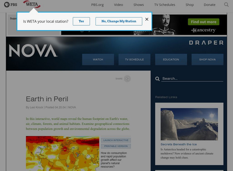
Nova: Earth in Peril
A series of nine maps with accompanying explanations. They show how population growth has affected the environment around the world in terms of water availability, climate change, land and forest use, and more. There are both interactive...
Geographyiq
Geography Iq
Detailed geographical information on any country is available at this site. Within the World Map section, you can get facts and figures about each country's geography, demographics, government, political system, flags, historical and...
Climate Literacy
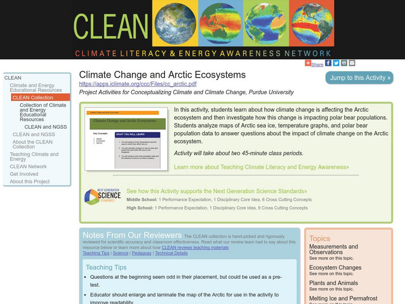
Clean: Climate Change and Arctic Ecosystems
Students learn about how climate change is affecting the Arctic ecosystem, and then investigate how this change is impacting polar bear populations. Students analyze maps of Arctic sea ice, temperature graphs, and polar bear population...
Curated OER
Animated Map of Human Population
This animated map shows world population growth from the year 1 to 2020 A.D. Note the changing years as you observe the growth on a map of the world.
University of Minnesota
University of Minnesota: Urbanization & Migration in the Developing World
This lesson presents the scale of recent urbanization in different global regions and the diverse roles that migrants play in contributing to urbanization. The following graph, map, video, and news report provide a general overview of...
Other
Climate Central: Surging Seas
An interactive map that shows how areas will be effective by rising sea levels. See the flooding risks down to the neighborhood. Also find statistics of affected populations, homes and lands. There is also factsheets, widgets, and action...


