Curated OER
World War I: Letters from the Front
Students reesearch life on the home front and the front lines during World War I. They use primary and secondary sources to write letters. Students role-play as soldiers writing letters home and then assume the role of the person...
Curated OER
Laurence of Arabia
Students critically examine the life and contributions of Lawrence of Arabia to the modern Middle East. They view a video on Laurence of Arabia. Students discuss the movie. Students create a propaganda posters or stories identifying...
Curated OER
Map Skills
Students examine the nations, battlefields, troop movement of the Germans through Belgium and the location of both fronts during World War I by creating a map. They visualize the strength of the Germans early in the war.
Curated OER
The Russian Revolution
Students complete a matching game based on geographic features of Russia and label a map with these features. In this geography and politics lesson, students identify resources and populations in Russia and complete a T-Chart on a video...
Other
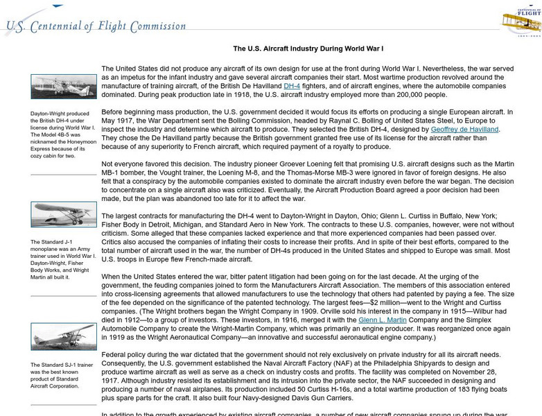
U.s. Centennial of Flight Commission: The u.s. Aircraft Industry During Wwi
A good essay on the development of the airline industry in the United States as a result of World War I. Many companies worked on airplane design, but few survived after the war.
Georgia Department of Education
Ga Virtual Learning: 20th Century and Modern Poetry: World War I
This lesson from a unit on 20th Century and Modern Poetry focuses on World War I and war poetry that resulted from the disillusionment and cynicism due to the high casualties and devastation. It features links to the Causes of World War...
Curated OER
Educational Technology Clearinghouse: Maps Etc: Africa After Wwi, 1921
Political map of Africa shortly after WWI showing boundary changes, including losses of German territory after the Treaty of Versailles. German Southwest Africa is shown as part of the Union of South Africa, and German East Africa is...
Curated OER
Educational Technology Clearinghouse: Maps Etc: Europe, Post Wwi, 1920
Map of Central and Western Europe after the Treaty of Versailles at the end of WWI. The map includes railroads, canals, shipping routes, major cities and capitals, and the country boundaries established by the Treaties of Versailles,...
Curated OER
Educational Technology Clearinghouse: Maps Etc: Post Wwi Africa, 1920
A political map of Africa in 1920 showing colonial possessions of the British, French, Italian, Portuguese, Spanish, and Belgians, including the former German colonies, lost after WWI, per the Treaty of Versailles.
Curated OER
Educational Technology Clearinghouse: Maps Etc: Post Wwi Africa, 1920
A map of Africa in 1920 showing colonial possessions of the British, French, Italian, Portuguese, Spanish, and Belgians, including the former German colonies, lost after WWI, per the Treaty of Versailles. This map shows major cities and...
Curated OER
Educational Technology Clearinghouse: Maps Etc: Africa After Wwi, 1919
A map of all German colonies and possessions in Africa ceded to the Allies in the Treaty of Versailles at the close of WWI.
Curated OER
Educational Technology Clearinghouse: Maps Etc: Africa Prior to Wwi, 1914
A political sketch map of Africa just prior to WWI in 1914, showing the colonial possessions of European powers established at the Berlin Conference of 1885. The map shows the territorial claims of the British, French, German,...
Curated OER
Educational Technology Clearinghouse: Maps Etc: Post Wwi Northern Africa, 1920
A political map of the northern part of the African continent after WWI with reference to territories controlled by European countries and showing the former German territories ceded by the Treaty of Versailles to France and Britain....
Have Fun With History
Have Fun With History: World War 1
Learning module on World War One with links to resources such as museums and videos on WWI soldiers, songs and general historical information.
First World War
First World War: Weapons of War
Part of a larger site on WWI, Weapons of War gives a detailed review of weapon technology. Thorough information is provided on bayonets, flamethrowers, grenades, machine guns, pistols, poison gas, rifles, tanks, and trench mortars.
Alabama Learning Exchange
Alex: Weapons of World War I
The middle schoolers will use the Internet and the school's media center to discover the weapons of World War I. They will compare and contrast the weapons used during that time period with the weapons that are used in warfare today. At...
Curated OER
Educational Technology Clearinghouse: Maps Etc: Africa, 1920
A map of Africa in 1920 showing colonial possessions of the British, French, Italian, Portuguese, Spanish, and Belgians, including the former German colonies, lost after WWI, to French and British control per the Treaty of Versailles.
Curated OER
Educational Technology Clearinghouse: Maps Etc: Austria Hungary, 1920
A map of Austria-Hungary in 1920, showing railroads, canals, and submarine telegraph lines. This map shows the partition of the Austro-Hungarian territories after WWI, showing the new boundaries established by the Treaty of Saint...
Curated OER
Educational Technology Clearinghouse: Maps Etc: Austria and Hungary, 1920
A map of the former Austria-Hungary after the Treaty of Versailles following WWI, showing pre-war and post-war boundary changes. The map shows the new boundaries of Czechoslovakia and Jugoslavia, the losses to Poland, Ukraine, Romania,...
Curated OER
Educational Technology Clearinghouse: Maps Etc: Europe, 1920
Map of Central and Western Europe after the Treaty of Versailles at the end of WWI. The map includes railroads, canals, shipping routes, major cities and capitals, and the country boundaries established by the Treaties of Versailles,...
Curated OER
Educational Technology Clearinghouse: Maps Etc: Central and Western Europe, 1920
Map of Central and Western Europe after the Treaty of Versailles at the end of WWI. The map includes railroads, canals, major cities and capitals, and the country boundaries established by the Treaties of Versailles, proposed boundaries...
Curated OER
Educational Technology Clearinghouse: Maps Etc: Germany, 1871 1914
A map of Germany, from 1871 after the Franco-Prussian War and creation of the German Empire, to 1914 and the beginning of WWI. The map shows the German and Prussian territories unified by Otto von Bismarck, including major cities and...
First World War
First World war.com: Encyclopedia Observation Balloons
Describes how observation balloons were used during World War I, the dangers of piloting one, and difficulties the enemy faced in trying to bring one down.


