Curated OER
Etc: The Expanding United States, 1865 1898
A sketch map from 1899 of the western United States showing the present state boundaries (dashed lines) and states proposed between 1865 and 1898 (solid lines), including the states Yellowstone, Wallowa, West Dakota, South Colorado, and...
Curated OER
Educational Technology Clearinghouse: Maps Etc: Wyoming, 1892
A map from 1892 of Wyoming showing the capital, Cheyenne, counties and county seats, principal cities and towns, railroads, mountains, rivers, and Yellowstone National Park.
Curated OER
Educational Technology Clearinghouse: Maps Etc: Wyoming, 1909
A map from 1909 of Wyoming showing the capital, Cheyenne, principal cities and towns, Indian reservations, railroads, mountains, lakes, rivers, and Yellowstone National Park.
Curated OER
Educational Technology Clearinghouse: Maps Etc: Wyoming, 1920
A map from 1920 of Wyoming showing the capital, Cheyenne, counties and county seats, Indian reservations, principal cities and towns, railroads, mountains, lakes, rivers, and the Yellowstone National Park.
Curated OER
Educational Technology Clearinghouse: Maps Etc: Wyoming, 1920
A map from 1920 of Wyoming showing the capital, Cheyenne, counties and county seats, Indian reservations, principal cities and towns, railroads, military reservations, mountains, rivers, and the Yellowstone National Park.
Curated OER
Educational Technology Clearinghouse: Maps Etc: Wyoming, 1914
A map from 1914 of Wyoming showing the capital, Cheyenne, counties and county seats, Indian reservations, principal cities and towns, railroads, mountains, rivers, and the Yellowstone National Park. A grid reference in the margin of the...
Curated OER
Educational Technology Clearinghouse: Maps Etc: Wyoming, 1920
A map from 1920 of Wyoming showing the capital, Cheyenne, counties and county seats, Indian reservations, principal cities and towns, railroads, military reservations, mountains, rivers, and the Yellowstone National Park. A grid...
Curated OER
Educational Technology Clearinghouse: Maps Etc: Absaroka Range, 1911
A contour map from 1911 showing the topography of the Absaroka Range 10 miles east of Yellowstone National Park.
Curated OER
Wikipedia: National Historic Landmarks in Montana: Northeast Entrance Station
Rustic entrance station built in 1935 that is a prime example of form fitting function, in Yellowstone National Park.
Curated OER
Educational Technology Clearinghouse: Clip Art Etc: William Ludlow
William Ludlow was an officer in the Corps of Engineers and a major general in the United States Army who served in the Civil War and led a scientific expedition examining the natural wonders of Yellowstone National Park.
The History Place
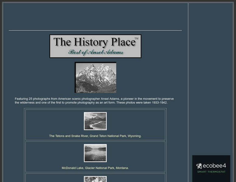
The History Place: Best of Ansel Adams
Here at "The History Place" is an online exhibit of 25 black and white photographs by Ansel Adams. A very interesting place to view his best work, and worth checking out.
Science4Fun
Science4 Fun: Geysers
Interesting information about geysers including where they are located and how they are formed and erupt.
Other popular searches
- Yellowstone National Park
- Yellowstone Wolves
- Yellowstone Park
- Yellowstone Volcano
- Yellowstone Expeditions
- Wolves in Yellowstone
- Yellowstone Caldera
- Yellowstone Will It Erupt
- Hiking in Yellowstone
- Yellowstone Canyon
- Yellowstone Thomas Moran
- Yellowstone Power Point


