Oswego City School District
Regents Exam Prep Center: Working on a Rescue Team Lab
Your students are part of the Yellowstone National Park rescue team which has just been dispatched to help located a downed plane. How can they effectively use the Law of Sines and the Law of Cosines to assist them in finding the plane?...
Read Works
Read Works: Return of the Bear
[Free Registration/Login Required] An informational text about the increasing population of the endangered grizzly bear. A question sheet is available to help students build skills in reading comprehension.
Library of Congress
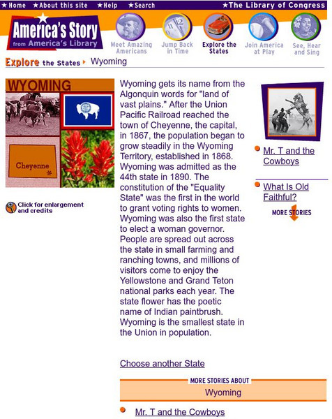
Loc: America's Story: Wyoming
Come and find out why so many people travel to see "Old Faithful." Do you know which state has the smallest population? Use this site to discover the unique characteristics of Wyoming.
Curated OER
Educational Technology Clearinghouse: Maps Etc: Idaho, 1906
A map from 1906 of Idaho showing the capital city Boise, towns, railroads, reservation boundaries, the boundary of Yellowstone National Park, mountain systems, lakes, and rivers.
Curated OER
Educational Technology Clearinghouse: Maps Etc: Montana, 1906
A map from 1906 of Montana showing the capital of Helena, major cities and towns, Indian reservations, railroads, rivers, and mountains. The boundaries of Yellowstone National Park, primarily in Wyoming, are shown.
Curated OER
Educational Technology Clearinghouse: Maps Etc: Montana, 1922
A map from 1922 of Montana showing the capital of Helena, major cities and towns, Indian reservations, railroads, rivers, and mountains. The boundaries of Yellowstone National Park, primarily in Wyoming, are shown.
Curated OER
Educational Technology Clearinghouse: Maps Etc: Montana, 1891
A map from 1922 of Montana showing the capital of Helena, major cities and towns, Indian reservations, railroads, rivers, lakes, and mountains. The boundaries of Yellowstone National Park, primarily in Wyoming, are shown.
Curated OER
Educational Technology Clearinghouse: Maps Etc: Montana, 1909
A map from 1909 of Montana showing the capital of Helena, major cities and towns, Indian reservations, railroads, rivers, lakes, and mountains. The boundaries of Yellowstone National Park, primarily in Wyoming, are shown.
Curated OER
Educational Technology Clearinghouse: Maps Etc: Montana, 1892
A map from 1892 of Montana showing the capital of Helena, counties and county seats, major cities and towns, Indian reservations, railroads, rivers, and mountains. An inset map details Yellowstone National Park, primarily in Wyoming.
Curated OER
Educational Technology Clearinghouse: Maps Etc: Montana, 1919
A map from 1919 of Montana showing the capital of Helena, counties and county seats, major cities and towns, Indian reservations, railroads, rivers, and mountains. An inset map details Yellowstone National Park, primarily in Wyoming.
Curated OER
Educational Technology Clearinghouse: Maps Etc: Montana, 1920
A map from 1920 of Montana showing the capital of Helena, counties and county seats, major cities and towns, Indian reservations, railroads, rivers, and mountains. The boundaries of Yellowstone National Park, primarily in Wyoming, are...
Curated OER
Educational Technology Clearinghouse: Maps Etc: Montana, 1920
A map from 1920 of Montana showing the capital of Helena, counties and county seats, major cities and towns, Indian reservations, military reservations, railroads, rivers, and mountains. The boundaries of Yellowstone National Park,...
Curated OER
Educational Technology Clearinghouse: Maps Etc: Montana, 1914
A map from 1914 of Montana showing the capital of Helena, counties and county seats, major cities and towns, Indian reservations, military reservations, railroads, rivers, and mountains. An inset map details Yellowstone National Park,...
Curated OER
Educational Technology Clearinghouse: Maps Etc: Montana, 1920
A map from 1920 of Montana showing the capital of Helena, counties and county seats, major cities and towns, Indian reservations, military reservations, railroads, rivers, and mountains. The boundaries of Yellowstone National Park,...
Curated OER
Educational Technology Clearinghouse: Maps Etc: Montana, 1904
A map from 1904 of Montana showing the capital of Helena, major cities and towns, railroads, rivers, and mountains. The boundaries of Yellowstone National Park, primarily in Wyoming, are shown. "Montana was organized as a Territory in...
Curated OER
Educational Technology Clearinghouse: Maps Etc: United States of America, 1883
A map from 1883 of the 'lower forty-eight’ United States showing state boundaries and state capitals, major cities and towns, mountain systems, lakes, rivers, and coastal features. The map shows Yellowstone National Park, the first in...
Curated OER
Educational Technology Clearinghouse: Maps Etc: Wyoming, 1892
A map from 1892 of Wyoming showing the capital, Cheyenne, counties and county seats, principal cities and towns, railroads, mountains, rivers, and Yellowstone National Park.
Curated OER
Educational Technology Clearinghouse: Maps Etc: Wyoming, 1909
A map from 1909 of Wyoming showing the capital, Cheyenne, principal cities and towns, Indian reservations, railroads, mountains, lakes, rivers, and Yellowstone National Park.
Curated OER
Educational Technology Clearinghouse: Maps Etc: Wyoming, 1920
A map from 1920 of Wyoming showing the capital, Cheyenne, counties and county seats, Indian reservations, principal cities and towns, railroads, mountains, lakes, rivers, and the Yellowstone National Park.
Curated OER
Educational Technology Clearinghouse: Maps Etc: Wyoming, 1920
A map from 1920 of Wyoming showing the capital, Cheyenne, counties and county seats, Indian reservations, principal cities and towns, railroads, military reservations, mountains, rivers, and the Yellowstone National Park.
Curated OER
Educational Technology Clearinghouse: Maps Etc: Wyoming, 1914
A map from 1914 of Wyoming showing the capital, Cheyenne, counties and county seats, Indian reservations, principal cities and towns, railroads, mountains, rivers, and the Yellowstone National Park. A grid reference in the margin of the...
Curated OER
Educational Technology Clearinghouse: Maps Etc: Wyoming, 1920
A map from 1920 of Wyoming showing the capital, Cheyenne, counties and county seats, Indian reservations, principal cities and towns, railroads, military reservations, mountains, rivers, and the Yellowstone National Park. A grid...
Curated OER
Educational Technology Clearinghouse: Maps Etc: Absaroka Range, 1911
A contour map from 1911 showing the topography of the Absaroka Range 10 miles east of Yellowstone National Park.
Curated OER
Educational Technology Clearinghouse: Clip Art Etc: William Ludlow
William Ludlow was an officer in the Corps of Engineers and a major general in the United States Army who served in the Civil War and led a scientific expedition examining the natural wonders of Yellowstone National Park.


