US Geological Survey
Hawaiian Volcano Observatory: Mauna Loa Earth's Largest Volcano
Mauna Loa means long mountain, and it is the largest and most active volcano on earth. Get some good overall facts regarding this infamous volcano.
US Geological Survey
Usgs: Earthquakes Frequently Asked Questions
Use this resource to find answers to frequently asked questions about earthquakes.
US Geological Survey
U.s. Geological Survey: Search
The U.S. Geological Survey offers information for teachers and students interested on Earth Science research. Contains references to general information as well as current research and events.
US Geological Survey
U.s. Geological Survey: Today in Earthquake History
Updated daily, this page describes any notable earthquakes that happened on this day in history. Each earthquake has a link to more information about what happened on that particular day.
US Geological Survey
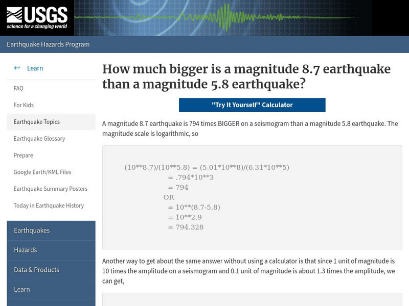
U.s. Geological Survey: How Much Bigger?
This resource provides information about the magnitude scale, and allows users to try to figure out the difference between earthquake sizes.
US Geological Survey
Usgs: Real Time Water Data for the Nation
This interactive map of the US allows you to select among numerous streams and rivers to determine their current flow rate.
US Geological Survey
Usgs: Tsunami & Earthquake Research
The USGS provides an extensive section of information about tsunamis. The items presented are the basics of tsunamis regarding the Great San Francisco earthquake of April 18, 1906, tsunamis in the U.S. Pacific Northwest, and the 1998...
US Geological Survey
Usgs: The Himalayas: Two Continents Collide
This site from the U.S. Geological Survey explains how the Himalayas were formed by plate-tectonic forces. Includes a nice map to help visualize the theory.
US Geological Survey
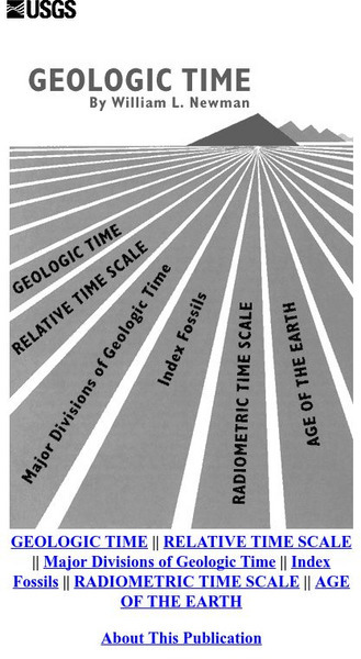
Usgs: Geologic Time
This large U.S. Geological Survey site offers a look at the age of the earth, how radiometric dating is used to calculate it, the major divisions of geologic time, and the classification and use of fossils.
US Geological Survey
Usgs: The Interior of the Earth
This site provides a detailed discussion of the Earth's interior. Facts about the crust, mantle, and core are given along with diagrams of each. Also presents a table that lists the thickness and types of rock found in each part of the...
US Geological Survey
Usgs: Earth's Water Surface Water
This site has everything you might want to know about surface water and things you probably didn't even imagine! Click Home to access the site in Spanish.
US Geological Survey
U.s. Geological Survey: Where Is Earth's Water Located?
Find out how much of the water on Earth is actually usable by humans, and where the rest of it is located. Learn where our water comes from and why it never runs out. Click Home to access the site in Spanish.
US Geological Survey
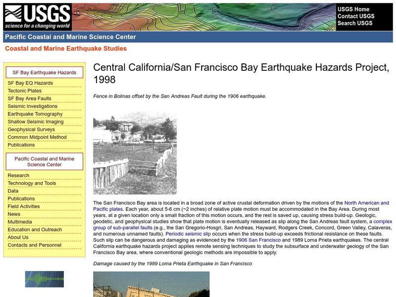
Central California Earthquake Hazards Project
Here is a review of the geology behind earthquakes and what is being done to predict the "Big One" on the San Andreas Fault.
US Geological Survey
U.s. Geological Survey: Connect the Dots With Science
Connect-the-dots science pages providing useful and helpful information regarding pollinators, endangered species, and invasive species. [PDF] Links to other handy tools, including coloring pages, trivia, stories, games and fun projects.
US Geological Survey
Usgs: Photo Glossary
A glossary of geological terms with photos to accompany definition.
US Geological Survey
Usgs: Water Quality of San Francisco Bay
This resource from the United State Geological Survey provides data about San Francisco Bay's water quality. Data is displayed in time series plots, vertical profiles, longitudinal sections, space and time contours, and x-y scatter plots.
US Geological Survey
Us Geological Survey: Saturn Satellites
This resource provides images of Saturns satellites.
US Geological Survey
United States Geological Survey: Apollo Mission Lunar Panoramas
View interactive panoramic views taken by Apollo missions 11, 12, 14, 16 and 17. You can zoom in on each panoramic to see more detail.
US Geological Survey
Usgs: Energy Resources Program
Find the latest research and publications on the subject of energy, in particular: oil, gas and coal resources.
US Geological Survey
Usgs: Mount St. Helens Elevation
See a three-sixty view of the post-eruption elevation of Mount Saint Helens.
US Geological Survey
Usgs: Schoolyard Geology
The purpose of this lesson plan is to provide teachers with some activities they can do on school grounds. Activities include mapping, describing sedimentary rocks, and solving a mystery.
US Geological Survey
U.s. Geological Survey: The Water Cycle: The Oceans
Through pictures, diagrams, and charts, learn how the ocean serves as a storehouse of water.
US Geological Survey
U.s. Geological Survey: Saline Water
Information about saline water use in the United States.
US Geological Survey
Usgs: Water Science for Schools Pesticides Ground Water
This US Geological Survey site briefly discusses the basics of why pesticides are increasingly found in our ground water. Click Home to access the site in Spanish.


