US Geological Survey
Usgs: "Thirsty? How 'Bout Seawater?"
This U.S. Geological Survey website explains the desalinization method used by some communities to change sea water into drinking water. Click Home to access the site in Spanish.
US Geological Survey
Usgs: Water Science for Schools Why Is the Ocean Salty?
This U.S. Geological Survey website offers one explanation of why the ocean is salty. Click Home to access the site in Spanish.
US Geological Survey
Usgs: Ground Water Aquifers
Resource is a brief explanation of an aquifer and how they work. This article also touches upon artesian wells. A picture and a fun activity to illustrate the concept of an artesian well are included. Click Home to access the site in...
US Geological Survey
Usgs: Capillary Action
Capillary is described and explained. It is related to surface tension. Examples in botany and human physiology are given.
US Geological Survey
Usgs: Water Science for Schools Uses of Saline Water
This U.S. Geological Survey website explains a variety of uses for saline water. Pie graphs and bar graphs are used to illustrate the various uses. Click Home to access the site in Spanish.
US Geological Survey
Usgs Earth's Water: Rivers and the Landscape
Describes the formation of rivers and the transport of soil and sediment. Links to related material is provided within the text.
US Geological Survey
Usgs: Trends in Ground Water Use, 1950 2005
This site from USGS describes the importance of ground-water, provides a map of ground-water use (by state), a map of the percent of total withdrawals coming from ground water, and a map of the percent of public-supplied population...
US Geological Survey
Us Geological Survey: Glaciers and Ice Caps: Storehouses of Fresh Water
Locate glaciers and ice caps on a world map at this USGS site. Read about the formation of galciers and other interesting facts. Learn about the effects glaciers have on the landscape, and of their importance for our fresh water supplies.
US Geological Survey
Us Geological Survey: South Cascade Glacier
Learn about the history, mass balance, and meteorological data of the South Cascade Glacier. View several photos of the South Cascade Glacier.
US Geological Survey
Usgs: Manganese
A detailed listing of available government reports on magnesium ores and minerals. Lots of information is accessible through thee links.
US Geological Survey
U.s. Geological Survey: Indium
A listing of PDF files on indium and its mining and sources. Check out this great resource!
US Geological Survey
U.s. Geological Survey: Chromium
The U.S. Geological Survey offers a complete listing of PDF files and references on chromium, stressing the mineralogical and geological aspects of this element.
US Geological Survey
Usgs: Niobium
Excellent source from USGS of information for resources on this metal and its geological and mineralogical aspects.
US Geological Survey
U.s. Geological Survey: Antimony
This site from the U.S. Geological Survey is an extremely thorough source of information for mineral and industry commodity research pertaining to antimony.
US Geological Survey
Usgs: Aluminum Statistics and Information
This site provides a brief overview of aluminum, as well as reports and publications dating back to 1995 concerning the usage of aluminium in the mineral industry.
US Geological Survey
U.s. Geological Survey: Mud Fossils
Two part lesson allows for students to observe real fossils then make and recover their own fossils using mud.
US Geological Survey
U.s. Geological Survey: Minerals Information
The USGS offers maps of the locations of mines and mineral processing plants. You can find the sources for everything from aluminum to zircon!
US Geological Survey
Usgs: Perlite Statistics and Information
The USGS presents Perlite statistics and information. Includes annual publications, contacts, and resources.
US Geological Survey
Usgs: Erosion of a Sea Stack Over 100 Years
This series of photos dramatically illustrates the process of mechanical weathering known as rock abrasion. Taken over a 100 year span, you can see the effects of rock abrasion on Jump-off Joe, a sea stack at Nye Beach in Oregon. The...
US Geological Survey
Usgs: All of Earth's Water in a Single Sphere!
See how all of Earth's water compares to the total size of the Earth.
US Geological Survey
Usgs: How Much Water Is There on (And In) the Earth?
The USGS gives an overview of the amount of water on Earth and where it is located. It gives a few interesting facts about the Earth's supply of water. Click Home to access the site in Spanish.
US Geological Survey
Usgs: Plate Tectonics, Hot Spots, and Ring of Fire: World Map
A world map featuring active volcanoes, plate tectonics, hot spots, and ring of fire.
US Geological Survey
U.s. Geological Survey: What Causes Earthquakes?
USGS provides the definition of a fault, the basics of earthquakes, the theory of plate tectonics, location of plates and earthquakes, and embedded links to related material.
US Geological Survey
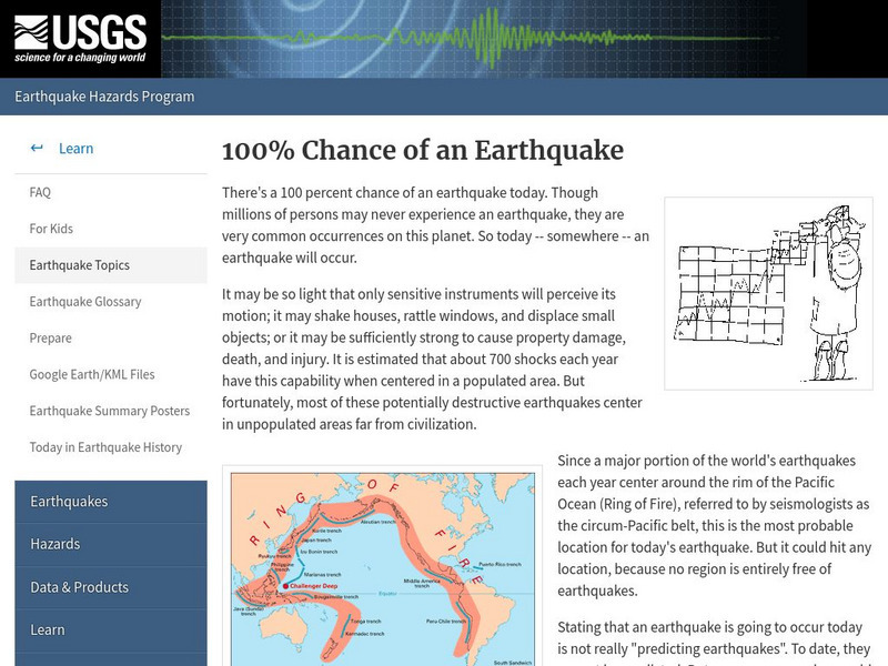
U.s. Geological Survey: 100 Percent Chance of an Earthquake
Did you know there is an earthquake somewhere on Earth every day? Read about this very common Earth event.


