US Geological Survey
U.s. Geological Survey: Earthquake Science Fair Project Ideas
Twenty earthquake-related science fair project ideas. Each idea has a short description of a possible investigation.
US Geological Survey
Usgs: Volcano Photo Glossary
Excellent glossary provides not only a definition of volcano terms but also a color photo of the term.
US Geological Survey
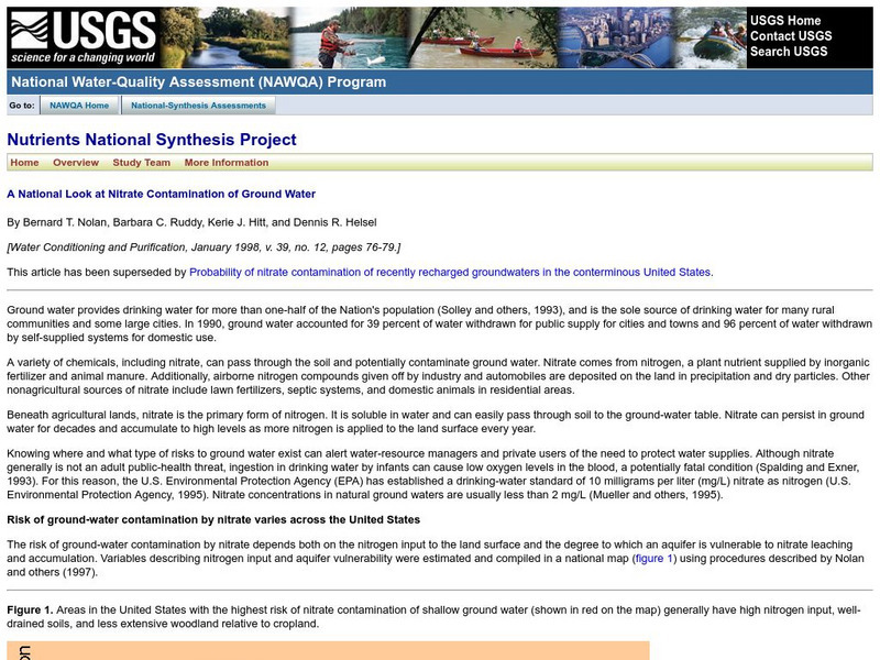
Usgs: A National Look at Nitrate Contamination of Ground Water
This site features a map of the United States which indicates areas with the highest risk of nitrate contamination in ground water. Links to a description of ground water contamination in U.S.
US Geological Survey
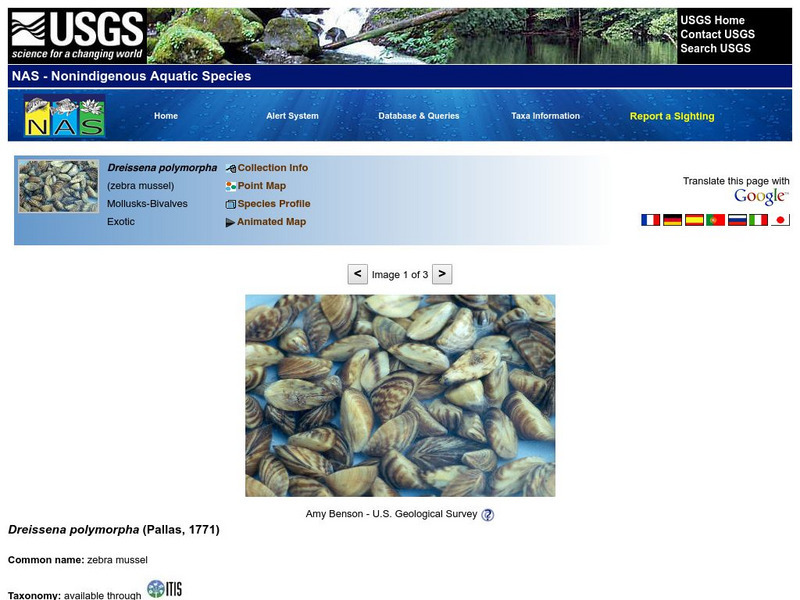
U.s Geological Survey: Nonindigenous Aquatic Species (Nas): Zebra Mussel
A detailed site that describes the physical characteristics of the zebra mussel, provides a map that depicts the native range of this shellfish, discusses the means of introduction into our country, and delves into the impact of this...
US Geological Survey
Usgs: Water Science School:water Quality
Learn about the importance of water quality and environmental influences that reduce it.
US Geological Survey
U.s. Geological Survey: Connect the Dots With Science
Connect-the-dots science pages providing useful and helpful information regarding pollinators, endangered species, and invasive species. [PDF] Links to other handy tools, including coloring pages, trivia, stories, games and fun projects.
US Geological Survey
Usgs: Determining the Depth of an Earthquake
Provides insight on how scientists determine the depth of an earthquake. Offers links to locating earthquakes as well as earthquake facts and lists.
US Geological Survey
U.s. Geological Survey: Minerals Information
General information about minerals in sports and safety.
US Geological Survey
U.s. Geological Survey: What's the Difference Between Weathering and Erosion?
Brief explanation of the difference between weathering and erosion.
US Geological Survey
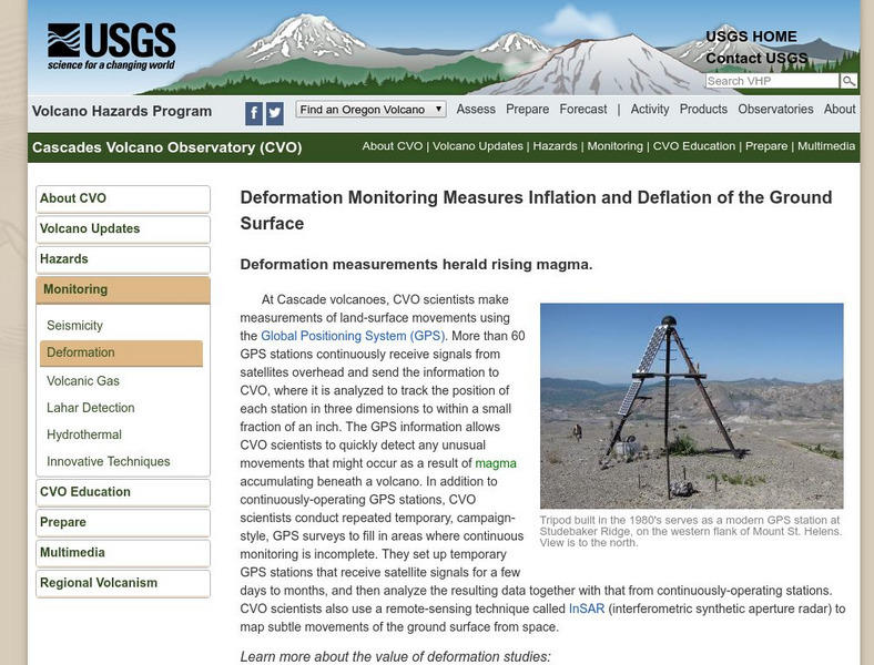
U.s. Geological Survey: Volcano Monitoring Using Global Position Systems
Learn how the U.S. Geological Survey uses global positioning systems (GPS) to monitor active volcanoes.
US Geological Survey
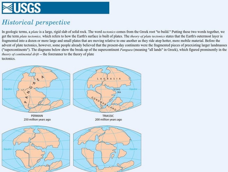
Usgs: Historical Perspective
A graphic map of Lauraisia is provided at this site on continental drift and the history of the Earth. You can also search text to find reference to Laurasia.
US Geological Survey
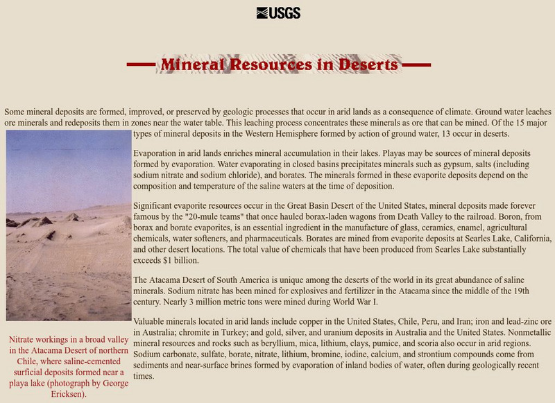
U.s. Geological Survey: Mineral Resources in Deserts
This page contains information about mineral deposits in our Southwest deserts.
US Geological Survey
U.s. Geological Survey: Science Mazes
Help the bee find its comb! 3 fun science mazes to download and enjoy. [PDF] Links to other handy tools, including coloring pages, trivia, stories, games and fun projects.
US Geological Survey
U.s. Geological Survey: Planting a Tree
When is the best time to plant a tree? Learn all about bagged or burlapped trees. Links to other handy tools, including coloring pages, trivia, stories, games and fun projects.
US Geological Survey
Lake Pontchartrain Basin Foundation: Liquid Assets: Our Water Resources
Lessons designed to show young scholars how water quality, water pollution, and personal lifestyle are related. Lessons help students understand the importance of our water resources and water quality. Young scholars will explore the...
US Geological Survey
Lake Pontchartrain Basin Foundation: Natural Resources of the Lake Pontchartrain
A collection of lessons focusing on the importance and uses of natural resources. Website specifically focuses on the resources found on Lake Pontchartrain Basin.
US Geological Survey
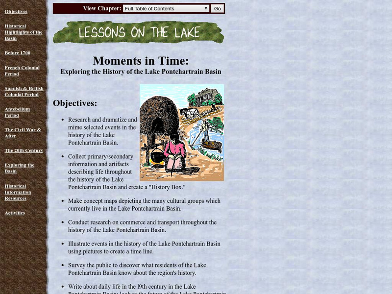
Lake Pontchartrain Basin Foundation: Exploring the History of the Lake
A collection of lessons where learners explore the history of Lake Pontchartrain Basin. By researching and finding primary and secondary documents and artifacts, students will create a time line, concept map, and journals about daily...
US Geological Survey
Us Geological Survey: Polar Dinosaurs in Australia?
One of the richest dinosaur deposits in Australia is located at Dinosaur Cove. It is here that scientists first discovered 'polar' dinosaurs, described here, a kind of dinosaur that was able to exist in a cold climate, unlike others that...
US Geological Survey
Usgs: What Is a Desert?
At this site from the United States Geological Survey, you can read an informative and scientific explanation of what deserts are and what occurs in them. View pictures of deserts and a diagram showing the distribution of deserts in Africa.
US Geological Survey
Usgs: What Are Volcano Hazards?
The U.S. Geological Survey (USGS) scientists are assessing hazards at many of the almost 70 active and potentially active volcanoes in the United States. In this article, learn how they are closely monitoring activity at the most...
US Geological Survey
Usgs: Materials Flow and Sustainability [Pdf]
This site is a fact sheet that uses illustrations to review the steps minerals go through to be made into useable products, and also how some materials can be recycled and returned to the environment.
US Geological Survey
Usgs: Edna Derived Watersheds for Major Named Rivers
A watershed index where students can click on a map of the U.S. to find the names and locations of watersheds. Students can also download a file that can be run in Google Earth to view more about the watershed.
US Geological Survey
Usgs: Map Adventures Lesson 4 Symbols and Legends
This lesson plan offers detailed instructions on the types and uses of map symbols.
US Geological Survey
U.s. Geological Survey: Search Earthquake Catalog
Use this interactive map to find out about earthquakes which have happened around the world since about 1970.


