NASA
Nasa Earth Observatory: Global Maps: Aerosol Optical Depth
View Earth's aerosol optical depth by watching a global map evolve from January 2005 to November 2008. Learn about aerosol amounts such as volcanic ash, sea salt, smoke, and other pollutants.
NASA
Nasa Earth Observatory: Global Maps: Cloud Fraction
View a global map showing cloud fraction from January 2005 to November 2008. Learn how clouds have a warming and cooling influence depending on altitude.
NASA
Nasa Earth Observatory: Global Maps: Chlorophyll
Discover how chlorophyll is related to photosynthesis and watch a map evolve from July 2002 to October 2008 showing the varying levels of chlorophyll. Read about how important chlorophyll and photosynthesis are to our environment.
NASA
Nasa Earth Observatory: Global Maps: Sea Surface Temperature
This global map from NASA's Earth Observatory shows the sea surface temperature from July 2002 to October 2008. Learn the influences that sea surface temperature has on climate and weather.
NASA
Nasa Earth Observatory: Global Maps: Total Rainfall
View a global map from NASA's Earth Observatory showing total rainfall from January 1998 to November 2008.
NASA
Nasa: Pyramids of Dashur, Egypt
An astronaut's view of the pyramids in Dashur, Egypt, accompanied by explanatory text.
NASA
Nasa Earth Observatory: Natural Hazards: Severe Storms
Browse pictures of severe storms, such as blizzards, cyclones, ice storms, and typhoons, while exploring the causes and often dangerous effects of these natural weather phenomena.
NASA
Nasa Earth Observatory: Clouds & Radiation Fact Sheet
This article highlights facts about clouds and their role in the Earth's climate change.
NASA
Nasa Earth Observatory: What Are Phytoplankton? Fact Sheet
Learn about the characteristics of and different species of phytoplankton. Topics highlighted in this article include photosynthesis, global change, and the marine food chain.
NASA
Nasa Earth Observatory: Global Fire Monitoring
Learn how the emissions from forest fires and brush fires create a significant environmental change locally and globally.
NASA
Nasa: Welcome to From Earth to the Solar System (Fettss)
A collection of high-resolution images of space. Images "showcase the discoveries and excitement of planetary exploration, with a focus on the origin and evolution of the Solar System and the search for life".
NASA
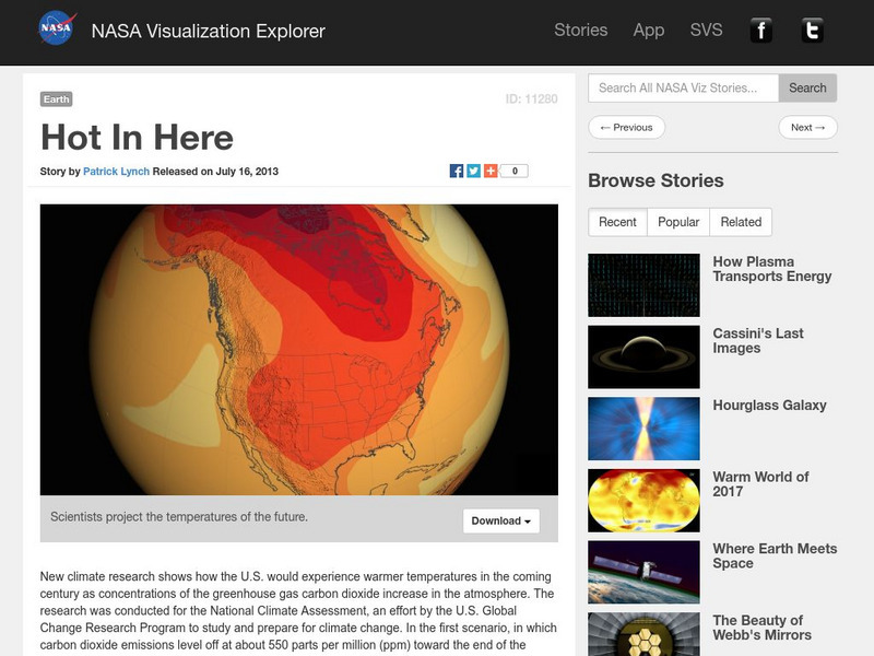
Nasa Visualization Explorer: Hot in Here
This interactive resource from NASA shares scientific projections about temperatures of the future.
NASA
Nasa Visualization Explorer: Enhancing the Extremes
This interactive resource from NASA shares scientific projections about climate change.
NASA
Nasa: Goddard Space Flight Center: Precipitation Education: The Water Cycle
This learning tool from NASA provides educational tools related to precipitation. The water cycle is featured on this portion of the site.
NASA
Nasa, Human Space Flight: Apollo 11 Mission
The story of the Apollo 11 lunar landing is told with dramatic details, pictures, and mission highlights.
NASA
Nasa: A Century of Quake Research April 2006
This site that presents an in depth look at the catastrophic San Francisco earthquake of 1906. Plate boundaries are identified, effects of this natural disaster are outlined, and a wealth of information is discussed that provides a...
NASA
Nasa: Tour of the Electromagnetic Spectrum: Visible Light
Visible light waves are the only electromagnetic waves we can see. We see these waves as the colors of the rainbow. Each color has a different wavelength. Red has the longest wavelength and violet has the shortest wavelength. When all...
NASA
Nasa: Students K 4
NASA-sponsored coverage and research on a range of topics related to space exploration -- flying weather stations, comets, first steps on the Moon, and other space-related topics -- are presented in age-appropriate activities, lesson...
NASA
Nasa: Aerial Photography: The Adventures of Amelia the Pigeon
An animated adventure story, developed by NASA, that helps children understand earth science concepts by using satellite photography and other types of aerial photographs to identify physical features on the surface of the earth. Teaches...
NASA
Nasa: Project Mercury
This site has links to many, many NASA resources about the Mercury program. Detailed information on each of the Mercury missions as well as a large number of images are available from this site.
NASA
Nasa Earth Observatory: Global Maps: Land Surface Temperature
View a global map from NASA's Earth Observatory that shows land surface temperature from February 2000 to November 2008. Learn how land surface temperature is measured and monitored.
NASA
Nasa: Earth Observatory: The Carbon Cycle
Learn about the element carbon and its importance on the Earth's atmosphere and sustainability of life on the planet. Additionally, understand the role the carbon cycle plays in global climate change over time.
NASA
Nasa: Model Rocket
A comprehensive tutorial that depicts the parts of a subsystem within a system. This tutorial dissects a rocket and explains how each part is integral to its actual functioning. Excellent links to otherresources dealing with aerodynamics.
NASA
Nasa: Ozone Hole Watch
You may have heard of CFCs and how harmful they can be to the ozone layer, but do you know the process that chlorine undergoes to contribute to this destruction? NASA explores this topic and has charted the depletion of the ozone since...


