Incorporated Research Institutions for Seismology
Iris: Long Valley Caldera
Long Valley Caldera area has had a history of eruptions and earthquake swarms. Learn more with this interactive map that reveals geology, eruptions, earthquakes, and more.
Incorporated Research Institutions for Seismology
Iris: Basin Range Volcanoes
This interactive map of the Basin-Range Province reveals information about the youngest volcanic features associated with the region.
Incorporated Research Institutions for Seismology
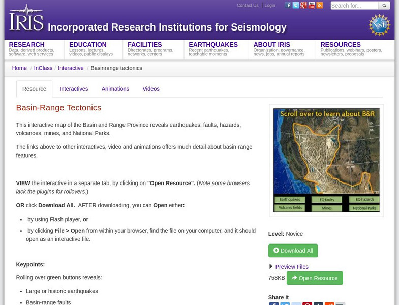
Iris: Basin Range Tectonics
This interactive map of the Basin and Range Province reveals earthquakes, faults, hazards, volcanoes, mines, and National Parks.
Incorporated Research Institutions for Seismology
Iris: Us Array Ground Motion Visualizations
The USArray Ground Motion Visualization (GMV) is a video-based IRIS DMS product that illustrates how seismic waves travel away from an earthquake location by depicting the normalized recorded wave amplitudes at each seismometer location...
Incorporated Research Institutions for Seismology
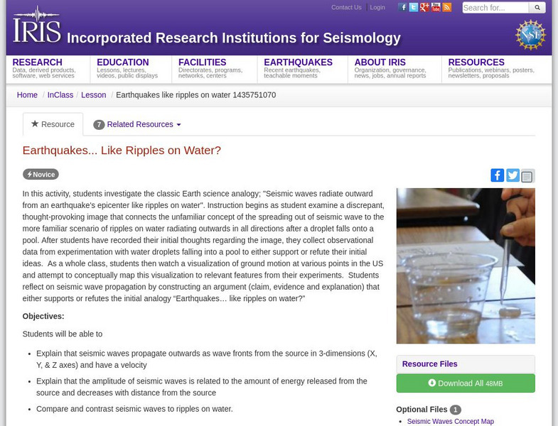
Iris: Earthquakes, Like Ripples on Water?
In this activity, students investigate the classic Earth science analogy, "Seismic waves radiate outward from an earthquake's epicenter like ripples on water."
Incorporated Research Institutions for Seismology
Iris: Walk Run: Locating an Earthquake Using Triangulation
Roll over the seismic stations to see earthquake epicenters triangulated. Touch buttons to watch movies of seismic waves.
Incorporated Research Institutions for Seismology
Iris: Exploring Patterns of Global & Regional Seismicity
Students use the IRIS Earthquake Browser to investigate well-known examples of some plate boundaries.
Incorporated Research Institutions for Seismology
Iris: Demonstrating Building Resonance Using the Simplified Boss Model
Students demonstrate and describe the role of building resonance when assessing earthquake hazards for an urban region.
Incorporated Research Institutions for Seismology
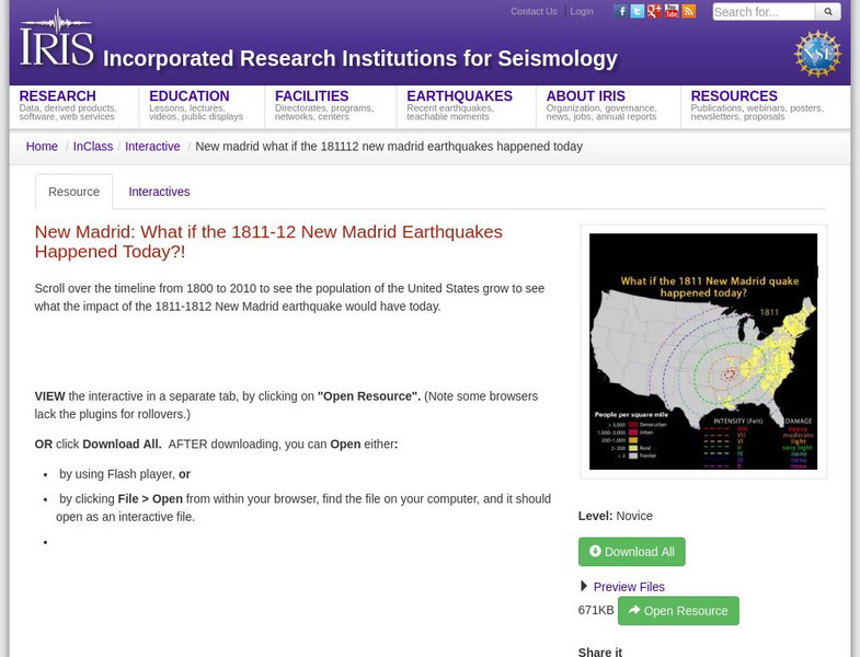
Iris: New Madrid: What if the 1811 12 New Madrid Earthquakes Happened Today?
A timeline from 1800 to 2010 that shows population growth of the United States. It shows the impact of the 1811-1812 New Madrid earthquake would have today.


