University of Texas at Austin
Ut Library: Perry Castaneda World War Ii Maps
An excellent collection of WWII maps. Scroll down for selections from the European Theater of the war.
University of Texas at Austin
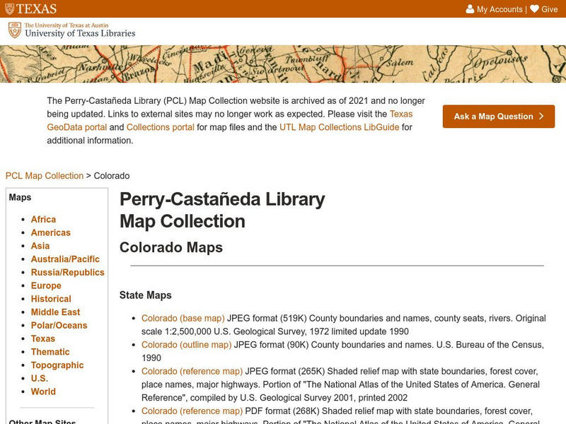
University of Texas: Perry Castaneda Library: Colorado Maps
Features a vast collection of a variety of different maps all representing the state of Colorado. View state maps, city maps, historical maps, National Park maps, and more.
University of Texas at Austin
Ut Library: Perry Castaneda Maps of West Virginia
A collection of West Virginia maps, including city maps and maps of national parks, monuments, and historic sites.
University of Texas at Austin
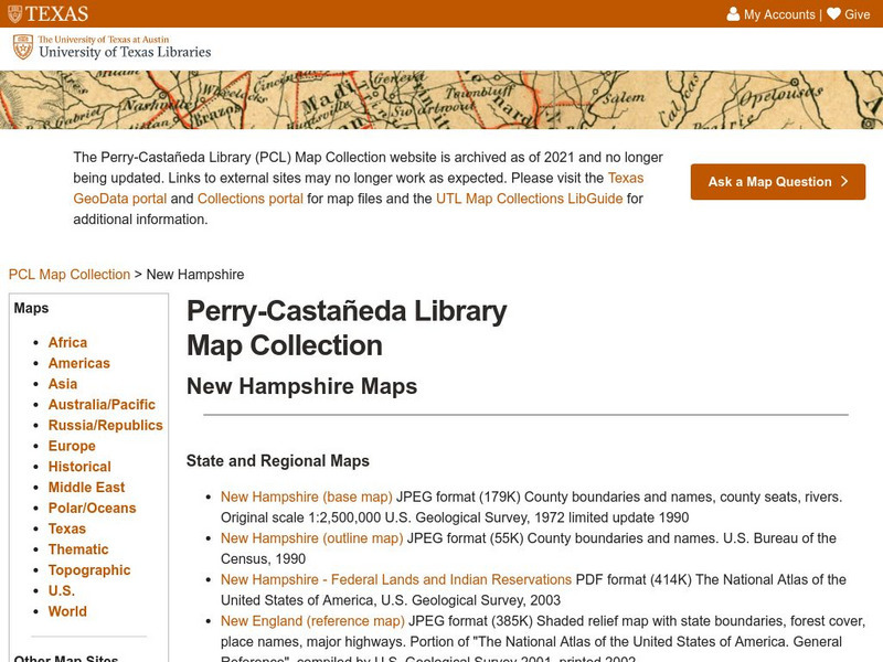
Ut Library: Perry Castaneda Maps of New Hampshire
A collection of maps of the state of New Hampshire, including a few maps of cities and important national monument and historical areas.
University of Texas at Austin
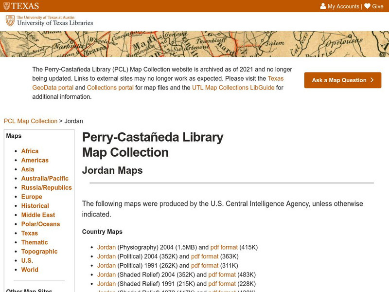
Perry Castaneda Library Map Collection: Jordan
The Perry-Castaneda Library at the University of Texas provides an outstanding collection of maps of the country of Jordan. Also links to maps from other online sources.
University of Texas at Austin
Ut Library: Perry Castaneda Maps of North Carolina
A collection of city maps, historical city maps, and maps of national parks, monuments, and historic sites in North Carolina.
University of Texas at Austin
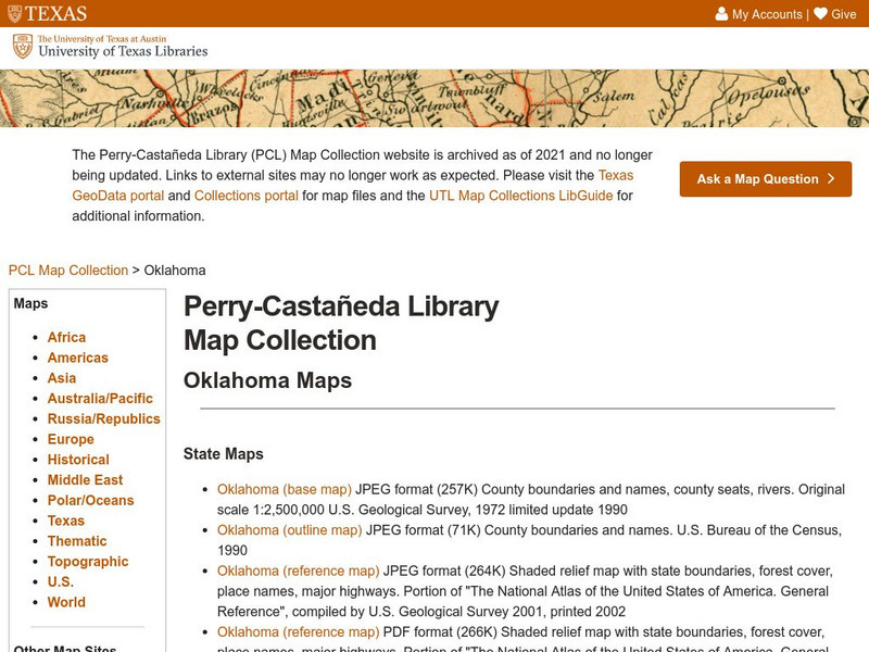
Ut Library: Perry Castaneda Maps of Oklahoma
A collection of state, city and historical maps of Oklahoma. Also includes maps of national monuments and parks in the state.
University of Texas at Austin
University of Texas: Hurricane Rita Maps
Web page with a large quantity of links to information on Hurricane Rita including maps, aerial images, satellite images, data, and much more.
University of Texas at Austin
University of Texas: Kuwait
In this Perry-Castaneda Collection of maps of Kuwait you can find political maps, relief maps and a series of maps showing Iraqi positions and U.S. positions during Desert Storm in 1991.
University of Texas at Austin
Perry Castaneda Library Map Collection: Tennessee Maps
A listing of online historical and current maps for the State of Tennessee. Part of the Perry-Castaneda Library Map Collection.
University of Texas at Austin
University of Texas: Saudi Arabia
Check out this collection of maps of Saudi Arabia from the Perry-Castaneda Collection. You can find political maps, relief maps, and historical maps of the area.
University of Texas at Austin
Perry Castaneda Library Map Collection: Venezuela Maps
This site provides several country and city maps as they relate to Venezuela.
University of Texas at Austin
Ut Library: Perry Castaneda Maps of Maryland
A collection of current and historic maps of Maryland along with maps of cities and national parks in the state.
University of Texas at Austin
Perry Castaneda Library Map Collection: Maps of Bangladesh
The Perry-Castaneda Library at the University of Texas provides an outstanding collection of maps of the country of Bangladesh. PDFs (require Adobe Reader).
University of Texas at Austin
Ut Library: Perry Castaneda Maps of Connecticut
Includes two maps of the state as well as several topographic maps of cities in Connecticut and one historic map of New Haven in 1920.
University of Texas at Austin
Ut Library: Perry Castaneda Maps of Ohio
A collection of state, city and historical maps of Ohio. Also includes maps of national parks and monuments in the state.
University of Texas at Austin
U. Of Texas: Yemen Maps
A collection of maps of Yemen from the Perry-Castaneda Collection offering political maps, historical maps, relief maps, and thematic maps.
University of Texas at Austin
Ut Library: Perry Castaneda Maps of Alabama
Here you will find state and city maps (including outline and topographical maps) of Alabama. Also includes historical maps and maps of Alabama's National Parks.
University of Texas at Austin
University of Texas: Americo Paredes 1915 1999
Students of Paredes music and folklore can find his biography, a bibliography, photos, works, and newsclips of this Mexican American folklorist, teacher, writer, poet, and musician.
University of Texas at Austin
University of Texas: The Eleuterio Escobar Collection
Site chronicles the life of Escobar (1894-1970 CE) and his ongoing fight to obtain educational equality and better conditions in academic facilities for Hispanic American children.
University of Texas at Austin
University of Texas: Persian Empire About 500 Bc
Follow the Royal Highway of Darius I on this old map of the Persian Empire from University of Texas. The borders of the satrapies are shown also.
University of Texas at Austin
University of Texas: Armenia Relief Map
This relief map of Armenia from the Perry-Castaneda collection shows how mountainous this Caucasus country is. It also demarcates the provinces and traces the rivers.
University of Texas at Austin
University of Texas: Historical Maps of Italy
Review these two maps of Italy during the Renaissance from the Perry Castaneda Collection. Zoom in to see the details of a map of the Milanese under the Visconti and one of the Republic of Florence.
University of Texas at Austin
University of Texas: Philippine Islands, 1941
This is a full map of the Philippines in 1941 showing Japanese troop advances and American airfields.


