US Geological Survey
Usgs: Understanding Plate Motions
The U.S. Geological Survey provides descriptions and illustrations for the plate boundaries of the Earth's surface.
US Geological Survey
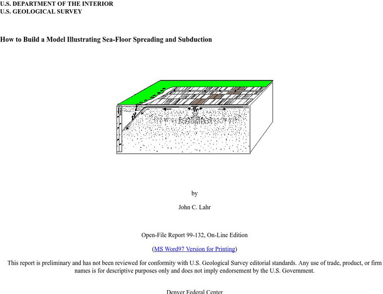
Usgs: How to Build a Model Illustrating Sea Floor Spreading
This is a comprehensive website featuring how to build a model that illustrates sea-floor spreading and subduction. It has diagrams and pictures reviewing major geological concepts.
US Geological Survey
U.s. Geological Survey: Water Resources of the United States
Visit the U.S. Geological Survey's website for a wide variety of information on water. Content includes data on water quality, water use, acid rain, among others; publications; information on water resource programs; maps; information on...
US Geological Survey
U.s. Geological Survey: Water Science for Schools
A collection of resources--pictures, maps, data, glossary--about water and the water cycle.
US Geological Survey
U.s. Geological Survey: San Andreas Fault at Wallace Creek
See interactive, 360 degree panoramic photos of the San Andreas Fault. Aerial photos of the fault were taken using a technique called Kite Aerial Photography.
US Geological Survey
Usgs: Tsunamis in the Pacific Northwest
This page from the U.S. Geological Survey is devoted to Tsunamis in the Pacific Northwest. View some animations of tsunamis.
US Geological Survey
Usgs: South Florida Virtual Tour
South Florida offers ecosystems unknown to the rest of the United States. Follow along with a tour of places like Everglades National Park, Big Cypress National Park and the Florida Keys to investigate these natural wonders.
US Geological Survey
U.s. Geological Survey: Science Stories
Go on an exciting journey with Beatrice, Emily and Polina and learn about the bee population, climate change and how to care for wildlife. A wonderful tool for independent reading practice or a perfect read-aloud activity. Useful links...
US Geological Survey
Northern Prairie Wildlife Research Center
The Great Plains organization provides individuals, organizations, and governments with key information about the Great Plains environment through a resource pool of publications, reports, and government data.
US Geological Survey
U.s. Geological Survey: Desertification
Read about the destructive process of desertification and how this impacts human beings, how satellite images provide data to document what is happening, and some solutions that have been developed to combat the problem.
US Geological Survey
Usgs: Earth Now! Landsat Image Viewer
On this real-time site, the U.S. Geological Survey shares LANDSAT satellite images. The LANDSAT Program is managed by NASA and the U.S. Geological Survey.
US Geological Survey
Usgs: Pocket Texas Geology
The interactive map from the USGS, along with the Texas Natural Resources Information System (TNRIS) and the Texas Bureau of Economic Geology, provides satellite images of Texas' rock units, members, faults, and map sheets. Explore Texas...
US Geological Survey
U.s. Geological Survey: Earthquake Center: Glossary
This resource provides definitions of important earthquake related terms.
US Geological Survey
Usgs: Virtual Tours of National Parks
Excellent site to discover the National Parks from the convenience of your computer. Click on each park for a virtual tour, many in 3D, many offering historic photos. Dig deep into our national geologic story.
US Geological Survey
Usgs: Arsenic in Ground Water in the United States
This page discusses the presence of arsenic (chemical symbol As) in ground water in the United States. Also provides many links to other sites about arsenic (especially in drinking water.)
US Geological Survey
Usgs: Water Q & A
You will find this list of questions interesting and amusing. "Things like, "Is salt water used for anything in the U.S.?," and How can we have a 100-year flood two years in a row?", are found on this this. Click Home to access the site...
US Geological Survey
Usgs: Ground Water: Wells
Wells are extremely important to all societies. Find out how wells are dug today and peruse the list of the different types of wells and the methods used to dig them. Click Home to access the site in Spanish.
US Geological Survey
U.s. Geological Survey: Groundwater Information by Topic
A massive amount of information about groundwater. Topics covered include groundwater basics, humans and groundwater, groundwater quality, and its place in the water cycle. Includes true-and-false quiz and a Q&A section, as well as a...
US Geological Survey
Usgs: Water Science Glossary of Terms
The United States Geological Survey offers a complete look at water science in glossary form. Take advantage of the topic guides at the top of the site. You'll find great maps, clipart and activities centers. Click Home to access the...
US Geological Survey
U.s. Geological Survey: What Is the Water Cycle?
A quick summary of the water cycle that includes a diagram of the cycle, with links to in-depth explanations of each component of the cycle. Click "water-cycle home" to access water-cycle resources in a variety of languages.
US Geological Survey
Usgs: Production of Specific u.s. Gemstones
Photos of the principal gemstones produced in the United States, including an introduction to historical and other background information for each one.
US Geological Survey
U.s. Geological Survey: Introduction to Soils
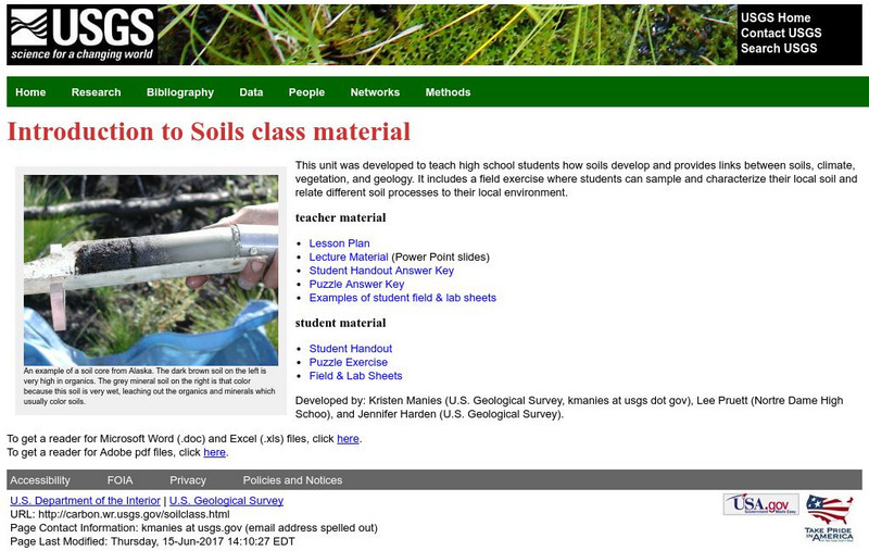
This unit teaches students how soils develop and provides links between soils, climate, vegetation, and geology. It includes a field exercise where students can sample and characterize their local soil and relate different soil processes...
US Geological Survey
U.s. Geological Survey: Gemstones
Publication explores specific gemstones and the U.S. states where they are produced.
US Geological Survey
Usgs: Vermiculite
Information and statistics on the mineral vermiculite are presented by the USGS. Domestic production, sources, and substitutes are discussed in detail.


