National Geographic
National Geographic: Human Impacts on the World Ocean
In this lesson, students are introduced to the idea that humans have enormous impacts on marine ecosystems and resources, and explore the stakeholders involved.
National Geographic
National Geographic: Human Impacts on Marine Species
Students learn about three examples of human impacts on marine life: migration patterns and shipping, algal blooms and water chemistry, and marine debris. Some of these impacts are due to human activity in the ocean, and some impacts on...
National Geographic
National Geographic: Fisheries
In this lesson, students explore issues related to fisheries sustainability and simulate fish monitoring methods commonly used by scientists and resource managers.
National Geographic
National Geographic: Marine Protected Areas Exploration
In this high school lesson, students explore Marine Protected Areas on an interactive map and compare and contrast three case studies. They learn how the MPA classification system works in the United States, apply that system to example...
National Geographic
National Geographic: Marine Protected Areas Management
In this lesson, students read a case study and debate the pros and cons of a Marine Protected Area (MPA) in the region. Then they select a Marine Protected Area and develop and present a management plan for it.
National Geographic
National Geographic: Water Availability in the u.s.
In this lesson plan, students use National Geographic FieldScope to investigate patterns of water availability and precipitation in the United States.
National Geographic
National Geographic: Gis in Action
Use maps to solve problems and help animals. Click on an animal to learn important facts, then click on the map to see layers of different kinds of information.
National Geographic
National Geographic: Encyclopedia: Ocean Trench
Comprehensive information about deep-ocean trenches. Includes maps, a video [1:29], and a vocabulary list.
National Geographic
National Geographic: Programs: Chesapeake Bay Water Quality Project
A project-based collaborative unit of study that teaches students about watershed health using real-time geospatial technology. Students engage in outdoor field experiences while using twenty-first century learning skills.
National Geographic
National Geographic: Society: World War Ii in the Pacific
This interactive timeline takes you through the war in the Pacific during WWII. Vibrant pictures, primary source videos, and explanations accompany each important date. Follow the war in the Pacific from events leading to war to the...
National Geographic
National Geographic: Society: Timeline: World War Ii
One stop shop for everything you need to know about WWII. This interactive timeline features all the major events leading to war, major battles and turning points, rulers during the war, and the consequences of this war. Vibrant...
National Geographic
National Geographic: Interdependence
Use this interactive to explore how interconnected the global economy is. After creating a character, gather some clothes together and enter their origin information into your database. Then look at your own interdependence map and...
National Geographic
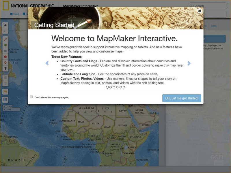
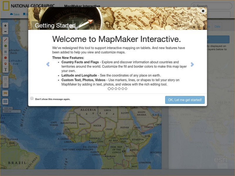
National Geographic: Mapmaker Interactive
Interactive map maker in which students can manipulate world maps adding layers and data with multiple sources of information.
National Geographic
National Geographic: You Have the Power
What factors are important to consider in order to make informed energy decisions? In this interactive, you select one of three locations and the energy resources and then try to provide 100% of that community's electricity needs while...
National Geographic
National Geographic: Map Maker Interactive and 1 Page Map Maker
This National Geographic feature allows visitors to create their own world maps complete with capitals, oceans, climate information, satellite view, personalized trail markings and more. Choose from a detailed color map or the second...
National Geographic
National Geographic: Blog: Tiny Critter Has Seven Sexes
Meet the freshwater Tetrahymena, a single-celled creature that has seven possible sexes. This article presents information from recent research that helps explain how the creature reproduces and how its sex is determined.
National Geographic
National Geographic: Encyclopedia: Core
Understand the characteristics and features of Earth's core from this detailed article. Includes high-quality illustrations, a downloadable poster, a video, and links to other resources.
National Geographic
National Geographic: Encyclopedia: Mantle
An in-depth look at the structure and composition of Earth's mantle, with lots of visuals. Covers lithosphere, Mohorovicic discontinuity, asthenosphere, transition zone, lower mantle, the d double-prime region, mantle convection, mantle...
National Geographic
National Geographic: Build a Solar Eclipse Viewer
This lesson focuses on How can you safely view a solar eclipse and solar activity? It provides step-by-step instructions for building the viewer and how to use it properly. It also provides a video and informational slides.
National Geographic
National Geographic: Cultural Diversity in the United States
Students learn about several different metaphors that have been used to describe cultural diversity in the United States. Then they choose a metaphor that represents today's diverse cultural landscape. Background information, directions,...
National Geographic
National Geographic: Society: The Trading Game
Students simulate the trading of goods between countries. Then they reflect on the challenges of trade between countries.
National Geographic
National Geographic: Remembering the Titanic
A visual masterpiece, journey through the Titanic through these video segments and resources. Includes games and interactives.
National Geographic
National Geographic: Places in the Park
Modeling the use of maps in and out of school can help young scholars to recognize the value of maps and gain confidence with them. Using maps of places that are familiar to students will strengthen their spatial thinking skills before...
National Geographic
National Geographic: Mapping the Classroom
Learning to use and create maps builds students' spatial thinking skills as well as language skills in the early years. In this instructional activity, students practice using the language of location and then apply that language when...


