US Geological Survey
Relative Time Scale
This is a good resource for anyone who wants to understand the historical development that led to our understanding of relative dating. This site also has links to index fossils and a table of geologic time.
US Geological Survey
Index Fossils
If you need examples of index fossils for each of the geologic eras and periods, than this resource is for you. Diagrams of the index fossils and their scientific names are also provided.
US Geological Survey
The Numeric Time Scale
This is a good source for getting an in-depth description of using radioactive decay to measure the ages of rocks. In addition to describing the process of radiometric dating, this resource also includes a geologic time scale and four...
US Geological Survey
U.s Geological Survey: Frequently Asked Questions About the Zebra Mussel
Are zebra mussels edible? What do they eat? How big do they get? These are just a few examples of the types of questions that are answered in this thorough site.
US Geological Survey
Usgs: Developing the Theory
This comprehensive overview of continental drift takes a historical look at the various types of evidence which led to the development of the theory.
US Geological Survey
Usgs: Unanswered Questions
Discover how convection currents in the mantle are the driving force of continental drift. The reading also briefly addresses the scientists who laid the groundwork for this idea.
US Geological Survey
U.s. Geological Survey: Landslide Danger in the San Francisco Bay Area
Download a movie about the 1982 landslides of the San Fransisco Bay Area. Shows many devastating stories, scientific discoveries, and the destruction the landslides caused. [58:27]
US Geological Survey
Us Geological Survey: Glaciers Help Shape Mount Rainier
Description, facts, maps and history of Mt. Rainier, in Washington State. Also links to recent research and publications.
US Geological Survey
Lake Baikal: A Touchstone for Global Change
This site is an interesting article about Lake Baikal in Russia. This unique lake is helping scientists to learn more about the patterns of ecological change in the world and about the history of the world.
US Geological Survey
Usgs: Public Water Supply
This site from the U.S. Geological Survey provides a definition of public water supply, classification of public water, a description of consumption, supply, and distribution of water, water quality, a small public water-supply system,...
US Geological Survey
Non Renewable Resources
Learn how to enhance economic development and growth. Learn the role of the United States Geographic Survey on locating, quantifying and qualifying non-renewable resources.
US Geological Survey
United States Geological Survey: Alfred Lothar Wegner
This site from the United States Geological Survey provides a description of the scientist and his accomplishments.
US Geological Survey
Us Geological Survey: Satellite Image Atlas of Glaciers of the World
This site provides information on glaciers from around the world. Its two-page fact sheet can be downloaded as a PDF file.
US Geological Survey
Usgs: Brine Shrimp
Vivid descriptions on the life cycle of brine shrimp and ecology within the Great Salt Lake.
US Geological Survey
U.s. Geological Survey: Beryllium
A set of available rsources from the USGS on beryllium. Most are in PDF format and are helpful.
US Geological Survey
Us Geological Survey: Monitoring Active Volcanoes
This site from the US Geological Survey contains four pages full of information. The introduction discusses how volcanoes are monitored, the technique page discusses the equipment and the case studies show data. There is a conclusion at...
US Geological Survey
U.s. Geological Survey: Cadmium
The U.S. Geological Survey offers a nice listing of available documents on cadmium and cadmium mining.
US Geological Survey
Usgs: The Four Great Surveys of the West
This site provides historic images of the expanding frontier taken by military and private citizens from 1861-1912.
US Geological Survey
Deserts: Geology and Resources
The U.S. Geological Survey provides information on what a desert is, how the atmosphere influences aridity, where deserts form, types of deserts, desert features, eolian processes, types of dunes, remote sensing of arid lands, mineral...
US Geological Survey
Usgs: Types of Volcanic Eruptions
Types of volcanic eruptions are named after actual volcanoes. View the eruptions of these volcanoes.
US Geological Survey
Usgs: Volcano Landslides and Their Effects
Describes what a volcano landslide is, how they occur, the effects of these landslides, and case studies.
US Geological Survey
Us Geological Survey: Map of Ring of Fire
A clear map of the Ring of Fire, with each volcano named. There are a few sentences of caption under the map.
US Geological Survey
Usgs: Geysers, Fumaroles, and Hot Springs
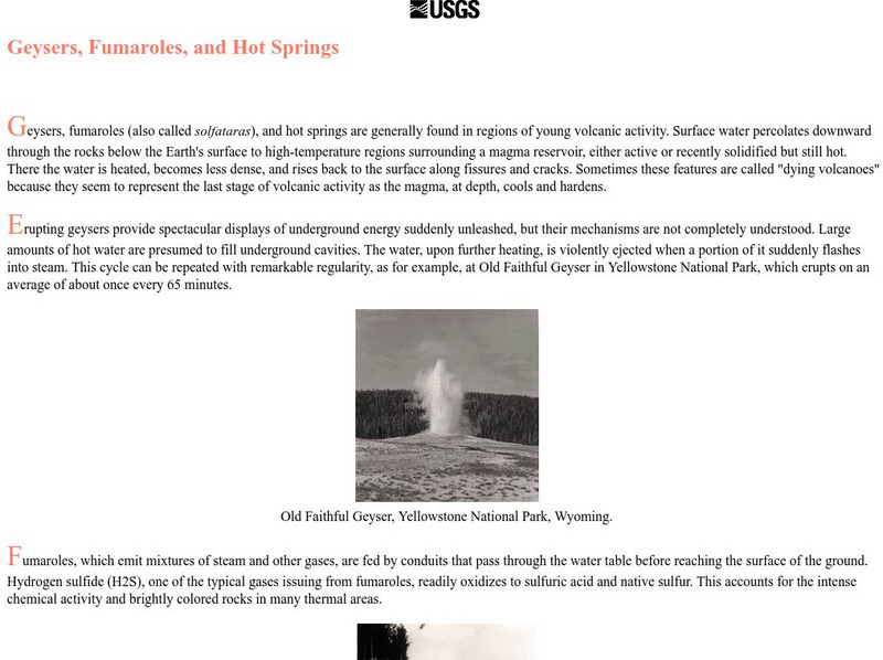
Describes where hot springs are usually located and why, and describes the discharge of hot springs. Also includes information on geysers and fumoroles (steam vents).
US Geological Survey
Usgs: Bathymetry of the Marshall Islands
This map details the area around the Marshall Island seamounts. Seamounts are one of many features that are found in conjunction with abyssal plains.


