US Geological Survey
U.s. Geological Survey: Geology of the National Parks
Access, from one index page, to three-dimensional photographs of all U.S. national parks. Standard photographic images and tours and selected geological resources (e.g., stratigraphic maps) for each park can also be linked to from this...
US Geological Survey
U.s. Geological Survey: Limestone and Marble
An explanation of the differences between limestone and marble, including some excellent pictures.
US Geological Survey
National Wildlife Health Center: Chronic Wasting Disease
NWHC offers a brief history of Chronic Wasting Disease (CWD), followed by consideration of what the recent spread of the disease to relatively densely populated white-tailed deer in the US Midwest may mean.
US Geological Survey
U.s. Geological Survey: Map Your Schoolyard
Lesson plan introduces the concept of maps while providing a forum to practice the skill of navigating using a map.
US Geological Survey
U.s. Geological Survey: Earthquakes: Liquefaction
Maps and images that show liquefaction, the process by which water-filled sediment loses strength and acts like a fluid.
US Geological Survey
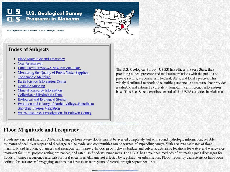
Geological Survey: Activities in Alabama
This resource presents current information regarding the US Geological Survey activities in Alabama.
US Geological Survey
U.s. Geological Survey: Rock'n on Shakey Ground [Pdf]
The basics of earthquake science including factual information about how and why they happen. Also includes some hands-on activities and experiments for students.
US Geological Survey
Usgs Earthshots: Satellite Images of Environmental Change
A remarkable website that provides satellite images of various places on earth from 1972 to present. The student can see and read about environmental changes to the earth's environment.
US Geological Survey
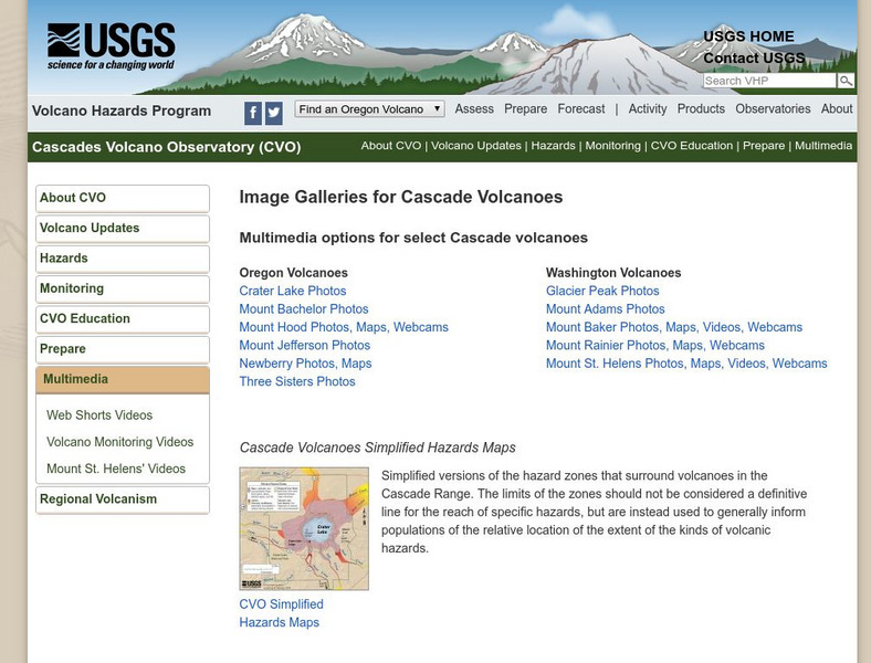
Usgs: Cascade Range Volcanoes
At this site from USGS you can view pictures and resources on the volcanoes located in the Cascade Mountain Range. Experience their beauty and splendor as you learn more about these volcanic mountains.
US Geological Survey
Usgs: Hydroelectric Power: How It Works
Check out this animated site of a hydroelectric generator. There is a picture of a real generator along with a description of how it works.
US Geological Survey
U.s. Geological Survey: Education: Disease Maps
Disease maps that trace the incidence of West Nile virus, encephalitis and dengue fever across the United States and its territories demonstrate one of the many uses of geography.
US Geological Survey
Earth's Water: Rivers and Streams
The USGS explains the definition of a river and how a river is supplied with water. Included is a cross section of a river. Click Home to access the site in Spanish.
US Geological Survey
Usgs: Finding Your Way With Map and Compass
This resource has a topographic map that tells you where things are and how to get to them. Use this site to help you use a map and compass to determine your location.
US Geological Survey
Usgs: The Water Cycle
Learn about the movement of water from Earth's surface to the atmosphere with this site. Site describes the water cycle in words and with a diagram. Also explored on the page is the distribution of Earth's global water supply.
US Geological Survey
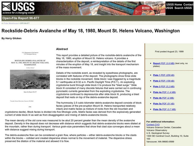
Usgs: Rockslide Debris Avalanche of May 18, 1980
Provides information on the rockslide that occurred at Mount St. Helens on May 18, 1980. Site is in outline form.
US Geological Survey
Us Geological Survey: Hawaiian Volcanoes
This site from the US Geological Survey provides general information about the Hawaiian volcanoes.
US Geological Survey
United States Geological Survey: Kilauea Volcano
These time lapse movies of Kilauea are hosted by the Hawaiian Volcano Observatory. This resource also includes a webcam which provides near real time footage of two active volcanoes.
US Geological Survey
Usgs: Volcano Hazards Program: Dotsero Volcanic Center
Since 2001 the USGS has been monitoring the earth's surface in Yellowstone to understand the activity of volcanoes and earthquakes. This resource recognizes the Dotsero Volcanic Center.
US Geological Survey
Usgs: Volcano Cams Around the World
Through the wizardry of online cams, you can view major volcanos around the world.
US Geological Survey
Usgs: Common Water Measurements
This site from the U.S. Geological Survey provides great definitions of seven measurements that can be taken on water. Includes pH, dissolved oxygen, and turbidity. Click Home to access the site in Spanish.
US Geological Survey
Usgs: Earth's Water: Lakes and Reservoirs
The USGS reviews the differences between lakes and reservoirs. They discuss the history of freshwater and salt water lakes. Click Home to access the site in Spanish.
US Geological Survey
U.s. Geological Survey: Rain
At this site from the U.S. Geological Survey you can find out what makes rain such a valuable resource. Included is a chart that tells how much rain different cities in the United States receive. Click Home to access the site in Spanish.
US Geological Survey
Water Properties
This site provides a discussion of the physical properties of water. Click Home to access the site in Spanish.
US Geological Survey
Usgs: November 29, 1975 Kalapana
Describes details of the earthquake of November 29, 1975 Kalapana in Hawaii, the tsunami, and the eruption of the volcano Kilauea as a result of the earthquake.


