US Geological Survey
Us Geological Survey: How Hawaiian Volcanoes Work
This page from the US Geological Survey has several links to pages that explain the formation of volcanoes. These links will also explain the creation of new land and other hazards.
US Geological Survey
U.s. Geological Survey: Life of a Tsunami
Animations illustrating long-lasting tsunami waves once they strike a coast.
US Geological Survey
U.s. Geological Survey: Cesium
This site from the U.S. Geological Survey provides a nice summary of cesium from the viewpoint of a geologist or mineralogist.
US Geological Survey
Cvo: Magma, Lava, and Lava Flows
Site delves into magma, lava and lava flows. Provides numerous links for additional references.
US Geological Survey
Us Geological Survey/ Historic Eruptions
Tambora of Indonesia had one of the deadliest eruptions since 1500. You will learn about the volcano and you can link to other related items.
US Geological Survey
Usgs: Volcanic Hazards, Features, and Phenomena
Site from the U.S. Geological Survey provides a brief list of volcano terminology including descriptions as well as links to major menus.
US Geological Survey
Us Geological Survey:stream Gaging and Flood Forecasting [Pdf]
The U.S. Geological Survey and the National Weather Service work together to provide information at this site about floods. The site talks about two main topics on floods, stream gaging and flood forecasting.
US Geological Survey
Usgs: Guidelines for Writing Hydrologic Reports [Pdf]
A very informative site, which is provided for by the U.S. Geological Survey, on how to write hydrologicic reports.
US Geological Survey
Usgs: Natural Hazards Programs: Lessons Learned for Reducing Risk [Pdf]
This site provides links to articles about natural disasters such as volcanoes, earthquakes, landslides, floods, etc.
US Geological Survey
Usgs: Geologic Maps
This site has a good description of what this particular type of map represents. It also explains the colors and letter symbols, faults, and strike and dips.
US Geological Survey
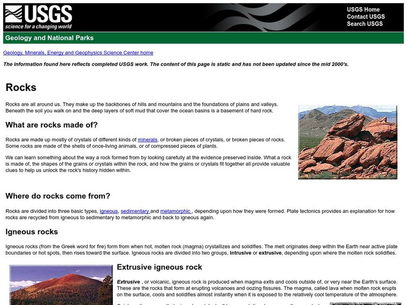
U.s. Geologic Survey: Rocks
What are rocks made of? Where do rocks come from? What is an igneous rock? These are just some of the questions answered by the scientists of the U.S. Geologic Survey.
US Geological Survey
U.s. Geological Survey: How Much Bigger..? Calculator
A calculator to show the difference in magnitude between earthquakes. Understand that the Richter scale used to measure earthquakes is base-10 logarithmic scale.
US Geological Survey
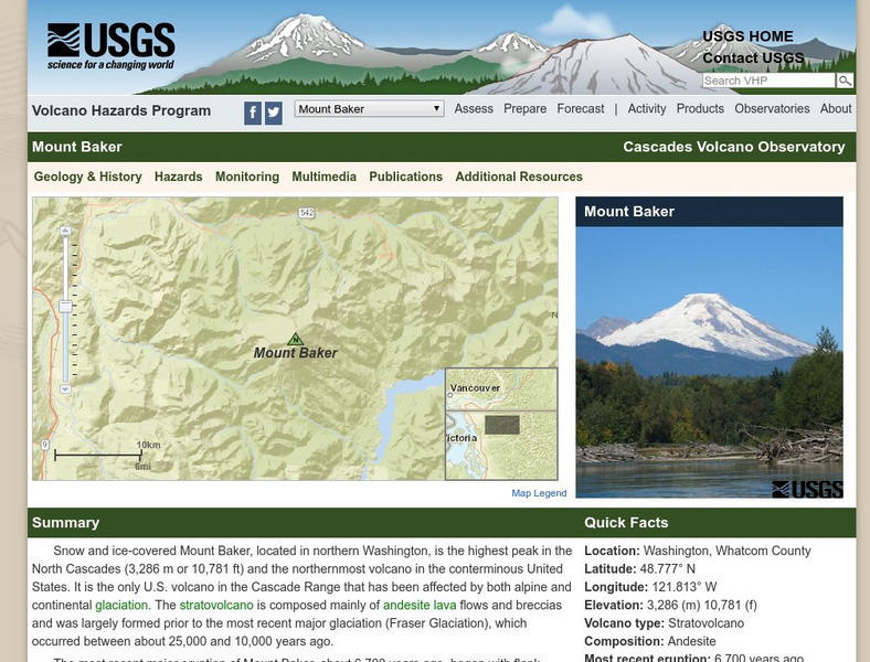
Usgs: Mount Baker Volcano, Washington
Provides detailed information on Mount Baker as well as information on glaciers, hydrology, lakes and drainages and other points of interest.
US Geological Survey
U.s. Geological Survey: Repeat Photography Project
The Repeat Photography Project pairs historic images with contemporary photos thus documenting glacial decline through photography while communicating the effects of global warming.
US Geological Survey
Us Geological Survey: Potential Hazards of Mt. Rainier
Mt. Rainier first erupted a million years ago. Find out all about its eruptive history and potential hazards that could threaten people today.
US Geological Survey
Us Geological Survey: Wolverine Glacier
Learn about the history, mass balance and meteorlogical data, and view several photos of the Wolverine Glacier.
US Geological Survey
Usgs: 2004 Deadliest in Nearly 500 Years for Earthquakes
The USGS provides the facts and figures on 2004's earthquakes, which is the second most fatal in recorded history.
US Geological Survey
U.s. Geological Survey: Did You Feel It?
Locate all the most recent earthquakes on this interactive map. Data includes location, magnitude and time of the quake.
US Geological Survey
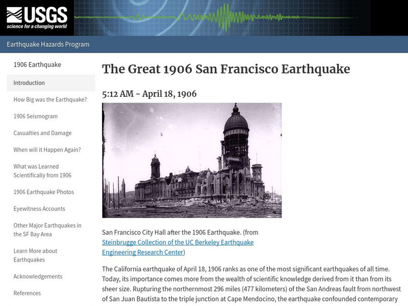
U.s. Geological Survey: The Great 1906 San Francisco Earthquake
General information about the San Francisco earthquake, as well as some information about how studying that earthquake helped scientists in learning more about when and where earthquakes will occur.
US Geological Survey
U.s. Geological Survey: Earthquake Lists, Maps, and Statistics
All kinds of earthquake data compiled here. Find the deadliest earthquakes, most damaging earthquakes, world and US statistics, historical earthquake lists, and more.
US Geological Survey
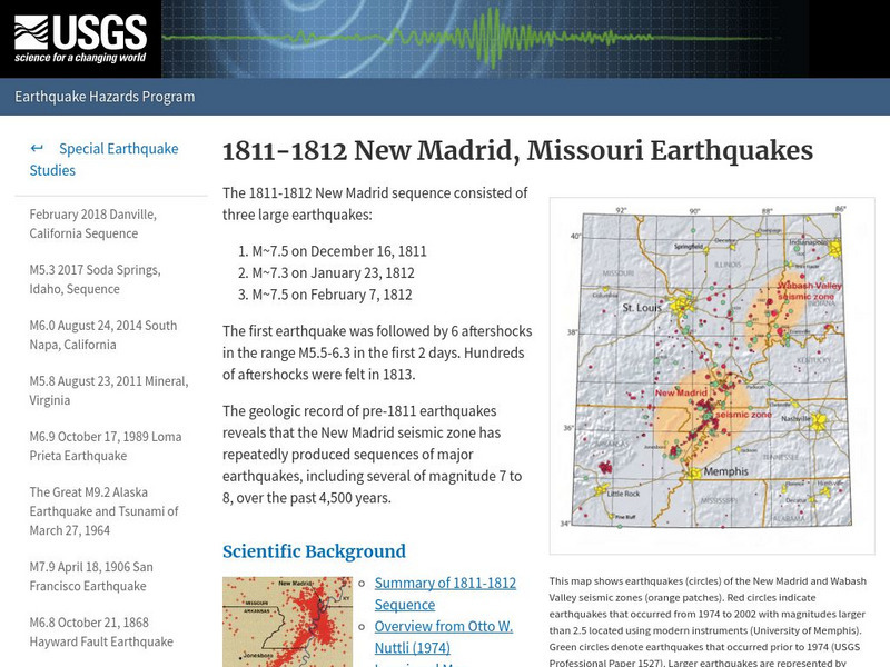
U.s. Geological Survey:1811 1812 New Madrid, Missouri Earthquakes
A detailed description of events that took place during the 1811 and 1812 earthquakes in New Madrid, and information concerning a similar event in the future.
US Geological Survey
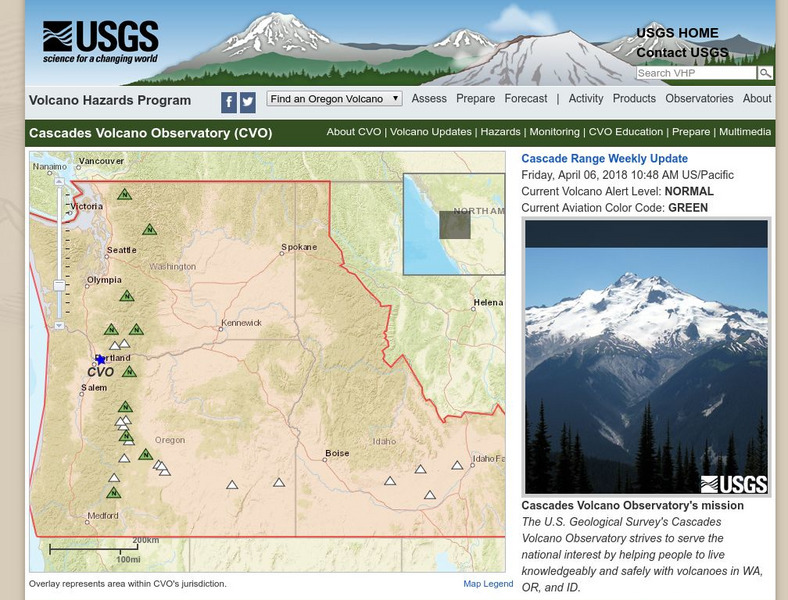
U.s. Geological Survey: Volcano Hazards Program: Cascades Volcanoes Observatory
Information about all the volcanoes in the Cascades, which range from Canada in the north to California in the south.
US Geological Survey
U.s. Geological Survey: 1906 Marked the Dawn of the Scientific Revolution
This site contains information about we have learned about the San Andreas Fault since 1906.
US Geological Survey
U.s. Geological Survey: Haleakala Crater and the East Maui Volcano
Information from USGS about the Haleakala Crater and the East Maui volcano, including the volcano's eruptive history, maps of the crater, and geologic data sets.


