Incorporated Research Institutions for Seismology
Iris: Seismic Monitor
Poke around the world map to examine where there is earthquake activity.
Incorporated Research Institutions for Seismology
Iris: Buildings and Earthquakes Which Stands? Which Falls? [Pdf]
This is an excellent collection of background material, resource and video links, and lesson activities on earthquakes and methods for constructing buildings that will withstand an earthquake.
Incorporated Research Institutions for Seismology
Iris: Gps Measuring Plate Motion [Pdf]
This resource looks at how geologists are able to measure the movement of tectonic plates using satellite-based data and how they were able to surmise in the past that the plates were moving. It also discusses how to read GPS time-series...
Incorporated Research Institutions for Seismology
Iris: Station Monitor
Students can type in their zip code to find and explore the nearest live earthquake station data.
Incorporated Research Institutions for Seismology
Iris: Seismic Monitor
Seismic Monitor allows you to monitor global earthquakes in near real-time, visit seismic stations around the world, and search the web for earthquake or region-related information.
Incorporated Research Institutions for Seismology
Iris: Exploring the Earth Using Seismology
The paths of some seismic waves and the ground motion that resulted are shown in this poster.
Incorporated Research Institutions for Seismology
Iris: Earthquake Browser
A live, real-time data global map of all current earthquake activity.
Incorporated Research Institutions for Seismology
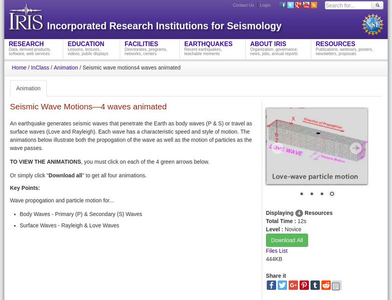
Iris: Seismic Wave Motions
Four animations showing the movements of surface waves and body waves that are created by earthquakes. Includes P, S, Rayleigh, and Love waves.
Incorporated Research Institutions for Seismology
Iris: Incorporated Research Institutions for Seismology
This university consortium provides on-going, current information on seismic activity happening all over the world. Of special interest is the Seismic Monitor. Open this page to a full screen to monitor global earthquake activity in real...
Incorporated Research Institutions for Seismology
Iris: Seismic Tomography [Pdf]
Learn how seismic tomography imaging helps scientists understand the formation of the Earth's interior.
Incorporated Research Institutions for Seismology
Iris: Earthquake Machine: Basic One Block & Simple Graph Animated
Animation of the single-block "Earthquake Machine" model shows how "Forces, Faults, and Friction" interact. [0:16]
Incorporated Research Institutions for Seismology
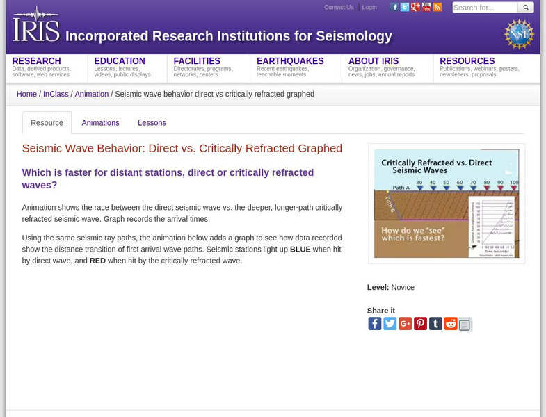
Iris: Seismic Wave Behavior: Direct vs. Critically Refracted Graphed
Examine the behavior of seismic waves. This graph illustrates direct and critically refracted waves.
Incorporated Research Institutions for Seismology
Iris: Exploring the Earth Using Seismology
Earthquakes create seismic waves that travel through the Earth. By analyzing these seismic waves, seismologists can explore the Earth's deep interior. This fact sheet uses data from the 1994 magnitude 6.9 earthquake near Northridge,...
Incorporated Research Institutions for Seismology
Iris: J Ama Seis
jAmaSeis facilitates the study of seismological concepts in middle school through introductory undergraduate classrooms. Users can obtain and display seismic data in real-time from either a local instrument or from remote stations.
Incorporated Research Institutions for Seismology
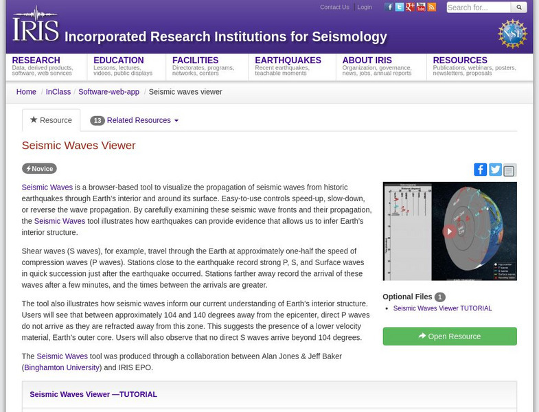
Iris: Seismic Waves Viewer
Visualize the propagation of seismic waves from historic earthquakes through Earth's interior and around its surface.
Incorporated Research Institutions for Seismology
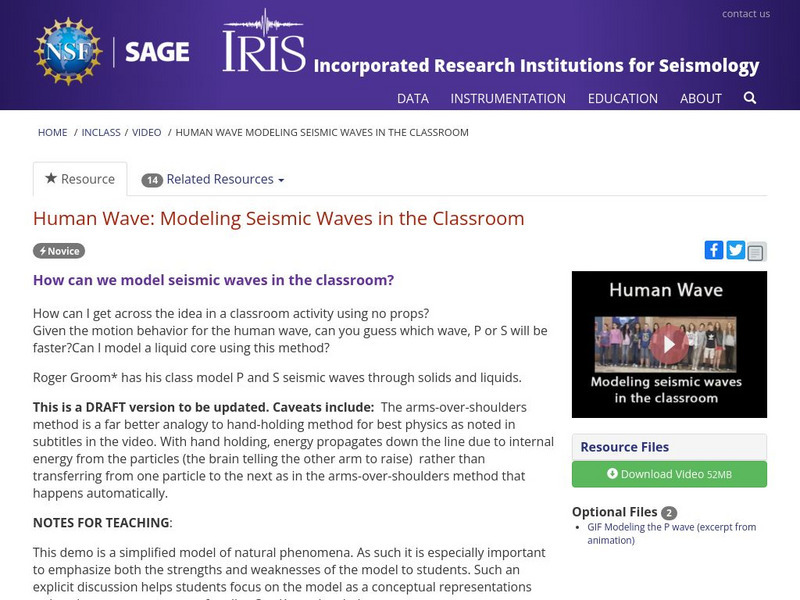
Iris: Human Wave: Modeling Seismic Waves in the Classroom
A demo of how can we model seismic waves in the classroom. [8:27]
Incorporated Research Institutions for Seismology
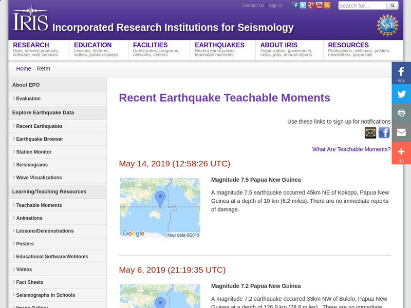
Iris: Recent Earthquake Teachable Moments
Live links to the data from the most recent earthquakes around the globe.
Incorporated Research Institutions for Seismology
Iris: Watch Earthquakes as They Occur
This fact sheet provides an introduction to an interactive display of global seismicity that allows users to monitor earthquakes in near real-time, view records of ground motion, learn about earthquakes, and visit seismic stations around...
Incorporated Research Institutions for Seismology
Iris: New Madrid: Find the Faults Using Seismic Data
Raw seismic data gives us information about the ground beneath us. This interactive cross section shows faults beneath the New Madrid area.
Incorporated Research Institutions for Seismology
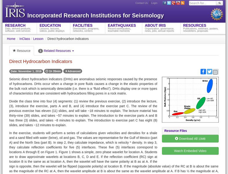
Iris: Direct Hydrocarbon Indicators
This video lecture and accompanying exercises allow students to define a DHI and how to identify them, describe how seismic data are used to determine reservoir rock and fluid properties, and list the processing and modeling steps used...
Incorporated Research Institutions for Seismology
Iris: Seismic Sequences
In this exercise, students will interpret one (1) 2D seismic line- Line C. This line is from offshore West Africa. This is as specific that the students need to know to work the exercise. During the review of the solution, it will be...
Incorporated Research Institutions for Seismology
Iris: New Petroleum Ventures
This lesson explains and defines how companies work towards placing bids on license areas (blocks). Students learn regional information on the Gippsland basin and participate in a discussion of a mock lease sale of fifteen (15) blocks in...
Incorporated Research Institutions for Seismology
Iris: Seismic Reflection
A complete lesson on seismic reflection. A video, slide presentation, and practice with solutions are included.
Incorporated Research Institutions for Seismology
Iris: Seismic Tomography
Using a technique called seismic tomography, scientists decoded the information contained in seismograms' squiggles to develop this image of an individual slice through the deep Earth.


![Iris: Buildings and Earthquakes Which Stands? Which Falls? [Pdf] Lesson Plan Iris: Buildings and Earthquakes Which Stands? Which Falls? [Pdf] Lesson Plan](https://d15y2dacu3jp90.cloudfront.net/images/attachment_defaults/resource/large/FPO-knovation.png)


