US Geological Survey
The Water Cycle for Schools: Intermediate Ages
Water can travel from the highest mountain tops to the largest oceans. Using an interactive, young scientists trace the movement using an interactive online resource. They follow the water cycle by reading pop-up explanations on a...
US Geological Survey
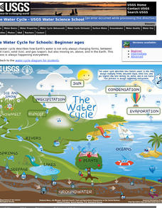
The Water Cycle for Schools: Beginner Ages
Explore a day in the life of a water droplet. An interactive infographic helps scholars learn how water cycles work from precipitation all the way around to condensation. Learners hover over each step of the cycle to read more as they...
US Geological Survey
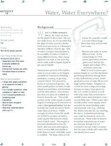
Water, Water, Everywhere?
Less than one percent of the earth's water is available for human use. A hands-on activity models the phenomenon for young scientists. Beginning with a specific volume of water, learners remove water that correlates to the percent of...
US Geological Survey
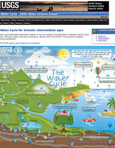
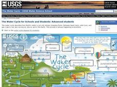
The Water Cycle for Schools: Advanced Ages
Explore the water cycle in an interactive diagram of the process. The diagram shows how water is a moving system and constantly changing forms. The resourc includes vocabulary words that pupils click on in order to discover more about...
US Geological Survey
The Water Cycle — A Placemat for Kids
What better time to reinforce a concept than when you're eating? Boost scholars' knowledge of the water cycle with an eye-catching placemat featuring playful raindrops and bright colors.
US Geological Survey
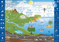
Water Cycle Poster
How many parts make up the water cycle? How many things on Earth rely on water as a system? Learn more about the water cycle in an informative and colorful poster. Print and hang, or project the graphic in the classroom for optimal use.
US Geological Survey
Usgs: Geologic Provinces of the United States: Records of an Active Earth
Discover what geological treasures abound all around the nation. The United States has been organized into provinces based on geological features. Click on a province on the map, or on the links below it, to view a page of information...
US Geological Survey
U.s. Geological Survey: 27 Ideas for Teaching With Topographic Maps
A collection of twenty-seven activities that can be done with topographic maps, for elementary up to university level students. Includes many accompanying resources.
US Geological Survey
U.s. Geological Survey: Greenhouse Gases [Pdf]
Lesson plan in which students observe and contrast thermal properties of three major greenhouse gases. Using simple, readily available materials, students collect temperature change over time for dry air, water-saturated air, carbon...
US Geological Survey
U.s. Geological Survey: Land and People: Finding a Balance
Environmental study project engages high school students in studying earth science resource issues. The project focuses on the interaction between people and the environment in three regions of the United States: Cape Cod, Los Angeles,...
US Geological Survey
U.s. Geological Survey: The Life Cycle of a Mineral Deposit [Pdf]
This teacher's guide consisting of 10 activity based learning exercises defines what a mineral deposit is and how a mineral deposit is identified and measured, how the mineral resources are extracted, how the mining site is reclaimed,...
US Geological Survey
U.s. Geological Survey: Lead Soft and Easy to Cast [Pdf]
This detailed resource teaches about lead and the important role it plays in the national economy, national security, and lives of Americans every day. Discover how we use lead, where it comes from, and where future lead supplies might...
US Geological Survey
Usgs: Fact Sheet: Molybdenum a Key Component of Metal Alloys [Pdf]
Read this detailed fact sheet to learn about molybdenum and the important role it plays in the national economy, national security, and lives of Americans every day. Discover how we use it, where we can find it, and where we can find...
US Geological Survey
U.s. Geological Survey: What's in My Soil? [Pdf]
Lesson plan engages students to separate, examine and identify the major components of soil to better understand how these components give soil its unique physical characteristics.
US Geological Survey
U.s. Geological Survey: Fossils, Rocks, and Time
Publication delves into the importance of studying the Earth's history and how we go about doing it. View pictures and diagrams showing the geological time scale and fossil succession.
US Geological Survey
U.s. Geological Survey: Copper a Metal for the Ages [Pdf]
Read this detailed resource to learn about copper and the important role it plays in the national economy, national security, and the lives of Americans every day.
US Geological Survey
U.s. Geological Society: Landslide Hazards [Pdf]
Information about landslide hazards is presented in a detailed fact sheet. Landslide hazards occur in many places around the world and include fast-moving debris flows, slow-moving landslides, and a variety of flows and slides initiating...
US Geological Survey
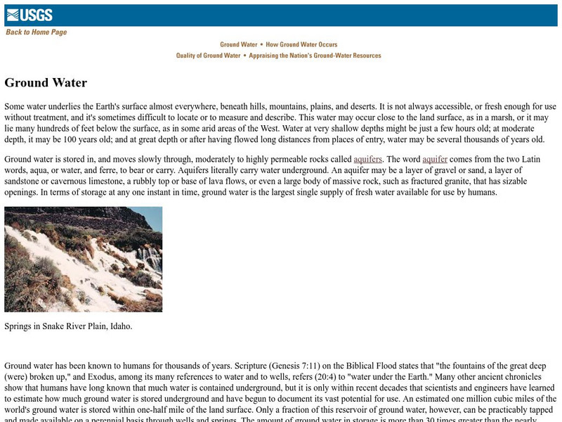
U.s. Geological Survey: Ground Water
Useful publication from the U.S. Geological Survey explains through text, images, and diagrams what groundwater is, where it is stored, how it occurs, and its quality.
US Geological Survey
U.s. Geological Survey: Nutrients and Pesticides
The first two sections provide a general overview of findings on nutrients and pesticides and their implications for water-resource management and protection. More detailed technical discussions of the sources, distributions, and...
US Geological Survey
U.s. Geological Survey: Hotspots: Mantle Thermal Plumes
Learn more about the hot spot theory developed in 1963 by the Canadian geophysicist J. Tuzo Wilson. Diagrams help you visualize the way hot spots formed geologic structures such as the Hawaiian Islands.
US Geological Survey
Usgs: Fire and Mud, Mount Pinatubo
A chronicle of the eruption of Mount Pinatubo in the Philippines. Click on Fire and Mud Contents at the bottom of the first page to see the contents of this report.
US Geological Survey
Usgs: The Usgs Water Science School
Use this site as a resource to learn about the many aspects of water.
US Geological Survey
Bismuth
A listing of all sorts of available reports on bismuth. Great resources for students at many levels.
US Geological Survey
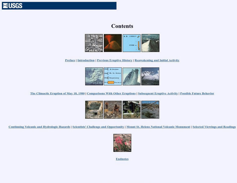
Us Geological Survey: Mt. Saint Helen
This page has a graphical and textual table of contents. You can go to an introduction, preface, previous eruption history, reawakening, and more!




![U.s. Geological Survey: The Life Cycle of a Mineral Deposit [Pdf] Lesson Plan U.s. Geological Survey: The Life Cycle of a Mineral Deposit [Pdf] Lesson Plan](https://content.lessonplanet.com/knovation/original/103395-5c42239a8a99c7379ce149e931874c8b.jpg?1661543877)
![Usgs: Fact Sheet: Molybdenum a Key Component of Metal Alloys [Pdf] Handout Usgs: Fact Sheet: Molybdenum a Key Component of Metal Alloys [Pdf] Handout](https://content.lessonplanet.com/knovation/original/103399-944f9004dbee1432a00f40b2b28d37e5.jpg?1661543881)

![U.s. Geological Survey: Copper a Metal for the Ages [Pdf] Handout U.s. Geological Survey: Copper a Metal for the Ages [Pdf] Handout](https://content.lessonplanet.com/knovation/original/103405-6eaac490860b1fda7ff1425a00731b10.jpg?1661803266)
