Curated by
ACT
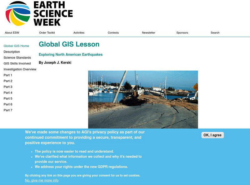
In this series of lessons, students use Geographic Information Systems (GIS) together with the tools and data from the North America Global GIS CD to investigate earthquakes, volcanoes, and population from a local to global scale. [Toolkit available to order for $7.95]
3 Views
2 Downloads
Concepts
Classroom Considerations
- This resource is only available on an unencrypted HTTP website.It should be fine for general use, but don’t use it to share any personally identifiable information

