Curated by
ACT
This Asia for Educators: Outline Maps graphic also includes:
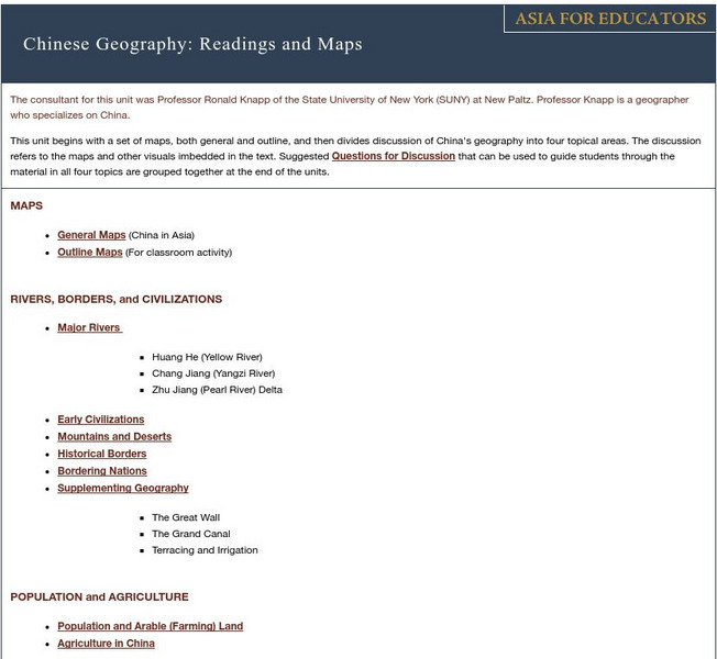
The outline maps are designed to be used as transparencies that can be overlaid on an overhead projector to demonstrate the diversity of China's physical and cultural geography. Copies can be printed out and reproduced also for student use. Many of the descriptive sections utilize the maps in ways to sharpen student's understanding of China's geography. They may all be printed out or printed as they are introduced.
3 Views
0 Downloads
Concepts
Classroom Considerations
- This resource is only available on an unencrypted HTTP website.It should be fine for general use, but don’t use it to share any personally identifiable information

