Curated by
ACT
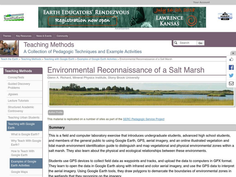
A field and computer laboratory exercise that introduces students to using Google Earth, GPS, aerial imagery, and an online illustrated vegetation and tidal marsh environment identification guide. Students are challenged to distinguish and map vegetation and physical environmental zones within a salt marsh. They also learn about the physical and ecological relationships between these environments.
3 Views
0 Downloads

